print, etching, engraving
#
dutch-golden-age
# print
#
etching
#
landscape
#
cityscape
#
engraving
Dimensions: height 406 mm, width 293 mm
Copyright: Rijks Museum: Open Domain
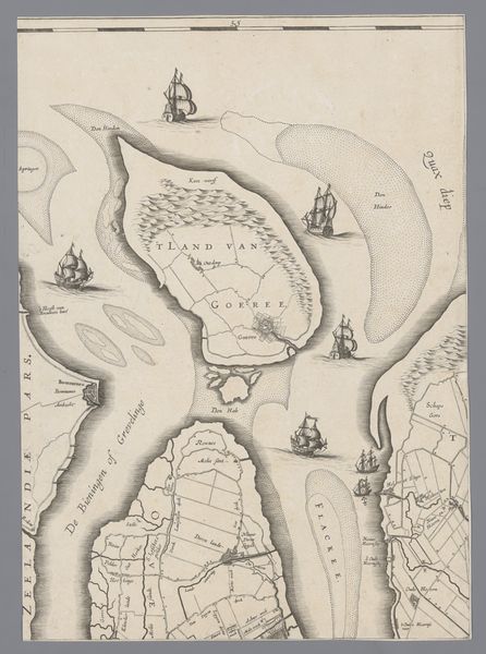
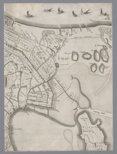
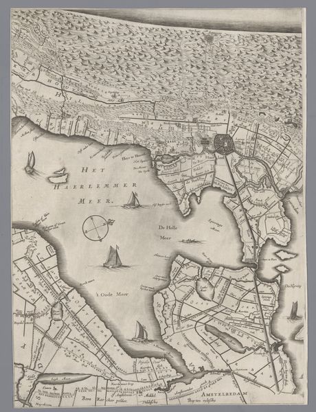
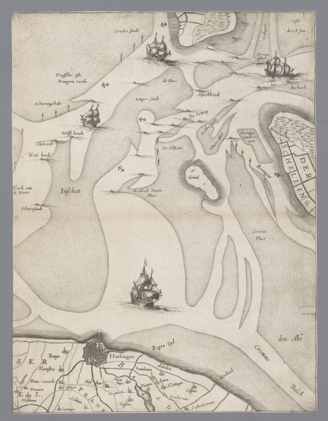
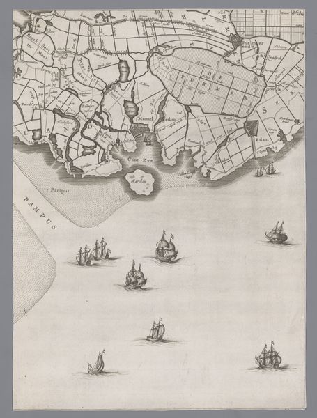
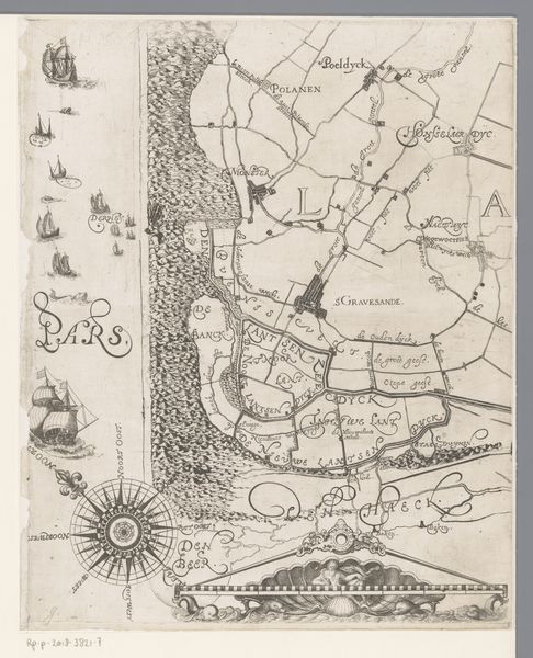
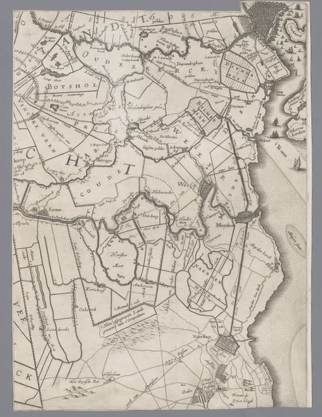
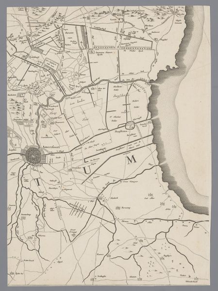
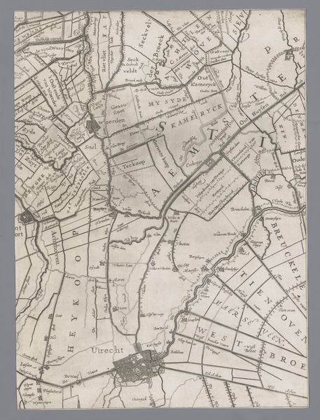
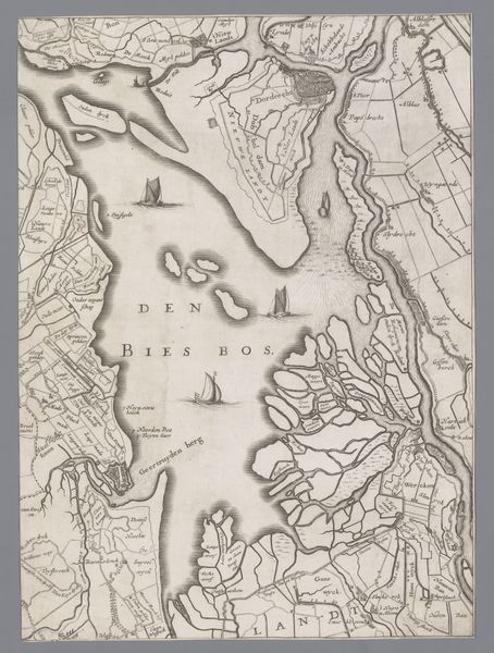
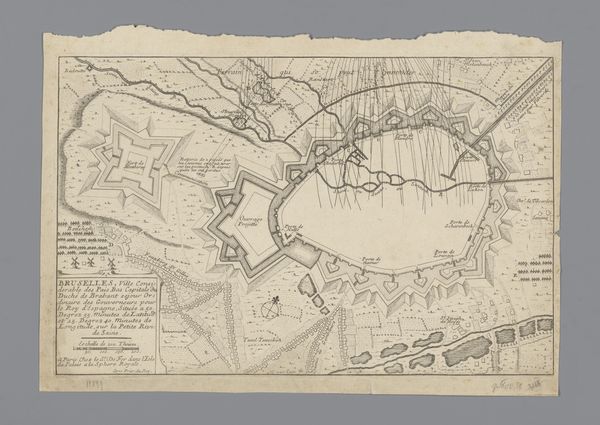
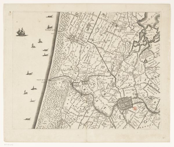
Jacob Aertsz Colom created this map of Holland and Utrecht sometime in the 17th century. The image embodies the intense Dutch interest in mapping and navigation during its Golden Age. The map creates meaning through its precise visual codes, detailing waterways and land divisions, signifying control and ownership. The prominent compass rose underscores the importance of navigation to Dutch trade and naval power. Produced during a time of immense economic growth fueled by maritime dominance, this map reflects a culture deeply invested in exploration and commerce. The detailed rendering of land plots and waterways can be linked to the powerful merchant class and their sophisticated understanding of geography as a tool for economic and political leverage. Institutions like the Dutch East India Company propelled the need for such detailed cartography. Understanding this artwork requires looking into the archives of the Dutch maritime trade and the records of its powerful trading companies. By examining such historical resources, we see how cartography was not just about mapping space, but also about shaping power.
Comments
No comments
Be the first to comment and join the conversation on the ultimate creative platform.
More like this