print, engraving
#
dutch-golden-age
# print
#
landscape
#
engraving
Dimensions: height 409 mm, width 293 mm
Copyright: Rijks Museum: Open Domain
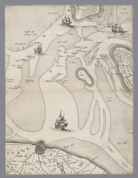
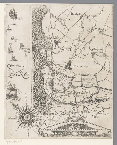
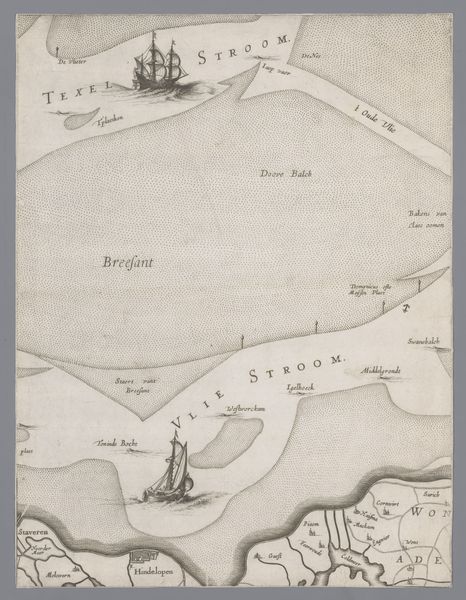
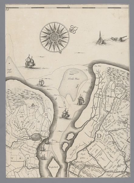
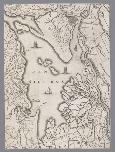
Editor: This is a print from 1639 by Jacob Aertsz. Colom, titled "Kaart van het Graafschap Holland en Utrecht (plaat 10)", or "Map of the County of Holland and Utrecht, plate 10." It's an engraving and it gives the impression of the Netherlands as very industrious and naval-focused. What layers of meaning or historical context am I missing here? Curator: That's a keen observation. Given its creation in the Dutch Golden Age, we must look beyond a mere representation of land. How do you think maps like these participated in constructing Dutch identity and power? Editor: Well, I imagine these maps were important for trade and navigation, right? And for showing off the Republic's reach? Curator: Exactly. Think about it: the map isn't just a tool; it's a declaration. It speaks to the mastery over territory, trade routes, and implicitly, control over resources and people. Consider how the visual representation of space reinforces a sense of national pride and perhaps even a justification for colonial endeavors. Does the emphasis on waterways and ships tell us something about Dutch priorities and power dynamics? Editor: That’s really interesting. So the map is not a neutral document, but one embedded in the power structures of its time? A tool of nation building. Curator: Precisely. This map embodies Dutch maritime prowess. It is directly tied to issues of global trade, colonialism, and the making of a nation-state, reflecting the social and political realities of the 17th century. Editor: That’s given me so much to consider. I definitely won't look at historical maps the same way again. Curator: Indeed, they are much more than just geographical representations! They're visual arguments about who holds power and whose stories get told.
Comments
No comments
Be the first to comment and join the conversation on the ultimate creative platform.
More like this