graphic-art, print, engraving
#
graphic-art
#
dutch-golden-age
# print
#
landscape
#
line
#
cityscape
#
engraving
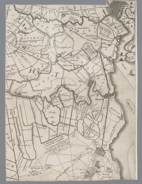
Dimensions: height 402 mm, width 297 mm
Copyright: Rijks Museum: Open Domain
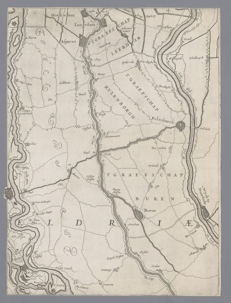
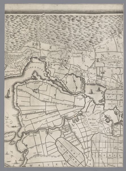
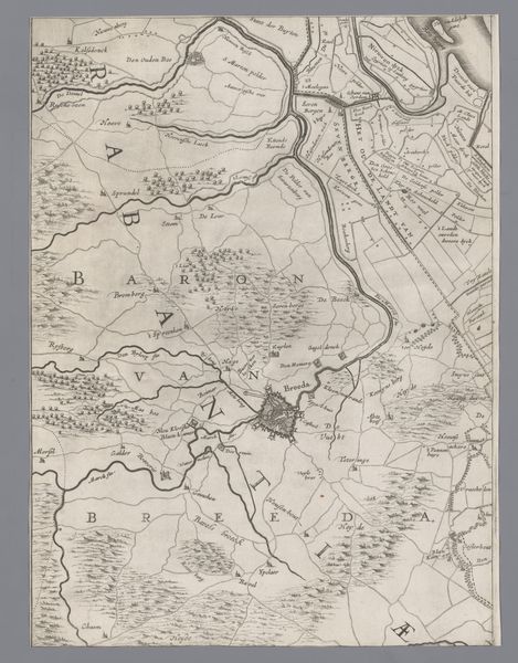
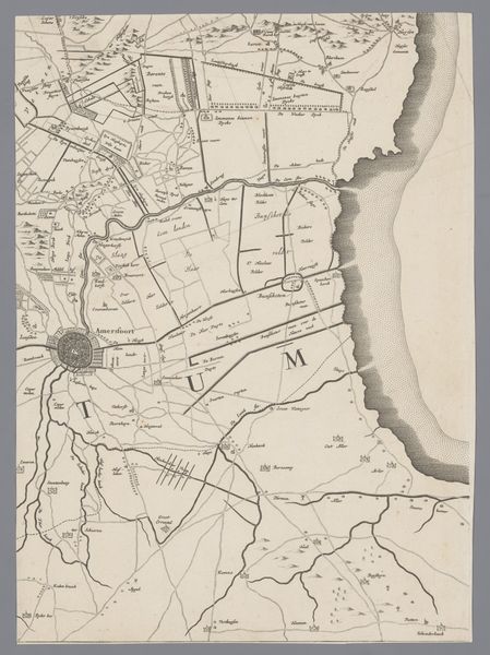
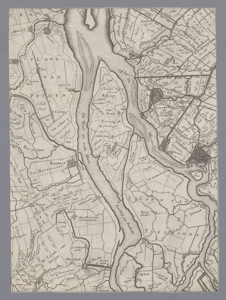
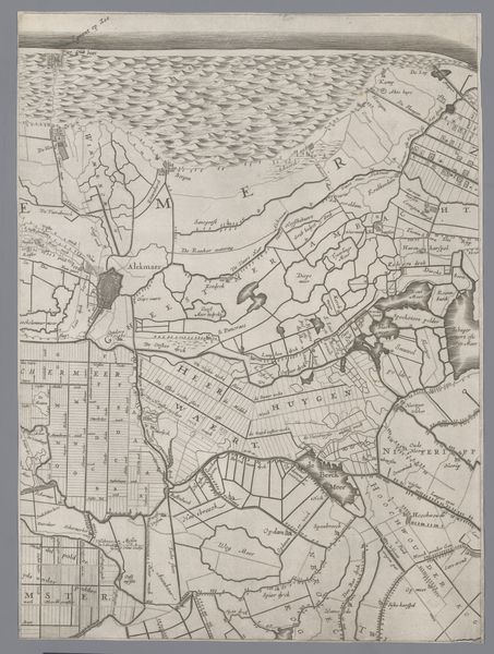
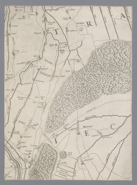
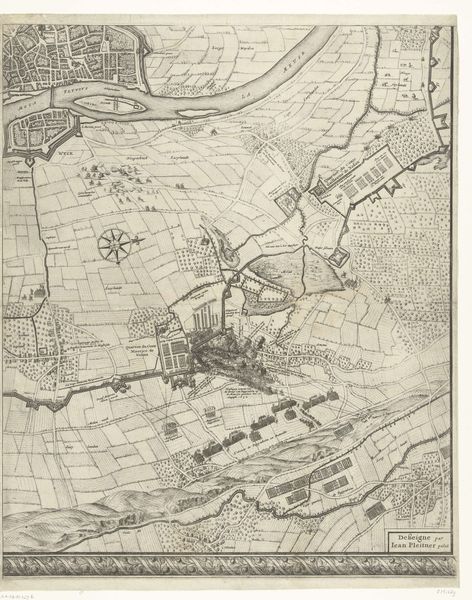
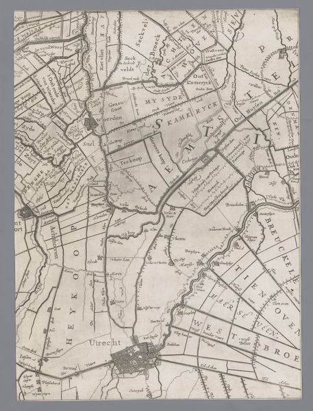
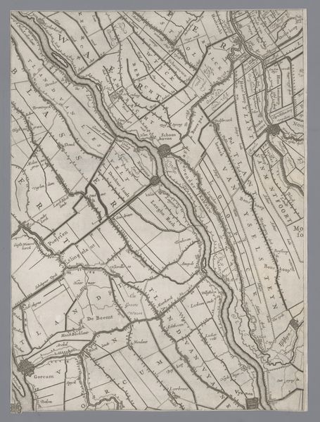
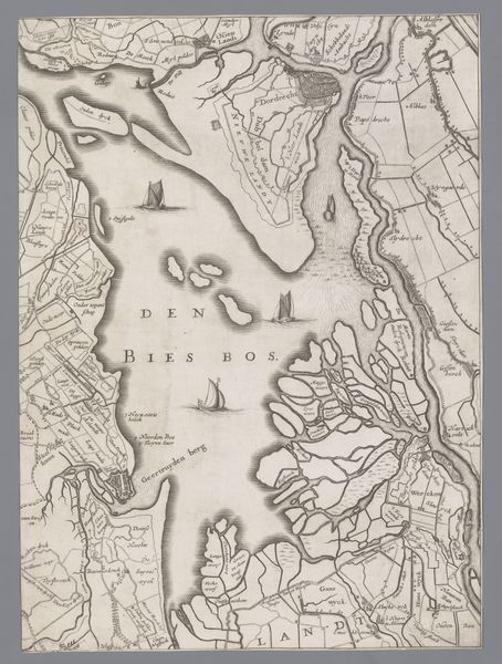
This map of Holland and Utrecht, created by Jacob Colom, presents us with more than just geographical data. It's a landscape imbued with symbolic weight, with rivers acting as arteries, and cities as hubs of human activity. Consider the winding rivers. Water, a life-giving element, is often perceived as a boundary, a connector, or even a symbol of the subconscious. We might remember the rivers in ancient Greek myths, like the River Styx, a boundary between the living and the dead, an archetype that surfaces throughout art history. Here, the rivers meander like threads of fate. And the cities, represented as fortified points of civilization—aren't they reminiscent of ancient citadels, promising protection? This notion echoes through time, from the walls of Troy to the fortified towns of the Renaissance. Even in our modern cityscapes, we seek the psychological comfort of clearly defined spaces. This map invites us to see our own history, our own psychological maps reflected in its lines and symbols. The cyclical rhythm of human experience, captured in cartography.
Comments
No comments
Be the first to comment and join the conversation on the ultimate creative platform.
More like this