graphic-art, print, etching, engraving
#
graphic-art
#
dutch-golden-age
# print
#
etching
#
landscape
#
linocut print
#
pen work
#
engraving
Dimensions: height 408 mm, width 296 mm
Copyright: Rijks Museum: Open Domain
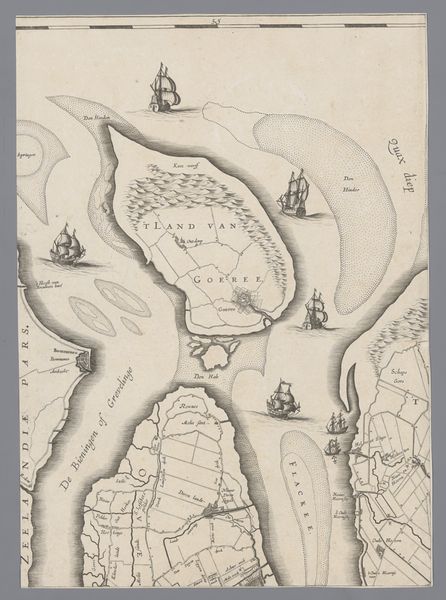
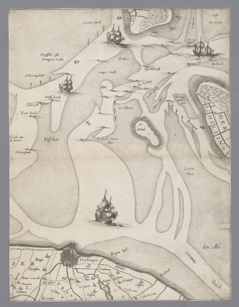
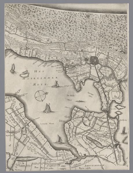
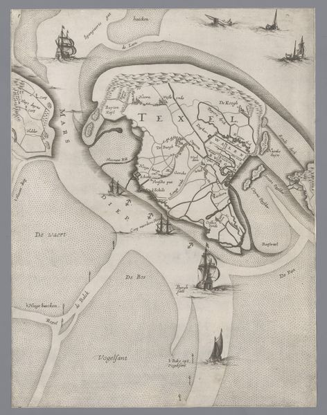
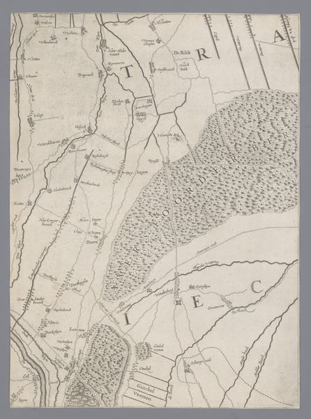
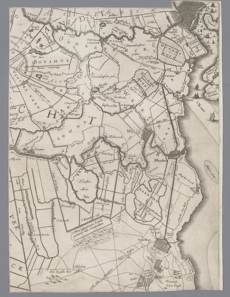
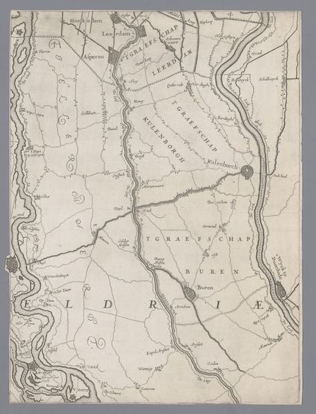
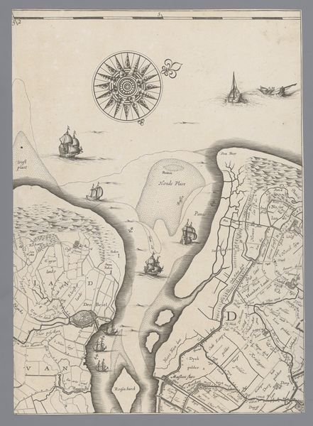
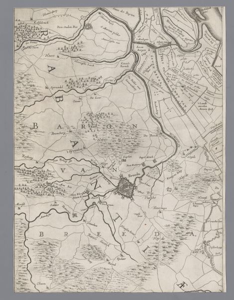
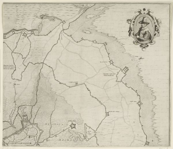
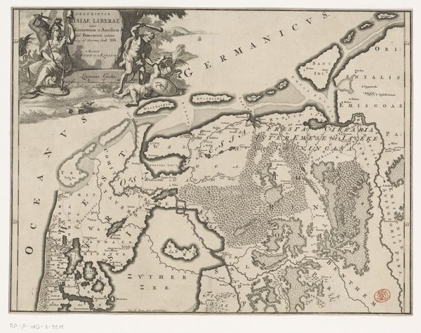
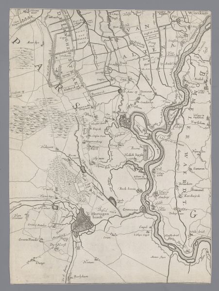
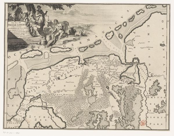
Jacob Aertsz Colom created this map of Holland and Utrecht in the 17th century using etching and engraving techniques. Consider the labor involved: the drawing, the careful carving into the metal plate, and the printing itself. This wasn't just a technical exercise; it was a way of knowing and representing the world. The dense network of lines defines not just geographical features, but also political boundaries and economic interests. Note the detail given to waterways. These weren't just scenic features; they were the highways of the time, crucial for trade and transport. Maps like this one were essential tools for merchants and rulers, aiding in navigation, resource management, and military strategy. The very act of mapping was an assertion of power, a way of claiming and controlling territory. So, next time you look at a map, remember that it's not just a neutral representation of space, it's a product of human labor, technology, and social context.
Comments
No comments
Be the first to comment and join the conversation on the ultimate creative platform.
More like this