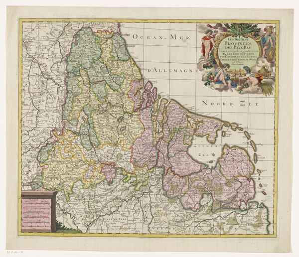
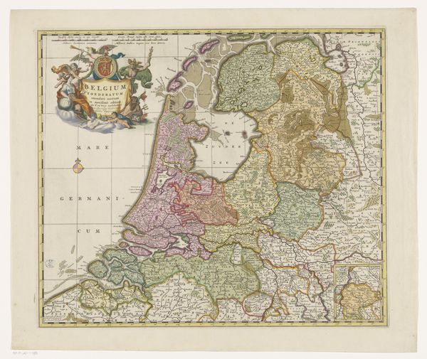
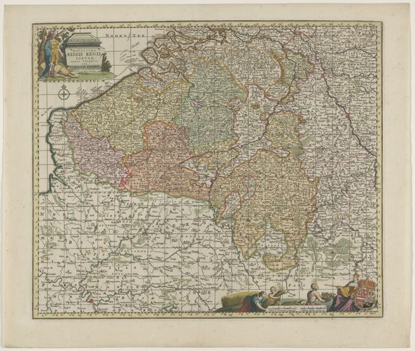
graphic-art, print, engraving
#
graphic-art
#
baroque
# print
#
landscape
#
history-painting
#
engraving
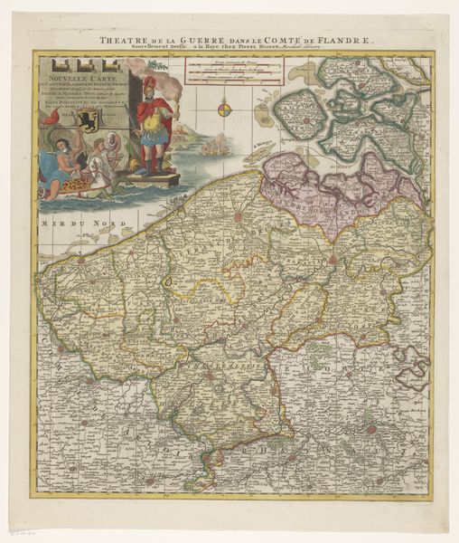
Dimensions: height 575 mm, width 487 mm
Copyright: Rijks Museum: Open Domain
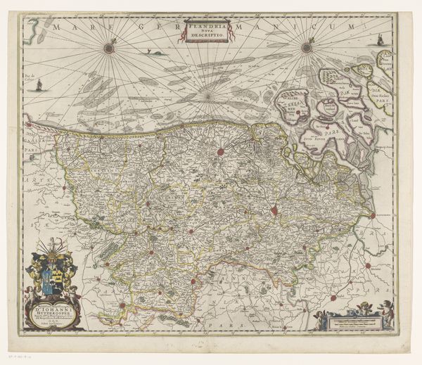
This is an undated map of the County of Flanders, held at the Rijksmuseum and created by an anonymous artist. Maps are never neutral documents; they reflect the values and worldview of those who create them. Notice the allegorical figure in the upper left. Here, the County of Flanders is represented as a queen-like figure, attended by what appear to be children, perhaps hinting at the region's future. Meanwhile, a figure emerges from the sea, perhaps a reference to Flanders's complex relationship to the sea. Cartography and politics were deeply intertwined, with maps serving as tools to legitimize territorial claims and project power. Flanders, with its rich history of trade and cultural exchange, was often at the center of such geopolitical strategies. Consider this map as a political statement, intended to solidify a particular vision of Flanders. How does it invite viewers to understand and feel about this region? What unspoken stories lie beneath the surface of its carefully drawn lines and symbolic figures?
Comments
No comments
Be the first to comment and join the conversation on the ultimate creative platform.
More like this