drawing, watercolor
#
drawing
#
water colours
#
dutch-golden-age
#
landscape
#
watercolor
#
coloured pencil
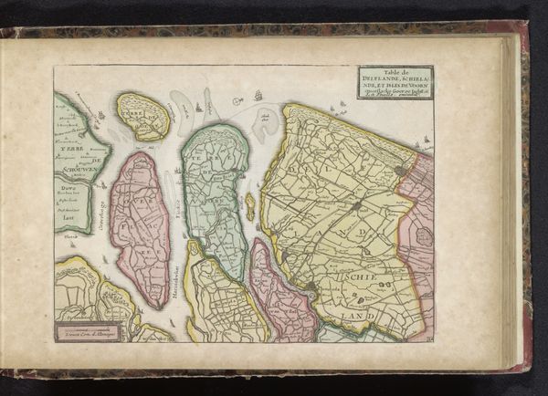
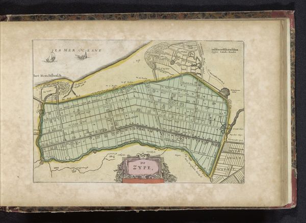
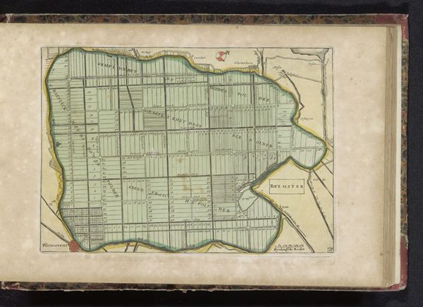
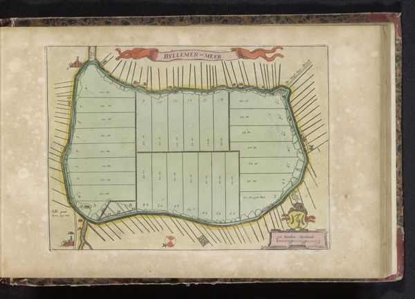
Dimensions: height 168 mm, width 222 mm
Copyright: Rijks Museum: Open Domain
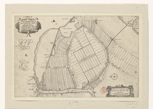
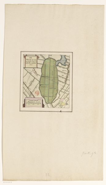
This is an anonymous map of the polders Purmer and Wormer. Look at the map’s structure—two distinct land masses sit side by side, each meticulously segmented into narrow, numbered plots. This ordered division creates a striking visual rhythm, a testament to human efforts to tame and organize the natural world. The pale green of the reclaimed land contrasts sharply with the pink hues surrounding them, emphasizing the boundary between the cultivated and the untamed. Notice how the parallel lines, delineating each plot, converge, creating a sense of depth and perspective. The map is not merely a representation of space, but also of power—the power to measure, divide, and control land. This grid-like organization reflects a broader impulse within cartography to impose a rational structure onto the landscape. In this way, the map becomes a canvas for projecting human will onto the earth, transforming it into a space of utility and control.
Comments
No comments
Be the first to comment and join the conversation on the ultimate creative platform.
More like this