drawing, print, etching, ink, pen
#
drawing
#
dutch-golden-age
# print
#
pen sketch
#
etching
#
landscape
#
ink
#
geometric
#
pen
#
cityscape
Dimensions: height 186 mm, width 286 mm
Copyright: Rijks Museum: Open Domain
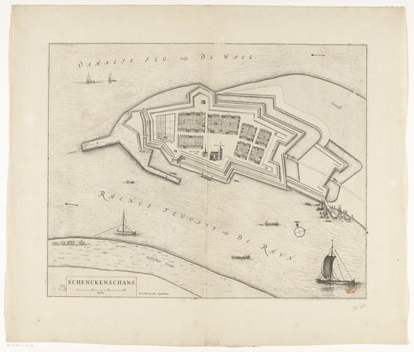
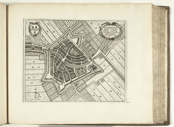
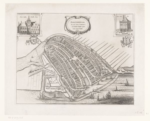
Curator: Here we have an etching and ink drawing titled “Kaart van de Diemermeerpolder,” dating back to 1631, a map of the Diemermeer polder created by an anonymous Dutch artist during the Golden Age. Editor: It's captivating. The meticulous linework suggests a purpose far beyond mere aesthetic pleasure. The geometric organization almost seems to prefigure modern abstract art. Curator: Precisely. This wasn’t just decoration; it served a vital role in the development and governance of the region. The Diemermeer polder was a large-scale land reclamation project, converting a lake into usable land for agriculture and settlement. Editor: Note the linear precision; these are clearly delineated plots, almost like an early version of urban planning laid bare. It speaks to the Dutch preoccupation with order and control over nature. Curator: Absolutely, and consider the political context. The Dutch Republic was asserting its power, transforming the landscape to bolster its economic and social standing. This map symbolizes human dominance, marking territory and progress in very material terms. It underscores the role of cartography in consolidating control. Editor: I'm particularly drawn to how the dense areas of cross-hatching contrast with the sparse details. This interplay of dark and light creates a visual hierarchy. Is this simply utilitarian, or does it indicate which zones were deemed more vital at the time? Curator: The darker areas represent existing settlements or infrastructure, indicating populated or cultivated sectors, thereby underlining the region’s socio-economic distribution. You can see the Amstel River too with Amsterdam visible nearby, showing the link of the Diemermeer to the capital. Editor: Remarkable! It’s tempting to view this map solely for its historical context, but the balance between technical drawing and visual art provides immense visual depth. It really is both utilitarian and aesthetically compelling. Curator: Agreed, understanding its function sheds light on the artwork, as well as how art often serves very concrete social needs and reveals cultural aspirations. Editor: It transforms our perception entirely. I walked away viewing a beautiful diagram—something beautiful from something functional.
Comments
No comments
Be the first to comment and join the conversation on the ultimate creative platform.
More like this