drawing, print, paper, ink, engraving
#
drawing
#
baroque
# print
#
landscape
#
paper
#
ink
#
coloured pencil
#
engraving
Dimensions: height 154 mm, width 233 mm
Copyright: Rijks Museum: Open Domain
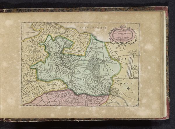
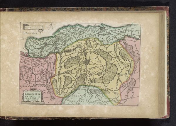
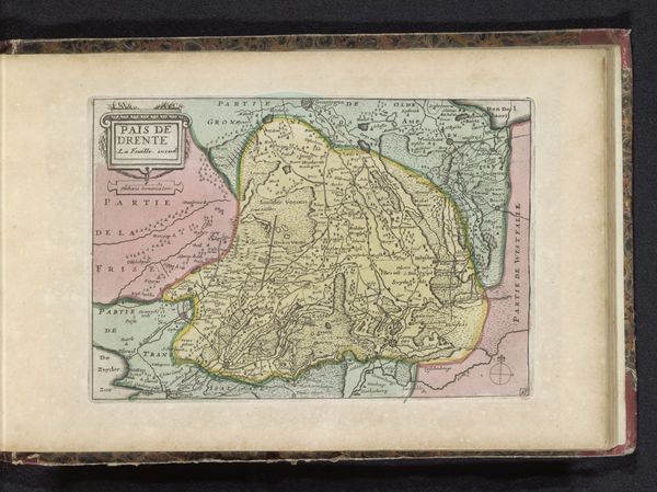
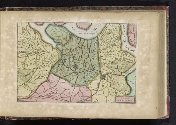
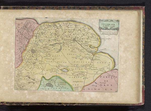
This is an undated map of Oost-Vlaanderen, created by an anonymous artist. It is rendered with ink and watercolor on paper and offers a glimpse into the way land and identity intersect. Maps are powerful tools of representation, shaping not just geographical understanding, but also cultural and political perceptions. This rendering of Oost-Vlaanderen presents a carefully structured view of the region, one that likely served strategic or administrative purposes. Yet, when we consider the anonymous hand behind its creation, we're confronted with questions of authorship and perspective. Whose interests does this map serve? How does it reflect the complex relationship between those who inhabit the land and those who seek to govern it? The delicate watercolor washes create a sense of depth, evoking the physical reality of the landscape. But what stories lie beneath the surface? How do the histories of its inhabitants—their struggles, their triumphs, their connections to the land—find resonance here? Consider how maps both reflect and shape societal structures, reinforcing existing power dynamics. Maps can be powerful tools of control, but, they can also inspire a deeper appreciation for the land and its people.
Comments
No comments
Be the first to comment and join the conversation on the ultimate creative platform.
More like this