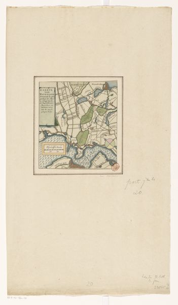
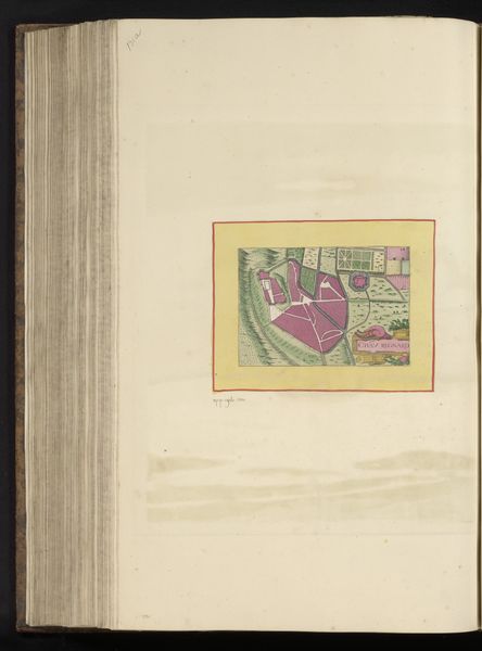
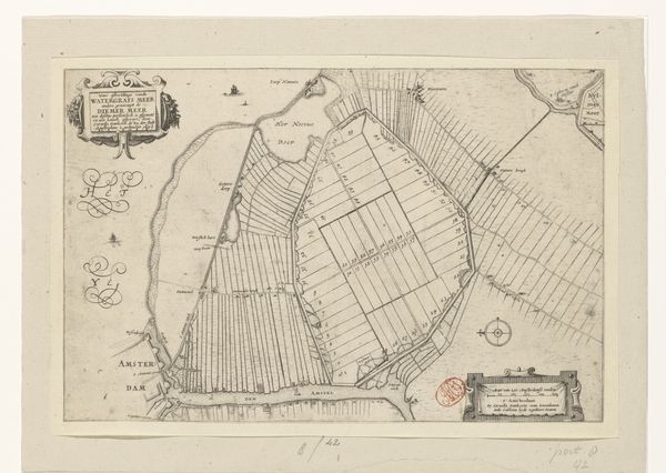
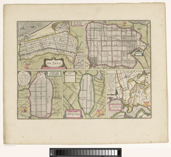
print, engraving
#
dutch-golden-age
#
ink paper printed
# print
#
geometric
#
cityscape
#
engraving
Dimensions: height 167 mm, width 147 mm
Copyright: Rijks Museum: Open Domain
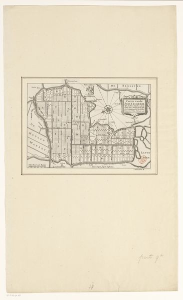
Pieter van der Keere’s Kaart van de Wormer is an engraving on paper. Here the typically functional medium of mapmaking takes on an aesthetic dimension. The process of engraving involves carefully incising lines into a metal plate, applying ink, and then pressing paper onto the plate to transfer the image. The fine lines and intricate details are a testament to the engraver’s skill. What's compelling here is not just the accuracy of the representation, but the artistry involved in its production, because the social context of the work is crucial. This map wasn't just about geographic information; it was about land ownership, economic interests, and the control of resources. The very act of mapping was a way of claiming and managing territory. Van der Keere’s engraving challenges any distinction between craft and fine art, demonstrating how functional objects can also be works of aesthetic and cultural significance. The map is a reminder that art is always embedded in broader systems of labor, politics, and consumption.
Comments
No comments
Be the first to comment and join the conversation on the ultimate creative platform.
More like this