drawing, paper, watercolor
#
drawing
#
dutch-golden-age
#
landscape
#
paper
#
watercolor
#
coloured pencil
Dimensions: height 159 mm, width 203 mm
Copyright: Rijks Museum: Open Domain
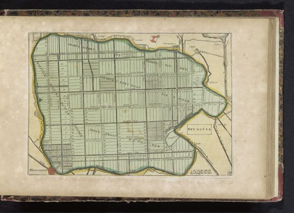
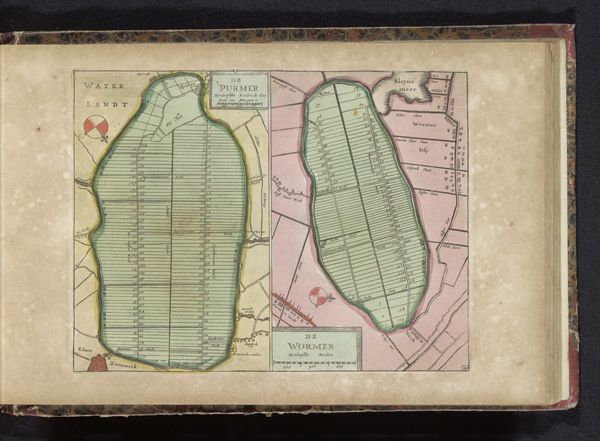
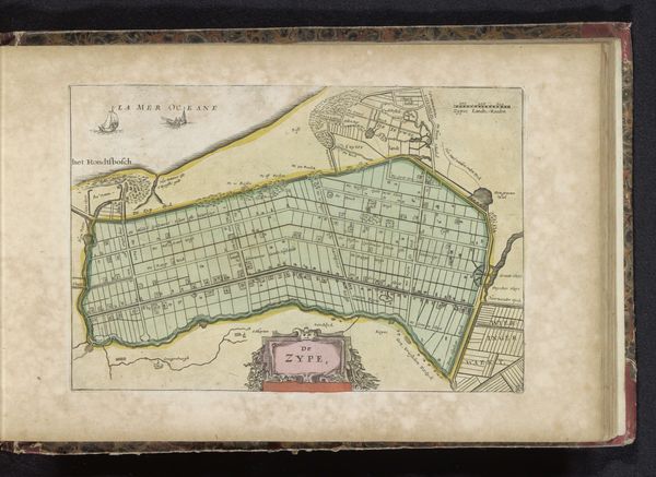
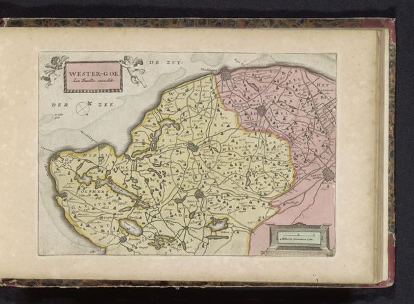
This is an anonymous map of the reclaimed Heerhugowaard, made with ink and paint in the Netherlands at an unknown date. The map offers a glimpse into the history of land reclamation and its impact on the environment and society. During the 17th century, the Dutch Republic saw the large-scale reclamation of land from bodies of water. This was an engineering marvel and a symbol of human intervention in nature. Yet, this endeavor was deeply entwined with issues of power and social class. The reclaimed lands were often distributed among wealthy merchants and landowners, reinforcing existing social hierarchies. The grid-like structure shows a reshaping of the natural landscape into an ordered and controlled space. The human impact on the environment evokes both admiration and reflection on its consequences. Consider the labor and resources that went into this transformation, as well as the potential displacement of communities and ecosystems.
Comments
No comments
Be the first to comment and join the conversation on the ultimate creative platform.
More like this