drawing, graphic-art, print, paper, watercolor, ink
#
drawing
#
graphic-art
#
dutch-golden-age
# print
#
landscape
#
paper
#
watercolor
#
ink
#
coloured pencil
#
cityscape
Dimensions: height 155 mm, width 228 mm
Copyright: Rijks Museum: Open Domain
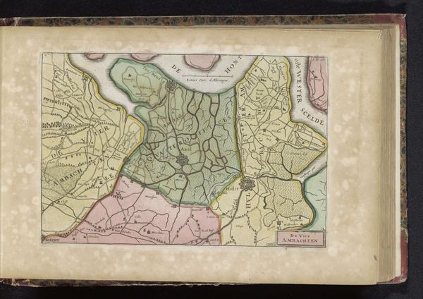
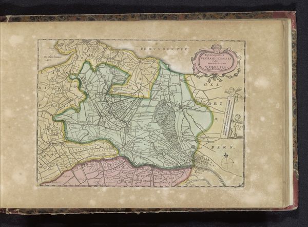
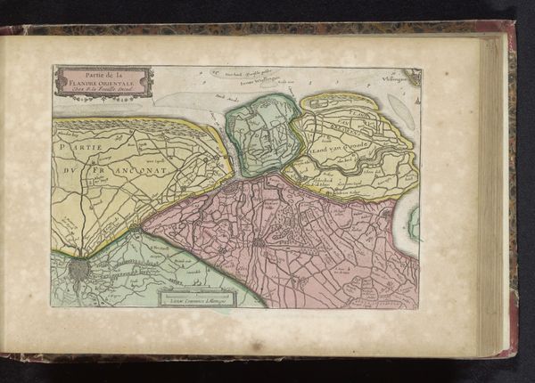
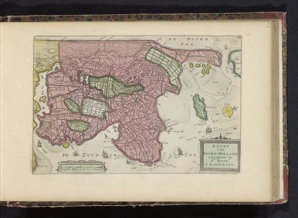
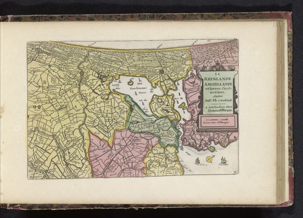
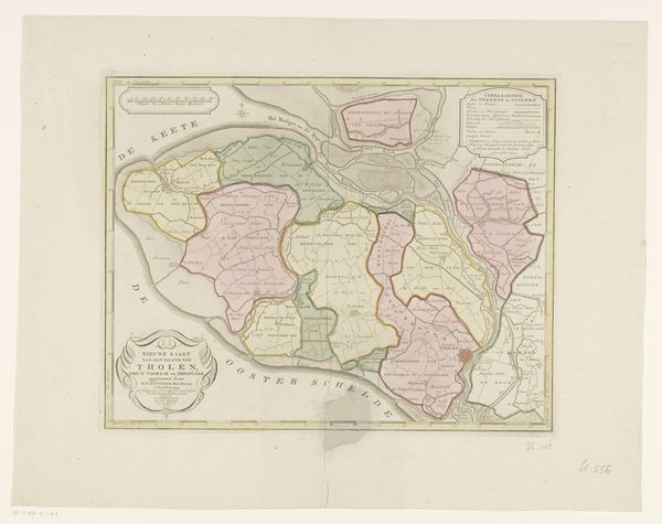
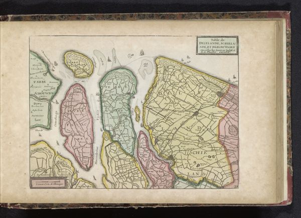
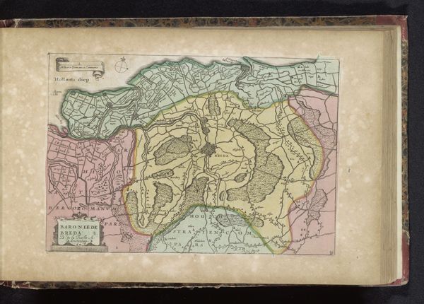
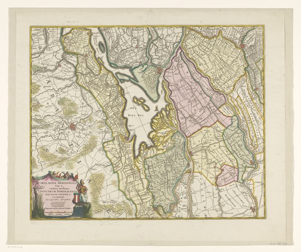
Curator: This is a map titled "Kaart van land rond de Biesbos," dating roughly from 1700 to 1735, made by an anonymous artist. It's a combination of drawing, graphic art, print, ink, and watercolor on paper, characteristic of the Dutch Golden Age's landscape art. Editor: Immediately, it’s so visually organized and pleasing. There's an order in those neat parcels and the colored regions, like someone carefully tending to their own mental garden. It gives me a sense of, I don't know, rational control over the world? Curator: Well, that's very much the point. During the Dutch Golden Age, cartography was exploding, tied to colonial expansion and the need to govern overseas possessions. This map visualizes ownership and power—land as a commodity, almost. Editor: Power. I see it, but more in the promise. Like the blank spots aren't empty but pregnant with potential, ripe for invention. And the soft watercolor palette… it lacks the assertiveness, doesn’t it? A gentle suggestion of control rather than a demand. Curator: Precisely. The detailed rendering shows an understanding of local waterways, towns. Maps weren't simply about aesthetics; they served as administrative tools to manage resources and exert influence. But these maps also boosted local and national pride and encouraged commercial investment in what was once swampland. Editor: Interesting! Like propaganda hidden within pretty lines and soothing colors. And seeing it now, encased within the confines of what appears to be a book... a treasure trove for quiet, deliberate study. You know, the colors have a particular vibrancy even now, perhaps indicating an ideal as much as reality? Curator: The Dutch Golden Age had complex ties to the world and land depicted on it. It makes one reflect upon both beauty and exploitation inherent in how we shape and imagine landscape through art. Editor: Absolutely. A landscape rendered both to command and caress, it seems. That is something to reflect upon!
Comments
No comments
Be the first to comment and join the conversation on the ultimate creative platform.
More like this