drawing, print, etching, paper, ink
#
drawing
#
narrative-art
#
dutch-golden-age
# print
#
etching
#
landscape
#
perspective
#
paper
#
ink
#
geometric
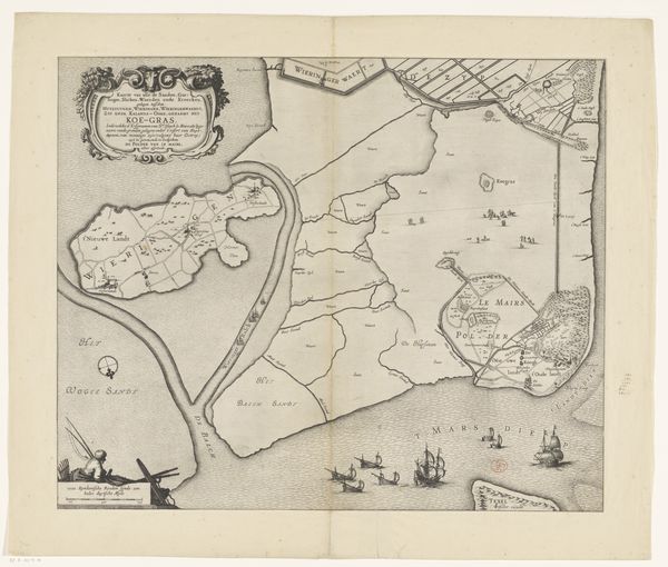
Dimensions: height 477 mm, width 709 mm
Copyright: Rijks Museum: Open Domain
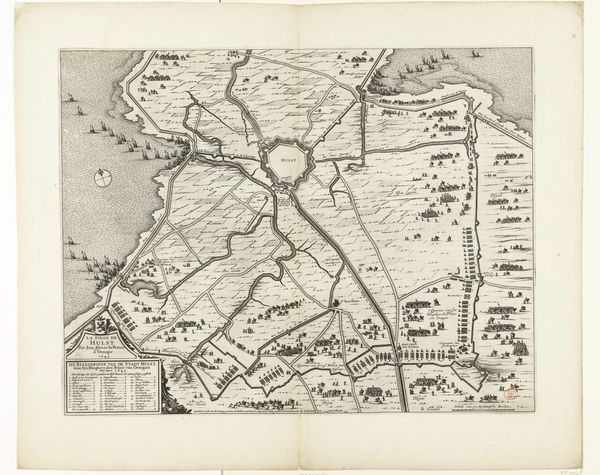
Daniël van Breen made this map in 1641, proposing a scheme for the complete drainage of the Haarlemmermeer in the Netherlands. The map offers us a window into the ambitions and social structures of the Dutch Golden Age, when the Netherlands was at the forefront of hydraulic engineering, driven by economic and political needs. Land reclamation projects like this one were not just about geography; they were about power, wealth, and control. The Beemster Polder, for example, provided fertile land for agriculture, stimulating economic growth and enabling the Dutch Republic to sustain its burgeoning population and commercial empire. This map thus offers a snapshot of the Dutch Republic's commitment to technological progress, driven by its culture of mercantilism and its institutions such as the States General and the Dutch East India Company. To understand this map fully, historians rely on archival records, engineering reports, and economic data. This allows us to comprehend the complex motivations and consequences behind such ambitious undertakings.
Comments
No comments
Be the first to comment and join the conversation on the ultimate creative platform.
More like this