painting, print, paper, watercolor
#
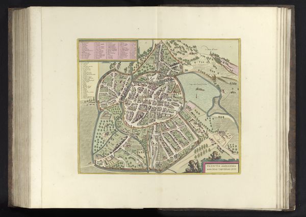
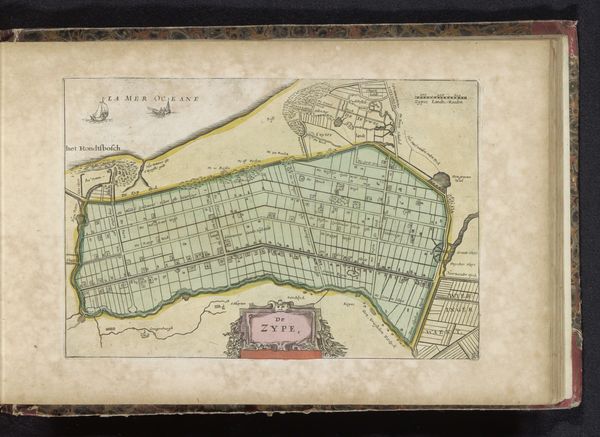
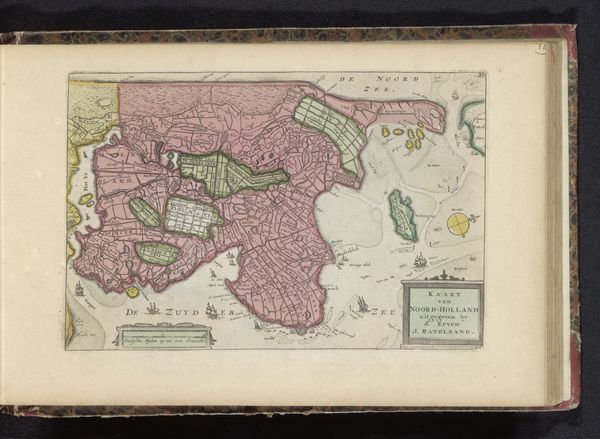
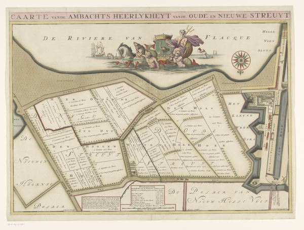
dutch-golden-age
#
painting
# print
#
landscape
#
paper
#
watercolor
#
coloured pencil
Dimensions: height 168 mm, width 225 mm
Copyright: Rijks Museum: Open Domain
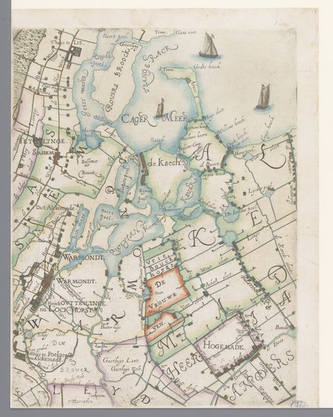
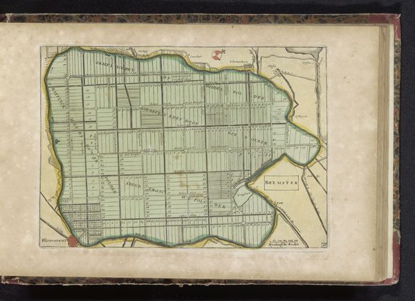
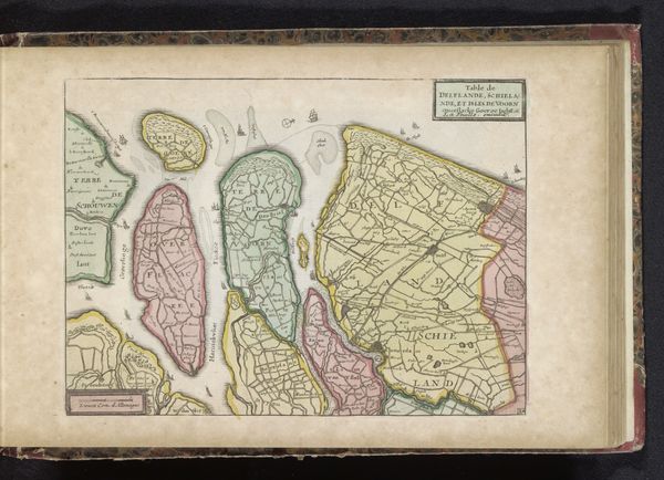
Curator: What strikes me is the overall delicacy of the lines in this set of maps dating from 1700 to 1735, detailing polders in Waterland and Watergraafsmeer. Look at the way the artist uses watercolour on paper to capture these regions! Editor: It feels so orderly, doesn't it? Almost... regimented. The pale greens and pinks give it a soft, almost ethereal quality, but the straight lines and divisions feel very purposeful. I wonder about the lives lived within those carefully plotted spaces. Curator: Indeed, it's important to understand the context here. The Dutch Golden Age was a time of intense land reclamation and these maps would have been crucial tools for managing and developing these territories. They represent both an understanding of, and an attempt to control nature. Editor: Control, yes, that's it! There's an undeniable sense of wanting to tame something wild. But there’s also beauty, don't you think? The watercolour bleeds and softens those hard lines just enough to let the imagination wander. Curator: The beauty is, in part, intentional. Mapmaking in this era wasn't purely functional. Maps were also statements of civic pride and economic power. Their presentation, the lettering, even the colours chosen, were all part of projecting an image of prosperity and stability. Think of them as infographics, but with added artistry. Editor: Like little framed real estate brochures? Only far more elegant. All this reclaimed land. So orderly. Still, a question arises: Did all that ordering of nature ultimately allow for freedom, or was freedom sacrificed to its design? Curator: That's a complex question, of course, but one well worth considering. It highlights the constant push and pull between individual autonomy and collective organization in Dutch history. The relationship is still relevant today. Editor: Definitely. It gives me a new perspective when I look at maps. They're not just neutral guides. They are charged with politics, ambition, and even, dare I say, poetry! Curator: Absolutely. Seeing these antique renderings as objects reflecting this history changes the perspective for me too, providing context that enables appreciation on both aesthetic and intellectual planes.
Comments
No comments
Be the first to comment and join the conversation on the ultimate creative platform.
More like this