print, watercolor
#
dutch-golden-age
# print
#
landscape
#
watercolor
#
coloured pencil
#
geometric
Dimensions: height 165 mm, width 226 mm
Copyright: Rijks Museum: Open Domain
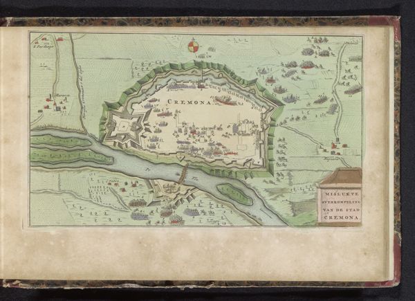
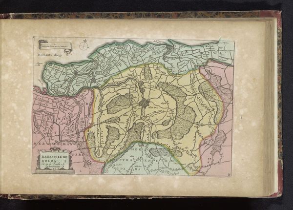
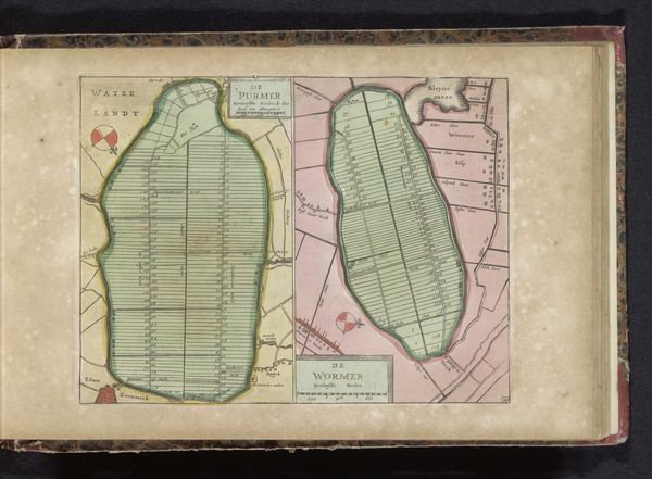
Editor: So this is "Kaart van de inpolderde Bijlmermeer," made sometime between 1700 and 1735, and it looks like a watercolor print of a polder in the Netherlands. I'm struck by how geometric it is, almost like an abstract painting. What do you see in this piece? Curator: Immediately, the formal arrangement suggests control and order—the sharp lines and careful divisions of the land speak to a desire to impose human will on nature. But look closer; these geometric shapes become fields, ripe with cultural memory. Do you recognize any recurring symbolic forms within this landscape? Editor: Well, there are some markings in the individual fields, and I noticed some small drawings on the edge of the polder itself... they seem almost decorative? Curator: Those "decorations" are vital clues! The cartouche, for instance—the ornamented emblem—it's a symbolic claim of ownership and authority. Notice the compass rose—that archetypal symbol of exploration, navigation, and charting not just physical space, but the human potential to know and master the world. These are visual declarations. It reflects a moment in Dutch history when land reclamation was a potent symbol of national identity and prosperity. Editor: So, beyond just a map, it's also conveying status, authority and even national pride? Curator: Precisely! Consider, also, the power embedded in maps themselves. They define territories, delineate ownership, and even influence perception. How does it make you think about current maps, now? Editor: It definitely makes me think more critically about maps and landscapes - the stories they tell about power, control and how cultures try to leave their mark. Thanks! Curator: A map isn't merely representational - it is a symbolic mirror to society's values and aspirations. Examining it more closely shows a cultural memory materialized for our eyes.
Comments
No comments
Be the first to comment and join the conversation on the ultimate creative platform.
More like this