print, paper, engraving
#
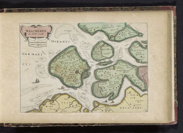
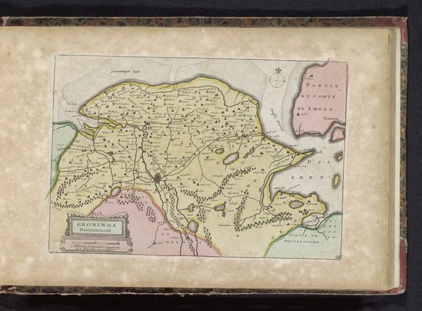
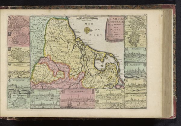
dutch-golden-age
# print
#
landscape
#
paper
#
coloured pencil
#
cityscape
#
engraving
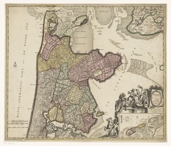
Dimensions: height 156 mm, width 235 mm
Copyright: Rijks Museum: Open Domain
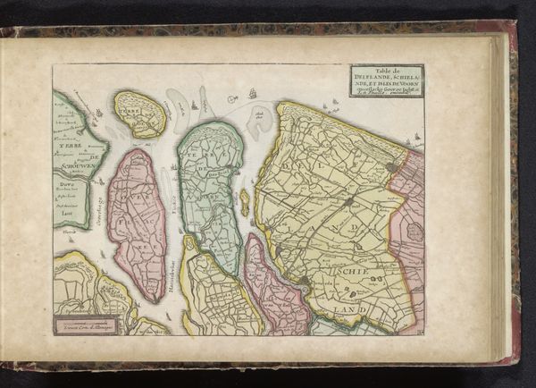
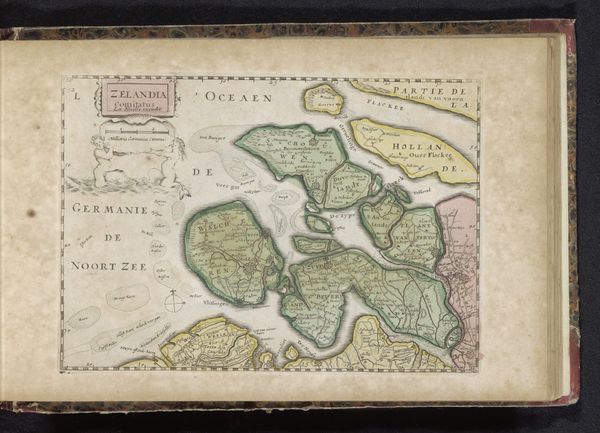
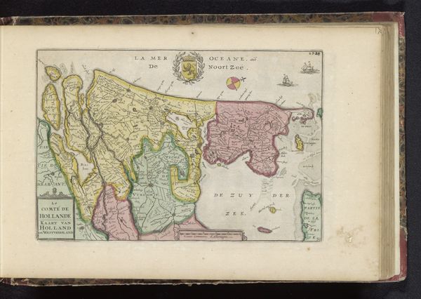
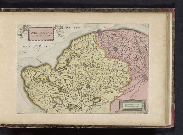
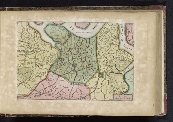
This is an anonymous map of Noord-Holland printed at an unknown date. Notice how the structure of the map, through its use of line and color, presents a very specific organization of space. The composition divides the territory into distinct areas, coded by color. Landmasses are typically rendered in shades of pink, green, and yellow. This formal choice immediately establishes a hierarchy, visually categorizing the different parts of the region. The lines, precise and controlled, demarcate not just geographical boundaries, but also create a sense of order and control. The map uses formal elements to signify ownership, jurisdiction, and knowledge. But a map is never a neutral representation of space. Here the structural organization serves a semiotic function: the visual coding of the territory reflects the social, political, and economic interests of its makers and users. The map is not merely a tool for navigation, but an assertion of power, an attempt to fix meaning and to create specific cultural values about space and representation. The very act of mapping is thus an act of meaning-making, imposing a particular order onto the world.
Comments
No comments
Be the first to comment and join the conversation on the ultimate creative platform.
More like this