drawing, coloured-pencil, print, intaglio, paper
#
drawing
#
coloured-pencil
#
dutch-golden-age
# print
#
intaglio
#
landscape
#
paper
#
coloured pencil
#
geometric
#
history-painting
#
regionalism
Dimensions: height 161 mm, width 228 mm
Copyright: Rijks Museum: Open Domain
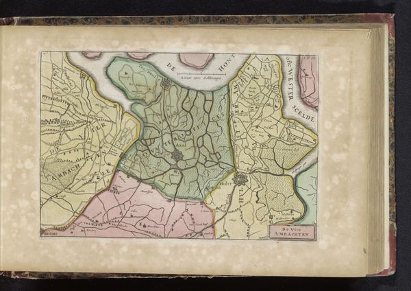
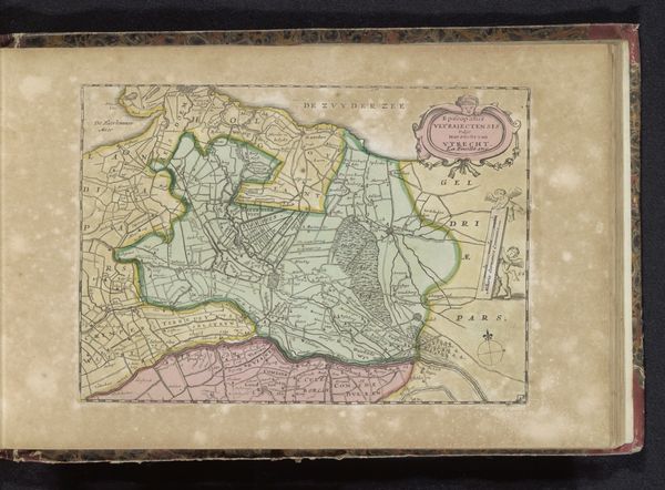
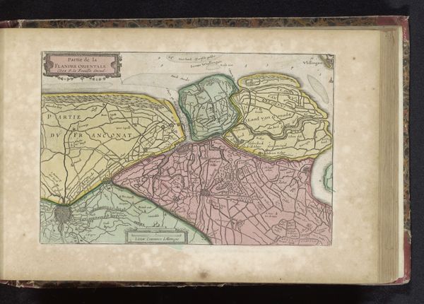
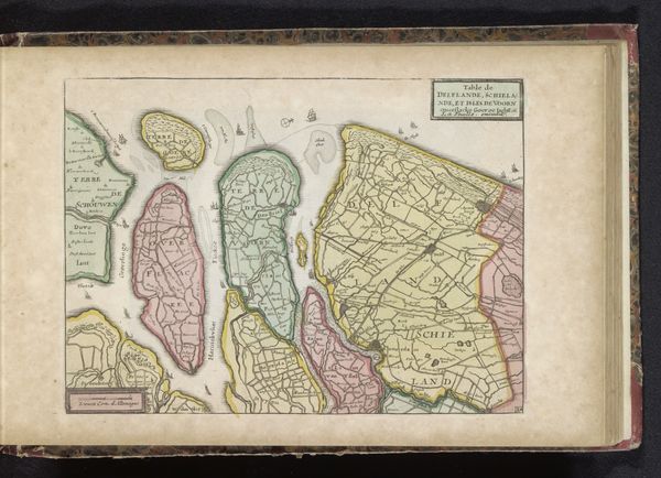
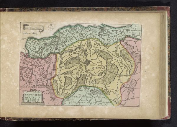
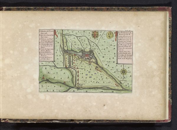
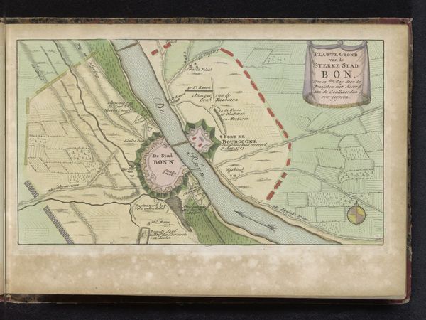
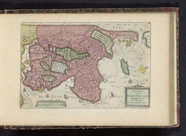
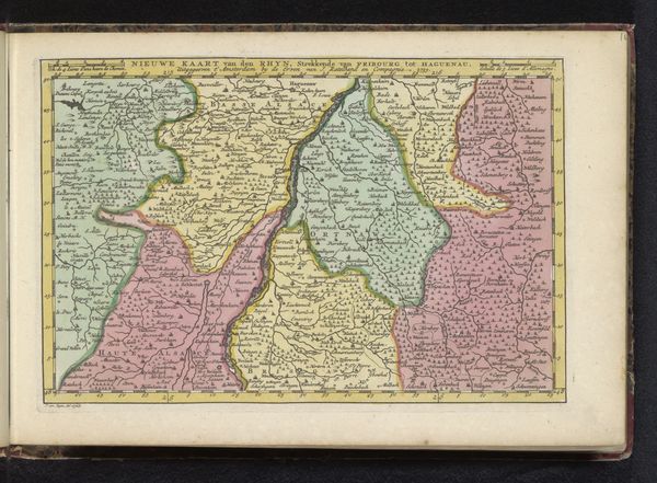
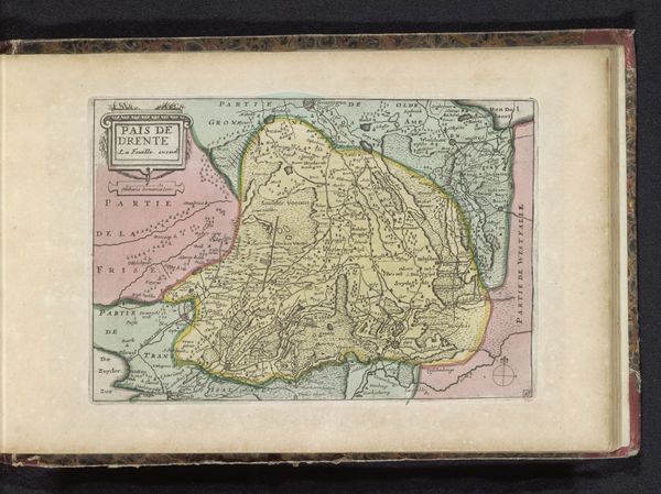
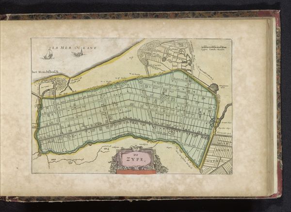
This hand-colored map of the Markiezaat van Bergen op Zoom gives us insight into the political and economic landscape of the Low Countries. It highlights the importance of cartography in the early modern period as an instrument of power and control, reflecting the economic interests of the ruling elite and their desire to chart and claim territory. Maps like this weren't just neutral depictions of space, they were tools used to solidify social hierarchies. The map’s visual codes, cultural references, and historical associations point to the complex interplay between geography, politics, and commerce. Its creation reflects the growing importance of trade. The institutional history of mapmaking, supported by the state and wealthy merchants, underlines the public role of art in serving the interests of the powerful. Understanding the social conditions that shaped the production of this map requires delving into archives, historical records, and other primary source materials to better understand the economic, social, and political context in which it was created.
Comments
No comments
Be the first to comment and join the conversation on the ultimate creative platform.
More like this