print, watercolor, engraving
#
baroque
# print
#
landscape
#
watercolor
#
coloured pencil
#
engraving
#
watercolor
Dimensions: height 161 mm, width 223 mm
Copyright: Rijks Museum: Open Domain
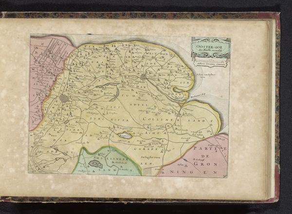
This old map of Rijnland-Palts, by an anonymous author, presents a fascinating array of heraldic symbols and territorial markers. Note the coat of arms in the upper left, an emblem of power that goes back to ancient emblems of kinship, bearing witness to the region's dynastic claims. These symbols, like all others, are not fixed. The crowned shield, a motif found across centuries and cultures, initially spoke of military might and protection, now it denotes sovereignty. This symbol echoes in ancient Roman imperial iconography, the crown as a signifier of divine approval, down to its adoption by secular rulers throughout the Middle Ages and Renaissance. Consider how a seemingly static emblem embodies shifting political tides and the enduring human need to locate ourselves within systems of power. It is a perfect example of how cultural memory works: we imbue images with psychological and emotional resonance. This coat of arms is far more than mere geography; it is a condensed narrative of shifting rule. These territorial markers are a testament to our innate drive to map, claim, and remember.
Comments
No comments
Be the first to comment and join the conversation on the ultimate creative platform.
More like this