drawing, print, etching, paper, engraving
#
drawing
# print
#
etching
#
landscape
#
paper
#
coloured pencil
#
cityscape
#
engraving
Dimensions: height 157 mm, width 224 mm
Copyright: Rijks Museum: Open Domain
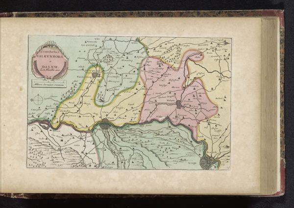
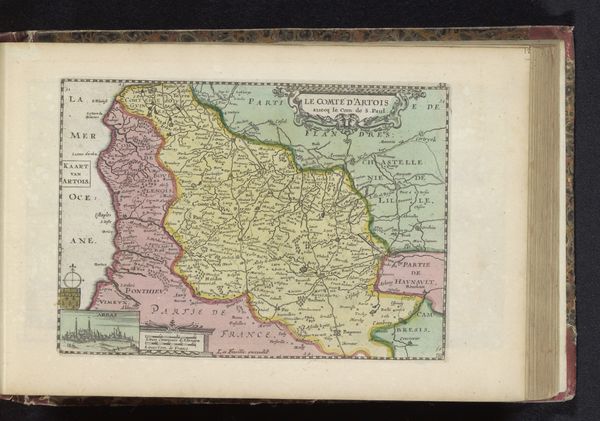
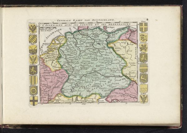
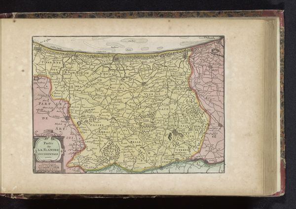
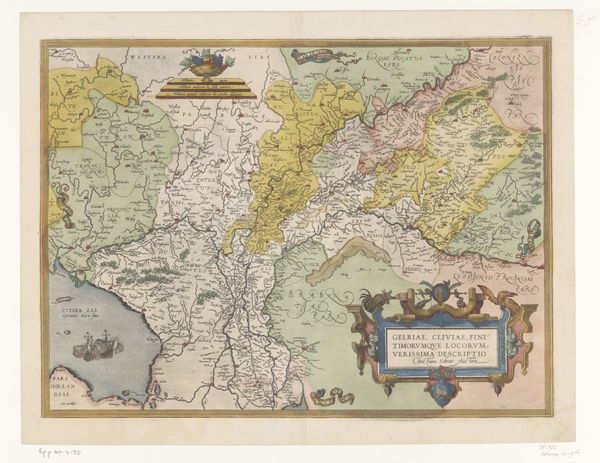
Curator: At first glance, it resembles a quilt of earthy pastels, doesn't it? Editor: Yes, the muted colors give it an aged, almost dreamlike quality. Before us is an early 18th-century map, sometime between 1700 and 1735, titled "Kaart van hertogdom Gelre," or "Map of the Duchy of Guelders" to us English speakers. This engaging work is crafted as a print, employing etching and engraving on paper, by an unknown cartographer. Curator: Look at how neatly and deliberately the space has been organized and how boundaries were presented with color variations. What a visual strategy for marking contested ground! Maps like this, however technically proficient, always speak of power. Editor: Precisely. Map-making was a vital political tool, a way of declaring ownership and defining territories, especially in a region with a complex history like the Duchy of Guelders. The symbols… miniature cities, crests... each carries the weight of authority and aspiration. The scale reinforces the symbolic function over any utilitarian geographic need. Curator: Beyond politics, there's a cultural dimension. Those pictorial elements – cherubic figures with shields, intricate cartouches, ships upon the Zuider Zee – tap into shared cultural narratives. Editor: I agree, these charming additions provide a visual language, situating the Duchy not just geographically, but within a cultural framework. They are not neutral markers; they are designed to resonate with specific audiences, communicating ideals of governance and prosperity. Also consider who would view these things... presumably rulers and their consorts. Curator: Note, also, that the colors don’t seem strictly representational – are we meant to perceive differences not visible on the surface? There's a dialogue being suggested between the land, its inhabitants, and how we perceive both. Editor: Absolutely. Maps from this era can reveal just as much about their socio-political setting as about the landscape itself. They speak of how space was perceived and controlled, and the values that shaped its representation. Curator: The piece as a whole certainly demonstrates that the practice of cartography reflects not merely geographical awareness, but how power, culture, and symbolism intermingle. Editor: A visual record that gives form to a historical world view.
Comments
No comments
Be the first to comment and join the conversation on the ultimate creative platform.
More like this