drawing, paper, ink
#
drawing
#
landscape
#
perspective
#
paper
#
ink
#
coloured pencil
#
geometric
#
genre-painting
Dimensions: height 153 mm, width 235 mm
Copyright: Rijks Museum: Open Domain
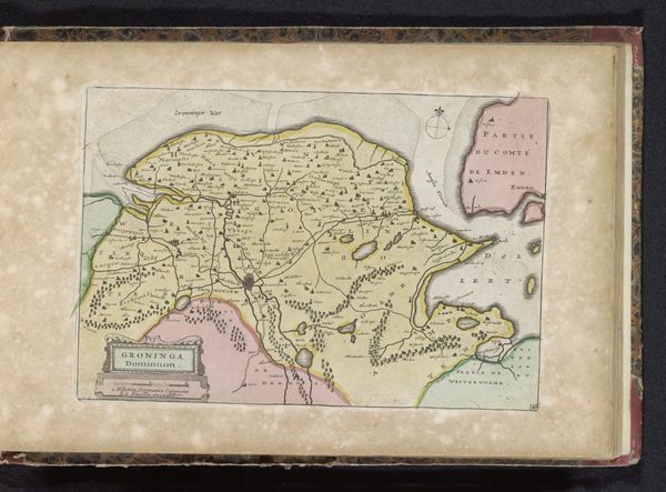
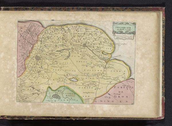
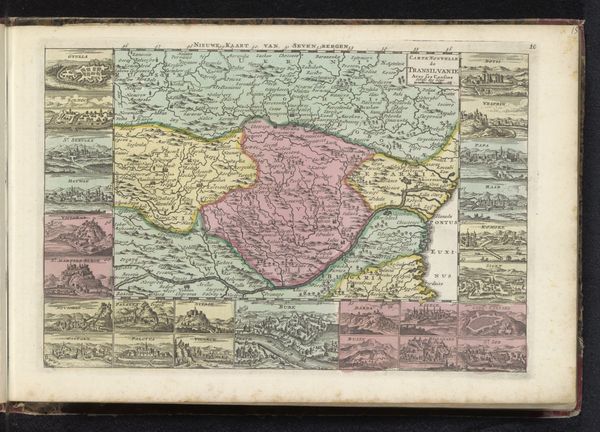
This map of Valkenburg en Dalhem was printed anonymously, using techniques of engraving and etching to create fine lines on a metal plate. Ink was then applied, and the image transferred to paper under high pressure. The coloring was likely done by hand, a labour-intensive process that adds both visual appeal and economic value. This reflects a moment when maps were not just informational, but also aesthetic objects, purchased and displayed by those with the means. The creation of maps like these involved a complex interplay of labor, from the surveyors who gathered the data, to the engravers, printers, and colorists who produced the final product. Each stage required specialized skills, often passed down through generations of artisans. Thinking about the map in terms of its making, it is more than just a representation of space; it is a product of specific social and economic conditions, reflecting the values and priorities of its time.
Comments
No comments
Be the first to comment and join the conversation on the ultimate creative platform.
More like this