print, engraving
# print
#
landscape
#
coloured pencil
#
geometric
#
sketchbook drawing
#
decorative-art
#
engraving
Dimensions: height 159 mm, width 221 mm
Copyright: Rijks Museum: Open Domain
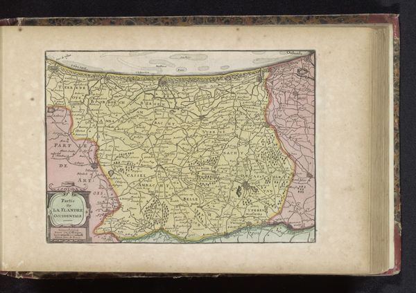
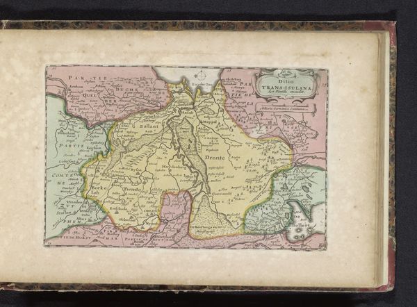
This map of Artois, rendered by an anonymous hand, presents us with a symbolic landscape. The compass rose, a familiar motif, marks not just direction, but also mankind’s orientation in the world. The image is reminiscent of earlier cosmological diagrams, like those charting the heavens. Maps were not simply tools for navigation; they mirrored a deeper, psychological need to understand and control the world around us. The act of mapping, of naming and delineating territories, is a potent symbol of asserting dominance and imposing order upon the chaos of the unknown. The emotional weight we invest in such symbols—borders, names, and representations of power—continues to shape our perceptions and actions. It appears in new guises, constantly evolving, yet still rooted in our collective memory.
Comments
No comments
Be the first to comment and join the conversation on the ultimate creative platform.
More like this