print, engraving
#
dutch-golden-age
# print
#
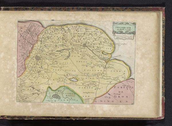
landscape
#
geometric
#
engraving
Dimensions: height 184 mm, width 260 mm
Copyright: Rijks Museum: Open Domain
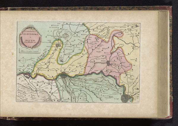
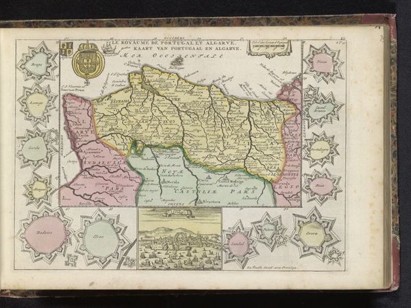
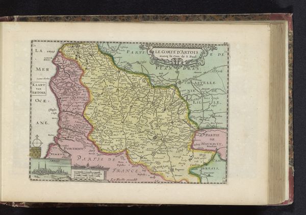
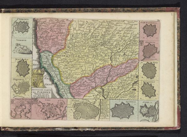
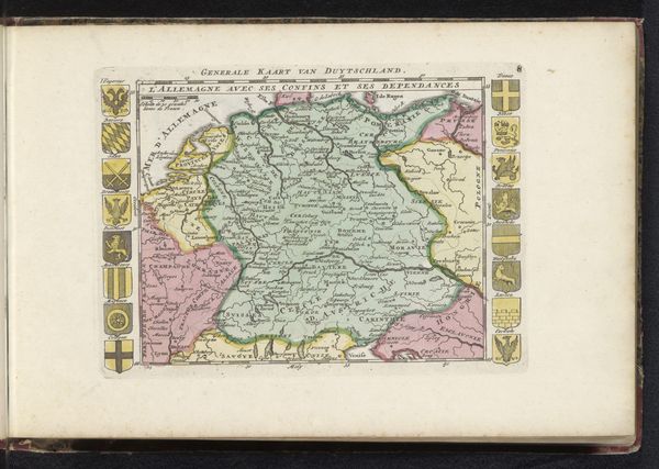
Curator: This engaging engraving, titled "Kaart van Vlaanderen," meaning "Map of Flanders," dates roughly from 1700 to 1735 and is the work of an anonymous Dutch artist. It offers a detailed visual representation of the region. What’s your immediate reaction to its layout? Editor: A sense of order, almost mathematical in its precision. The pastel colors give the landscape a delicate, fragile feel, at odds with what I imagine was a fiercely contested region. There’s also an intriguing use of supplementary map icons framing the central cartography, reminiscent of medieval manuscript illumination. Curator: Indeed! Those town plans aren’t just decorative; they are small strategic maps demonstrating the fortified nature of key cities within Flanders during a volatile period in European history. They signify not just place but also power, particularly the capacity for defense and control. Editor: So, these city-state illustrations also act as graphic symbols? Each with different shapes and defense structures, and presented on the outside like medallions around the bigger map! What do the symbols signify to the people of that time? What story were the artist hoping to portray? Curator: Precisely. Consider that during this time, Flanders was caught between major European powers: France, the Dutch Republic, and the Habsburg Empire. This map served multiple purposes; beyond geographical, it underscores the region’s political complexities. The strategic value is in its illustration of the cities as points of leverage and control for these competing empires. Editor: It is the details then, that provide its historical essence. From a compositional standpoint, the map balances objective topographical details with almost baroque flourishes; look at the way the settlements seem organized with great care, in relation to one another. The geometric shapes appeal and act to give insight on how these states connect! It is indeed quite the beautiful but calculated symbology. Curator: Exactly. Maps like these weren’t just navigational tools; they played a crucial role in shaping the perception and understanding of territory during an era of frequent conflict and shifting allegiances. Editor: Yes, what at first seems like a straightforward geographical document reveals itself to be rich with visual and historical depth. Thank you for helping uncover and bring to light its intricacies! Curator: The pleasure was mine. Hopefully, this look into Flanders inspires other listeners to delve deeper into maps as rich socio-political artifacts.
Comments
No comments
Be the first to comment and join the conversation on the ultimate creative platform.
More like this