drawing, print, engraving
drawing
landscape
geometric
engraving
watercolor
Dimensions: height 184 mm, width 261 mm
Copyright: Rijks Museum: Open Domain
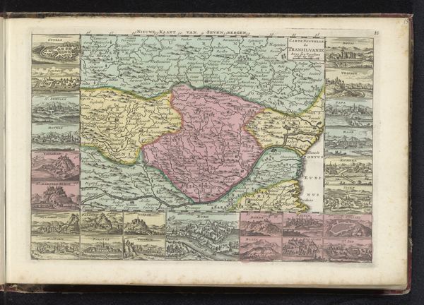
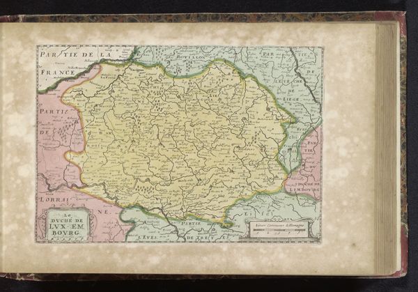
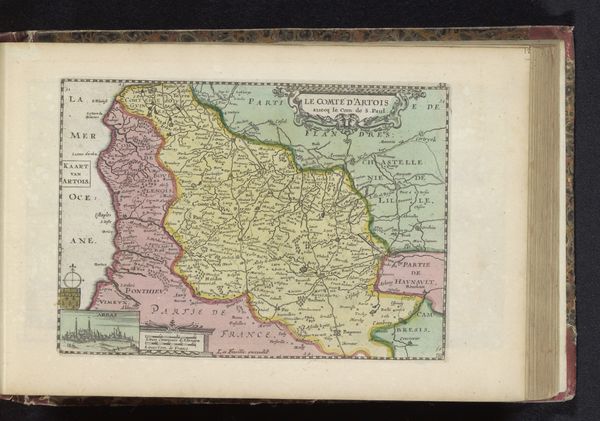
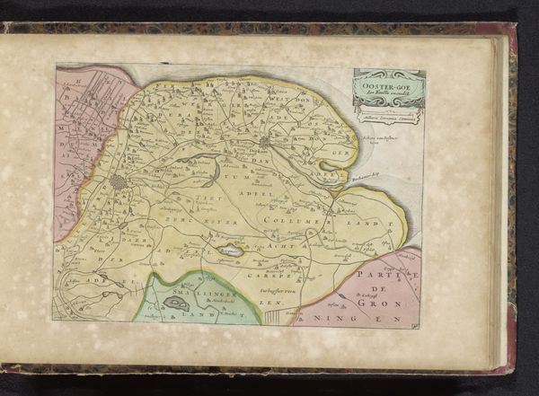
Curator: Here we have an intriguing hand-colored engraving titled "Kaart van Brabant," which roughly translates to "Map of Brabant." It dates from somewhere between 1700 and 1735. Editor: It gives off an air of antiquated power. You can feel the weight of states and boundaries, the subtle implication that control is carefully being surveyed here. I mean, look at those little fortifications rendered on the sides; it all seems rather calculated. Curator: Indeed. Consider the precision evident in the rendering of each town and topographical detail. The map utilizes an exquisite line engraving technique and is beautifully colored, distinguishing the political regions. Notice also the inset plans around the periphery, acting almost like vignettes. Editor: It's like each mini-cityscape reinforces the message that human organization trumps nature here. What do these neatly ordered urban renderings tell us about how power was visualized and wielded back then? It wasn’t just geography at stake but the lives of everyday people caught within the lines. I see subtle commentary here about colonization too, and class structure is inherent, you know. Curator: Precisely, this cartographic exercise isn't simply geographical; it's symbolic. The lines and colors delineate power structures but are also visually harmonious; look how the rose and yellow are complementary and provide legibility. We can see a fascinating dialogue between the aesthetic appeal and functional intent, too. This synthesis showcases sophisticated techniques and conveys specific data concisely. Editor: Exactly, data always serve certain functions for certain agendas. Maps never exist in a vacuum; their politics are as complex and nuanced as their craftsmanship. Curator: Considering its formal qualities, one might appreciate this map both for its skillful production as a meticulous representational feat, don’t you think? Editor: Oh, absolutely. Its legacy lies beyond just geography. I consider the stories woven within and behind these meticulously rendered lines and forms.
Comments
No comments
Be the first to comment and join the conversation on the ultimate creative platform.