drawing, coloured-pencil, print, paper, ink, engraving
#
drawing
#
coloured-pencil
#
baroque
# print
#
landscape
#
paper
#
ink
#
coloured pencil
#
geometric
#
engraving
Dimensions: height 150 mm, width 208 mm
Copyright: Rijks Museum: Open Domain
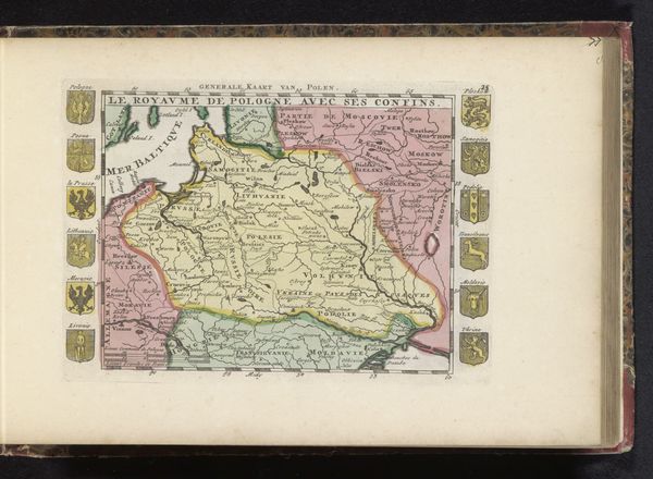
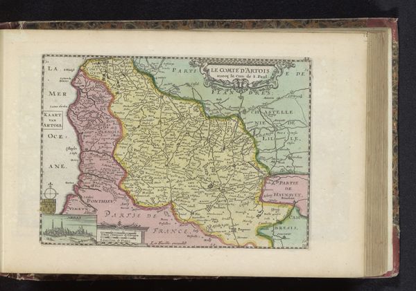
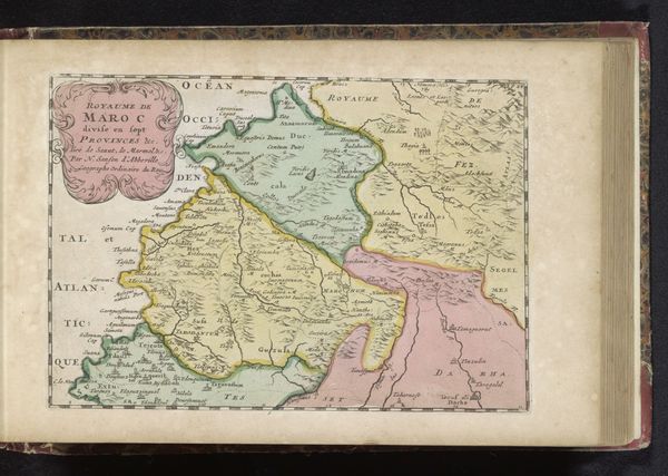
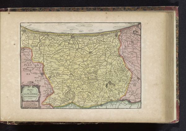
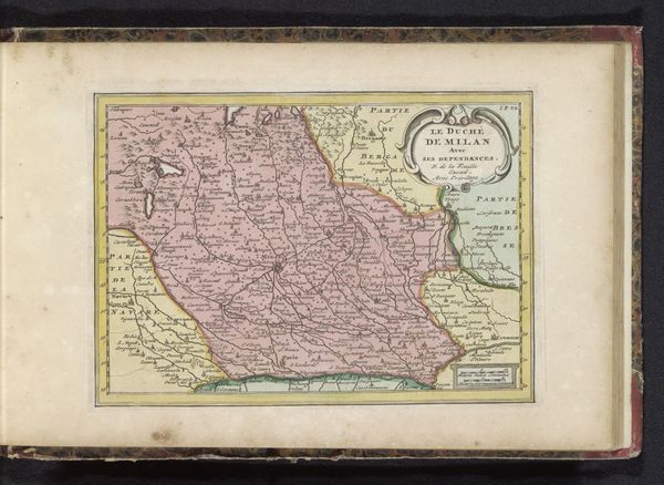
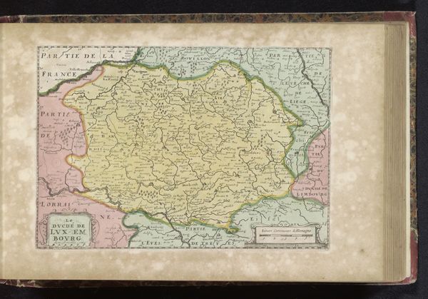
Editor: This is "Kaart van Duitsland," a map of Germany created sometime between 1700 and 1735 by an anonymous artist. It's a print with ink, engraving and colored pencil on paper. I’m struck by how decorative it is, almost like a heraldic tapestry. What story do you think this map is trying to tell? Curator: Oh, this isn't just about directions, is it? Maps, particularly from this era, are swirling with intention. The borders, daubed in gentle colors, aren't just geographical; they’re declarations of power, whisperings of ownership. Each coat of arms framing the land—those miniature stories—laying claim and lineage. What pops out at you beyond the geography? Editor: The sheer density of information. Place names crammed into every possible space, as if the artist were trying to capture every single village. Curator: Exactly! It’s about asserting a total knowledge, a complete possession, even a visual control over the space. It's baroque cartography: more is absolutely more. Almost makes you wonder if they knew these tiny villages existed or were making it up. It definitely sparks a little joyful rebellion in me. But do you notice any absence? Anything deliberately *not* shown? Editor: Hmm... I suppose there aren’t really any people. Just the symbols of power, not the people living in these places. Curator: Precisely! It’s a kingdom of heraldry and administration, rather than of human experience. Power stripped bare to its abstract form. Maps are fascinating for what they show us, of course, but they're often even more interesting for what they conveniently omit. Makes you rethink the power of the unseen, doesn’t it? Editor: Definitely. I never thought of a map as a statement as much as a tool, but I see it now! Curator: Wonderful! That little shift is precisely why we keep looking, isn’t it?
Comments
No comments
Be the first to comment and join the conversation on the ultimate creative platform.
More like this