drawing, print, etching, paper, ink, pencil
#
drawing
#
baroque
# print
#
etching
#
landscape
#
paper
#
ink
#
coloured pencil
#
geometric
#
pencil
#
cityscape
#
decorative-art
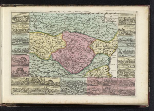
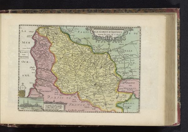
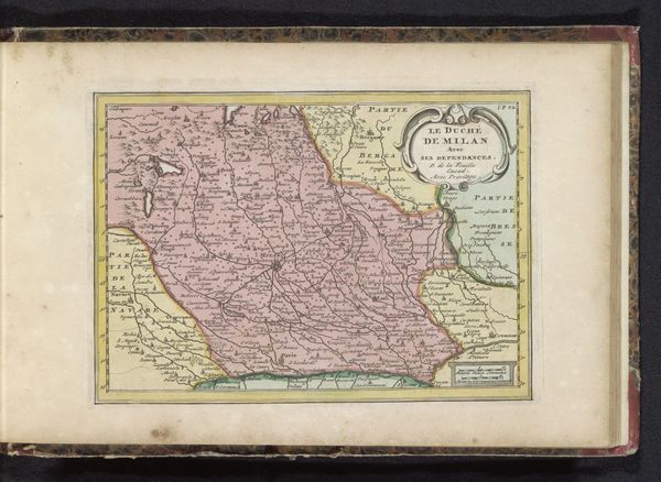
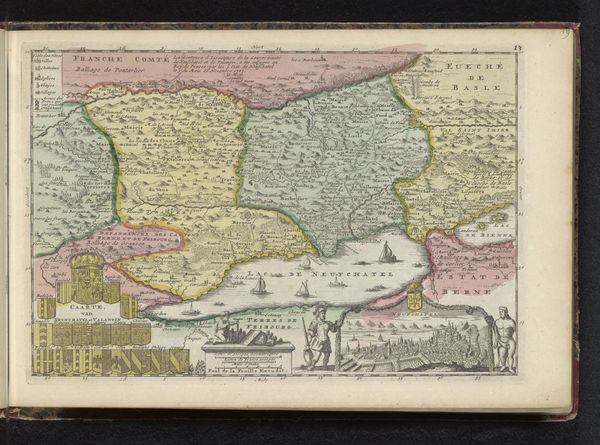
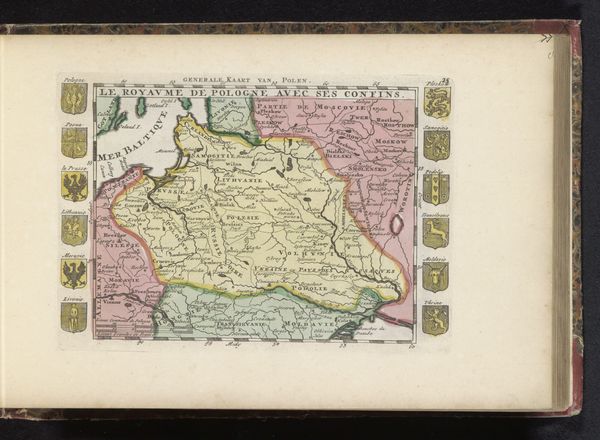
Dimensions: height 180 mm, width 263 mm
Copyright: Rijks Museum: Open Domain
This map of Hungary was made by an anonymous cartographer, using engraving and hand-applied color. The production of printed maps like this one was a labor-intensive process. First, the map would be meticulously engraved onto a metal plate, a skilled process requiring careful control of line weight and detail. Then, the plate would be inked, and paper pressed against it to transfer the image. Finally, artisans would add color by hand, bringing the map to life. This method meant maps could be produced in multiples, aiding trade, military strategy, and colonial expansion. Yet, the very act of fixing space onto a page has a political dimension. Whose perspective is represented here? Whose interests are served by this representation of territory? Looking at this map, consider the relationship between the artistry of its making, the political implications of its content, and the social context in which it was created. It is more than just a map; it's a record of power, knowledge, and human ingenuity.
Comments
No comments
Be the first to comment and join the conversation on the ultimate creative platform.
More like this