painting, print, watercolor
#
water colours
#
baroque
#
painting
# print
#
watercolor
#
coloured pencil
#
mixed media
Dimensions: height 160 mm, width 225 mm
Copyright: Rijks Museum: Open Domain
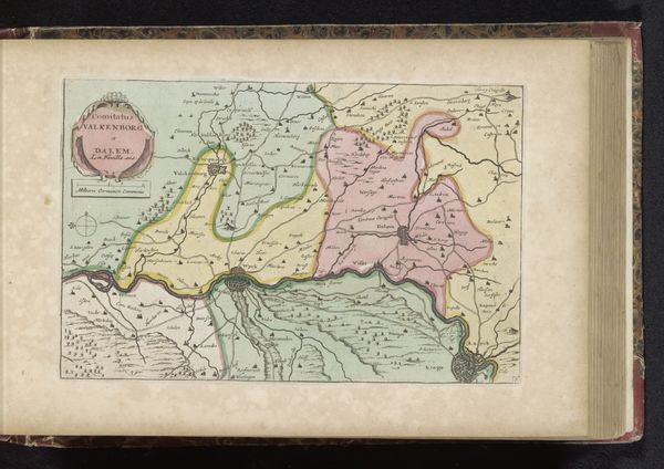
This map of the Duchy of Milan was printed with ink on paper by an anonymous artist. As a representation of territory, this image embodies how power is exerted through the control and administration of land. Visual codes such as borders, color and scale reflect an early modern European preoccupation with nation-building and the establishment of sovereign territories. This map served as a tool for governance, and its existence marks a moment when places like Milan became institutionalized as political and economic entities. The Duchy was a complex patchwork of local powers with a history of foreign domination, and the map may have acted as a means of consolidating power for external rulers like the Habsburgs. Further research into the mapmaker’s identity and the map’s patron might reveal the specific political context in which it was produced, which could allow for a deeper understanding of its cultural meaning and institutional function.
Comments
No comments
Be the first to comment and join the conversation on the ultimate creative platform.
More like this