print, paper, engraving
#
baroque
# print
#
landscape
#
paper
#
coloured pencil
#
orientalism
#
engraving
Dimensions: height 167 mm, width 241 mm
Copyright: Rijks Museum: Open Domain
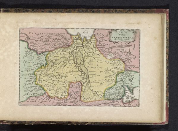
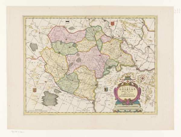
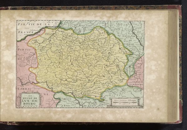
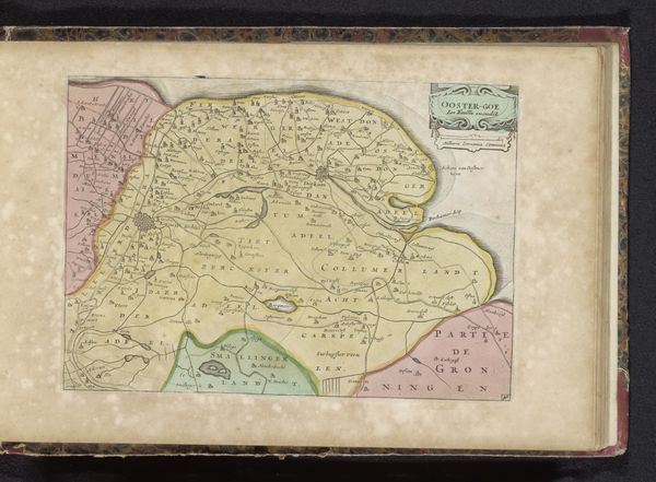
This map of Morocco, produced by an anonymous hand, presents us with a rich tapestry of symbolic geography. The very act of mapping—of delineating territory—speaks to a desire to impose order and understanding on the world. Notice how the land is divided into provinces, each carefully labeled. These divisions reflect not just physical boundaries, but also cultural and political ones, echoing the ancient Roman practice of dividing their empire. The ocean, labeled "Ocean Occidental," reminds us of the sea's duality as both a connector and a barrier, a motif that resurfaces throughout history, from the voyages of exploration to contemporary concerns about migration. Consider, too, the power of names inscribed upon the land, each carrying echoes of history, conquest, and cultural exchange. Like the ancient practice of naming stars, this bestows a sense of ownership and understanding, an attempt to tame the wild unknown through the act of naming. These symbols are powerful forces, engaging us on a deep, subconscious level, reminding us that even the most seemingly objective representations are laden with cultural and emotional weight.
Comments
No comments
Be the first to comment and join the conversation on the ultimate creative platform.
More like this