drawing, paper, watercolor, ink
#
drawing
#
water colours
#
landscape
#
paper
#
personal sketchbook
#
watercolor
#
ink
#
coloured pencil
#
geometric
#
academic-art
Dimensions: height 160 mm, width 231 mm
Copyright: Rijks Museum: Open Domain
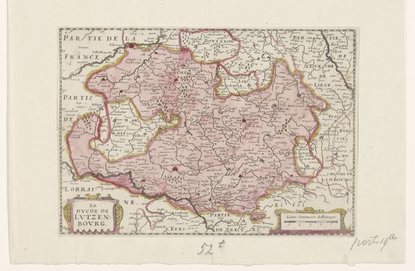
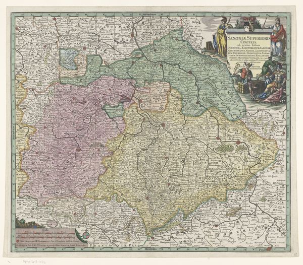
This map of Luxembourg was created by an anonymous artist. Maps are never neutral. They are cultural artifacts that reflect the values, beliefs, and power structures of the societies that produce them. The way this map presents Luxembourg in relation to its neighbours—France, Lorraine, Liège and Limbourg—is revealing. It emphasizes political boundaries, implicitly asserting claims of ownership and control. Produced at a time of shifting European alliances and dynastic ambitions, this map speaks to the competition between states and rulers. How does it portray Luxembourg? Is it shown as a unified territory, or as a region contested by external powers? To answer these questions, we can consult historical atlases, period documents, and scholarly analyses of early modern cartography. Understanding the social and institutional history behind such maps allows us to appreciate their roles as both tools for navigation and expressions of power.
Comments
No comments
Be the first to comment and join the conversation on the ultimate creative platform.
More like this