1635 - 1735
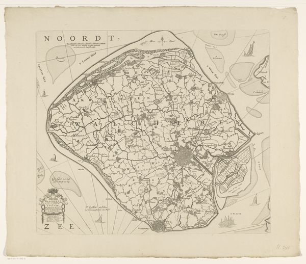
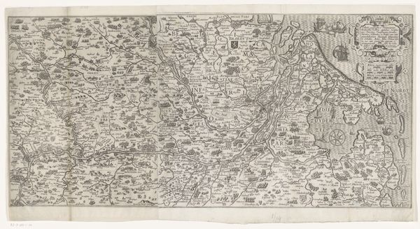
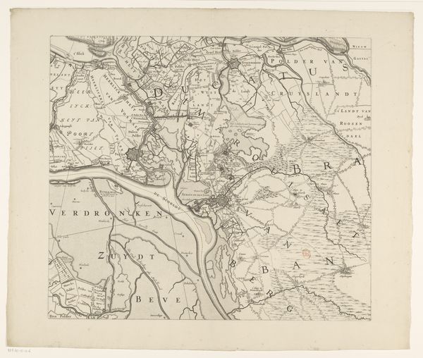
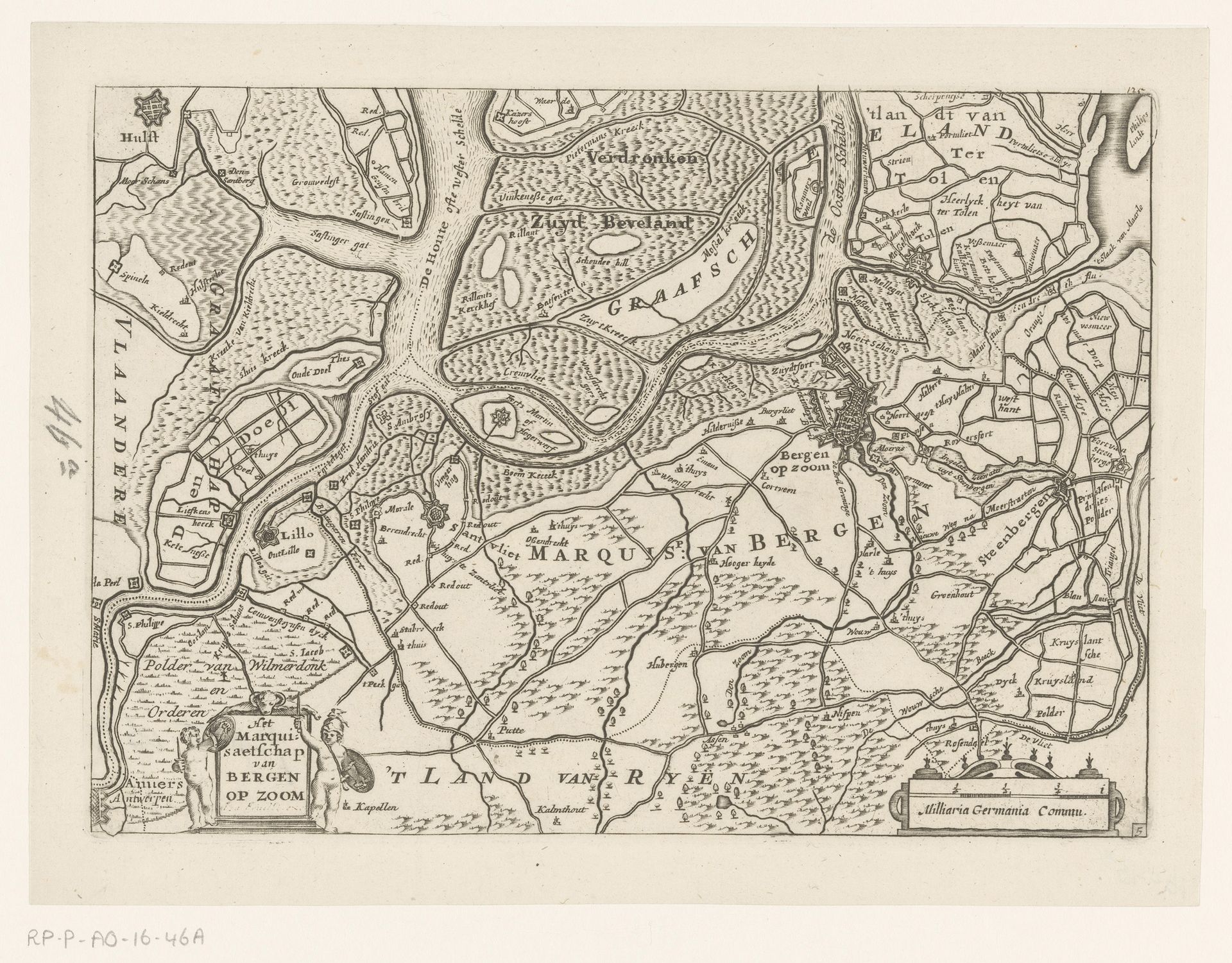
Kaart van het markiezaat Bergen op Zoom
Listen to curator's interpretation
Curatorial notes
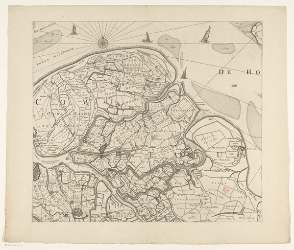
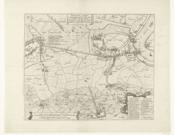
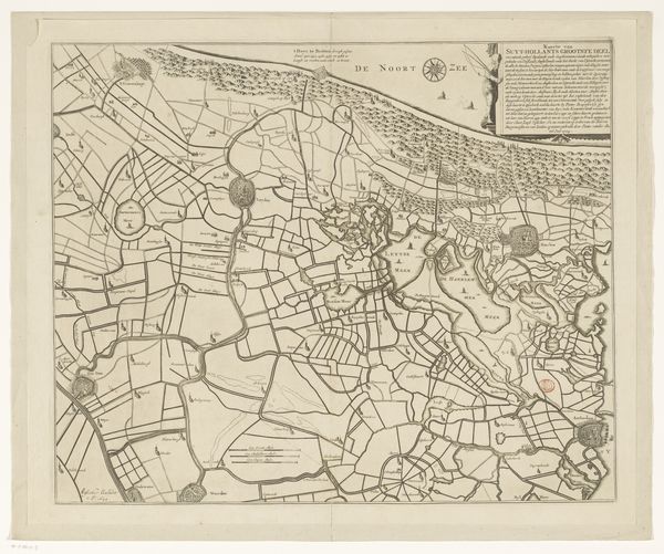
This "Kaart van het markiezaat Bergen op Zoom" is an undated map made anonymously, though likely printed as an engraving. The lines were incised into a metal plate, likely copper, then inked and printed on paper. Consider the labor involved in creating the map – the careful work of surveying the land, and then the translation of that information onto the printing plate. The rivers, forests, and settlements are depicted with meticulous detail, reflecting an intimate knowledge of the landscape. But beyond its aesthetic qualities, this map also speaks to broader social and political concerns. Maps like these were essential tools for trade, military strategy, and the assertion of territorial control. They represent a way of seeing and knowing the world, one that emphasizes order, rationality, and the power of human intervention. The very act of mapping is an assertion of authority, a way of claiming ownership over the land and its resources. So, when we look at this seemingly simple map, we're really seeing a complex interplay of materials, processes, and power relations.