print, engraving
dutch-golden-age
old engraving style
landscape
engraving
Dimensions: height 331 mm, width 405 mm
Copyright: Rijks Museum: Open Domain
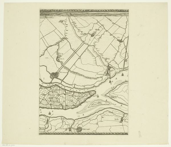
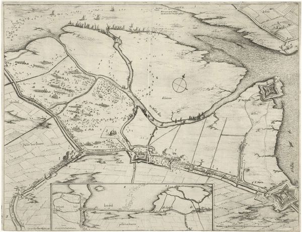
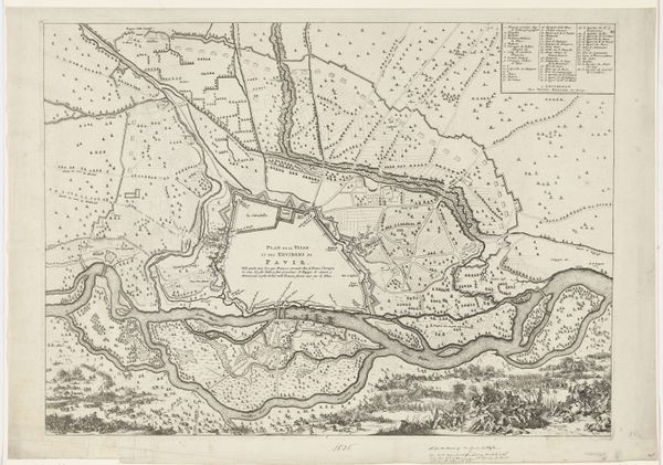
This is an anonymous map depicting the failed attack on Fort Kallo in 1638, rendered with ink on paper. Maps like this weren't just about geographical accuracy. They were tools of power, meticulously crafted to chart territories, plan military campaigns, and stake claims on land and resources. Look closely, and you’ll notice the incredible detail achieved with simple lines. It's a testament to the engraver’s skill, who had to translate complex information into a visual language. The texture of the paper itself adds another layer, a subtle reminder of the human effort involved in its production. Printing in the 17th century was a labor-intensive process, and required collaboration between skilled artisans and the investment of merchants. This map, with its precise lines and informative annotations, speaks volumes about the economic and social forces at play during this period of conflict. It bridges art, craft, and the social context of its creation.
Comments
No comments
Be the first to comment and join the conversation on the ultimate creative platform.