print, engraving
#
dutch-golden-age
# print
#
pen sketch
#
landscape
#
geometric
#
line
#
engraving
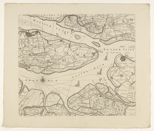
Dimensions: height 470 mm, width 539 mm
Copyright: Rijks Museum: Open Domain
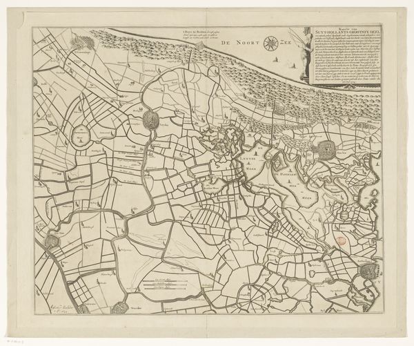
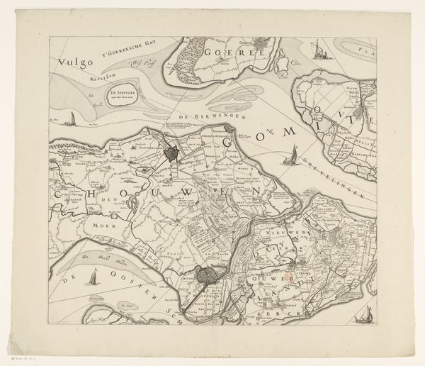
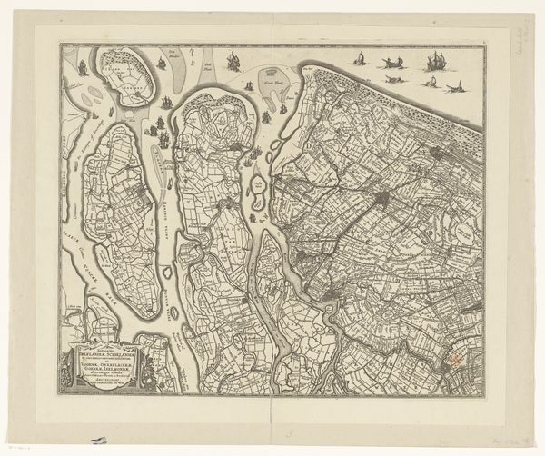
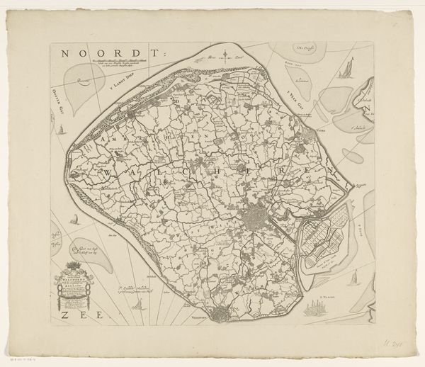
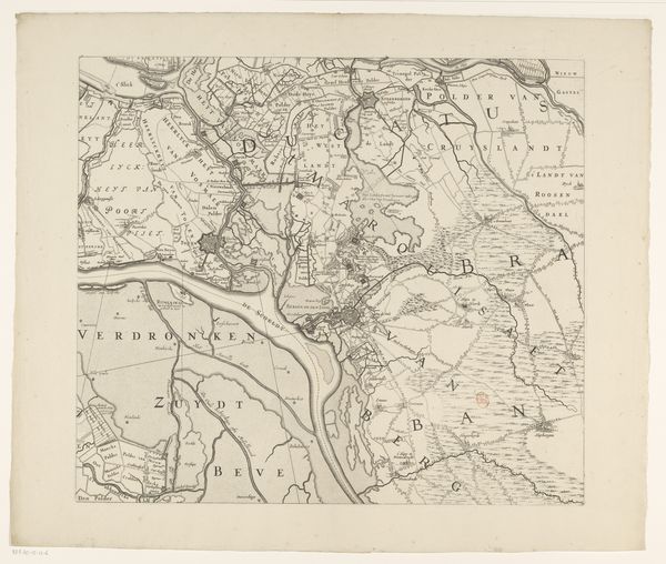
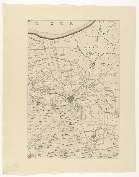
This map of Zeeland was meticulously etched onto paper by an anonymous artist. Look closely, and you will see a dense network of lines, forming the waterways and landmasses of the region. The material, paper, is of course essential here. It provided a stable and relatively inexpensive surface for the transfer of information. But the real marvel is the etching process itself. This would have involved coating a metal plate with wax, drawing the design with a sharp needle to expose the metal, and then immersing the plate in acid. The acid bites into the exposed lines, creating grooves that hold ink. When pressed onto paper, these grooves leave a precise, permanent record. Consider the skill and labour involved in creating this detailed representation, before the advent of photography. The map shows not just geography, but also a worldview, shaped by exploration, trade, and the desire to chart and control territory. It is a testament to human ingenuity and the power of craft to shape our understanding of the world.
Comments
No comments
Be the first to comment and join the conversation on the ultimate creative platform.
More like this