About this artwork
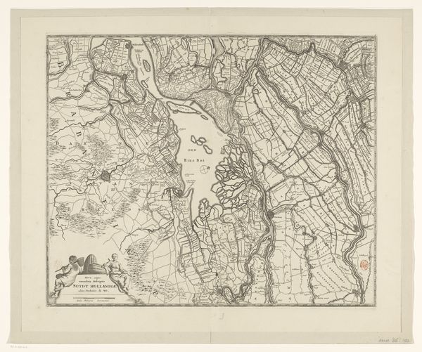
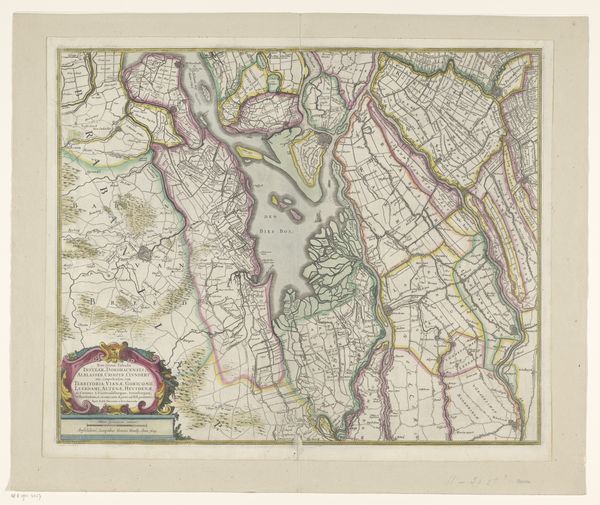
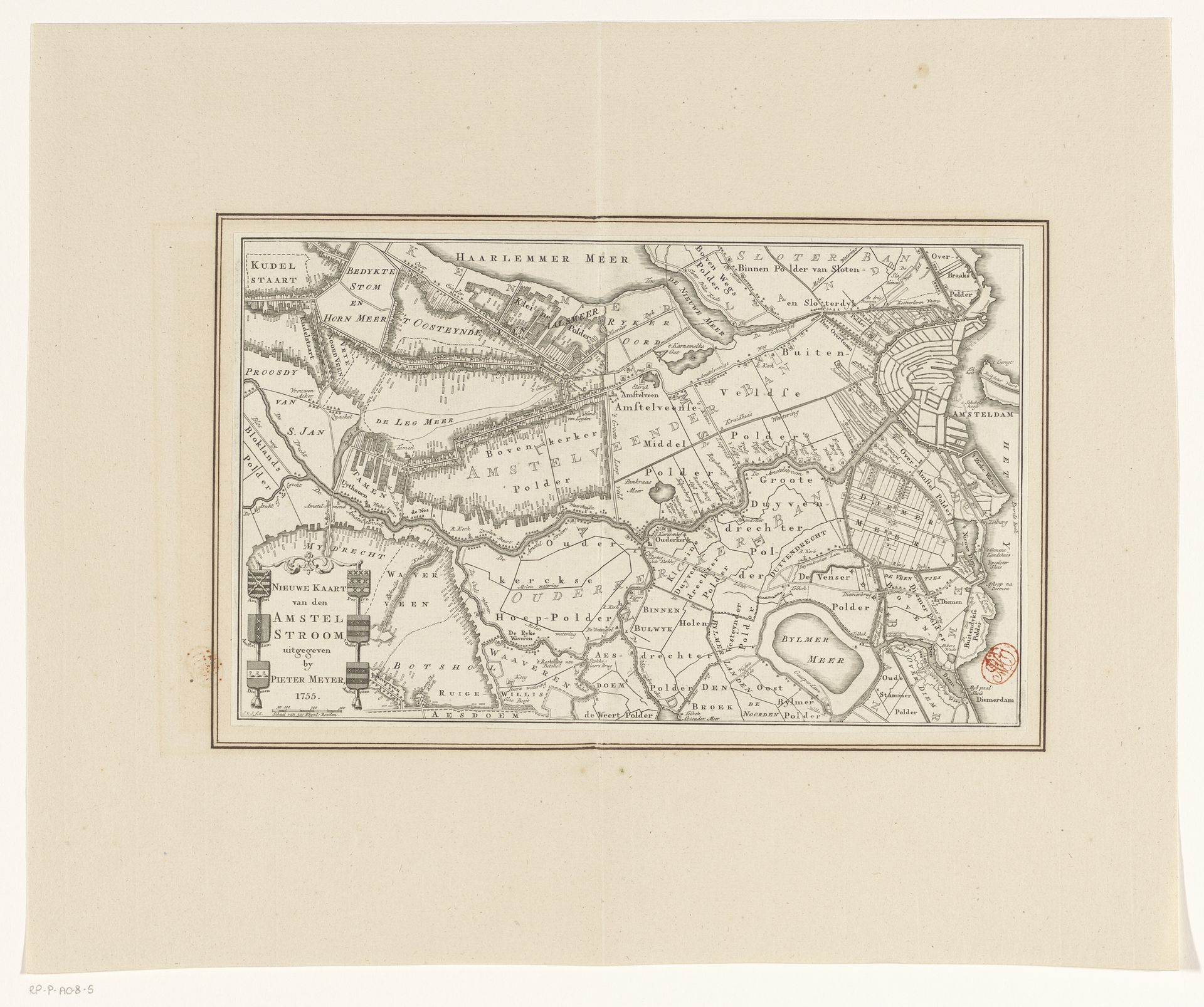
Editor: This etching from 1755, titled "Kaart van de Amstel en omliggende gebieden" – a map of the Amstel and surrounding areas – is attributed to J. v. J.. It's fascinating to see how much detail they managed to get into this relatively small print. What stands out to you about this particular rendering of the Amstel region? Curator: What interests me most is not simply what the map depicts, but the means of its production and what it signifies about the social context in which it was made. Etchings like these weren't just about geographical accuracy, but also about power and control. The very act of mapping, the surveying, the laborious process of etching and printing...all of it speaks to a desire to categorize, understand, and ultimately, control the territory represented. Consider the labor involved; who were the artisans who executed the fine lines and text? What was their social standing? Were they considered artists or simply skilled laborers? Editor: So, you're suggesting we think about the social hierarchy embedded within the production itself? It makes you wonder about the engraver's intentions beyond just replicating the landscape. Curator: Exactly. Maps of this era served various purposes - from land ownership to military strategy, so considering the materials and labour becomes crucial. Think about the copper plate itself, its origin, its cost – all material considerations that influenced the final product and its distribution. How does the choice of etching, a process allowing for relatively mass production, shape our understanding of who the map was intended for? Editor: That’s a really insightful point. I hadn’t considered how the medium itself would indicate the audience and broader purpose of the work. It highlights the tangible and physical dimension of knowledge itself! Curator: Precisely. And by examining the materials and the process, we gain insight into the cultural and economic values of the time. Editor: Thanks so much. I definitely learned a new approach for thinking about this piece.
Artwork details
- Medium
- print, etching
- Dimensions
- height 193 mm, width 310 mm
- Copyright
- Rijks Museum: Open Domain
Tags
dutch-golden-age
etching
old engraving style
landscape
river
etching
geometric
cityscape
realism
Comments
No comments
About this artwork
Editor: This etching from 1755, titled "Kaart van de Amstel en omliggende gebieden" – a map of the Amstel and surrounding areas – is attributed to J. v. J.. It's fascinating to see how much detail they managed to get into this relatively small print. What stands out to you about this particular rendering of the Amstel region? Curator: What interests me most is not simply what the map depicts, but the means of its production and what it signifies about the social context in which it was made. Etchings like these weren't just about geographical accuracy, but also about power and control. The very act of mapping, the surveying, the laborious process of etching and printing...all of it speaks to a desire to categorize, understand, and ultimately, control the territory represented. Consider the labor involved; who were the artisans who executed the fine lines and text? What was their social standing? Were they considered artists or simply skilled laborers? Editor: So, you're suggesting we think about the social hierarchy embedded within the production itself? It makes you wonder about the engraver's intentions beyond just replicating the landscape. Curator: Exactly. Maps of this era served various purposes - from land ownership to military strategy, so considering the materials and labour becomes crucial. Think about the copper plate itself, its origin, its cost – all material considerations that influenced the final product and its distribution. How does the choice of etching, a process allowing for relatively mass production, shape our understanding of who the map was intended for? Editor: That’s a really insightful point. I hadn’t considered how the medium itself would indicate the audience and broader purpose of the work. It highlights the tangible and physical dimension of knowledge itself! Curator: Precisely. And by examining the materials and the process, we gain insight into the cultural and economic values of the time. Editor: Thanks so much. I definitely learned a new approach for thinking about this piece.
Comments
No comments