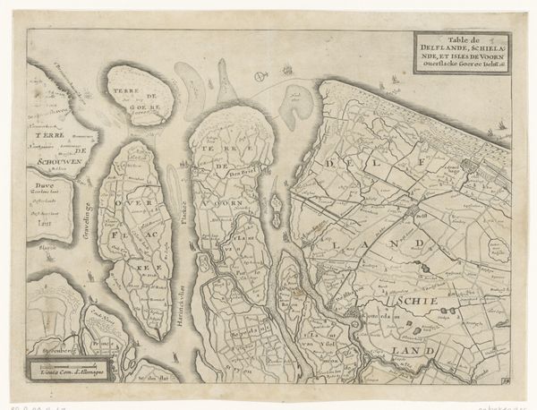
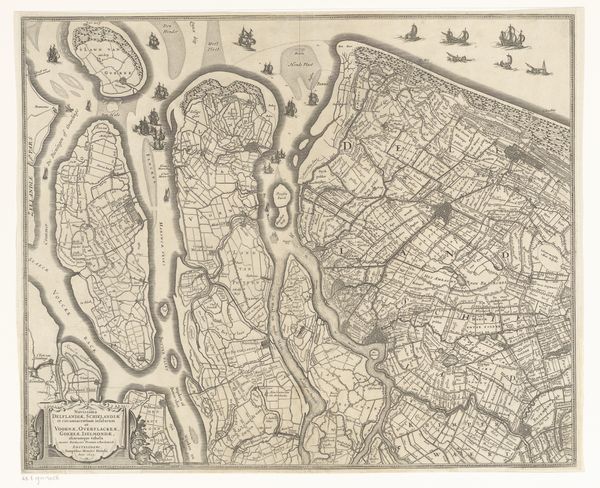
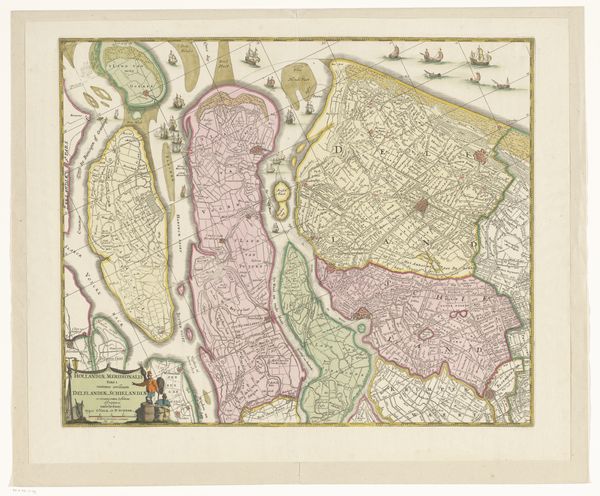
Kaart van Delfland, Schieland en de Zuid-Hollandse eilanden c. 1670 - 1690
0:00
0:00
anonymous
Rijksmuseum
print, engraving
#
baroque
# print
#
old engraving style
#
landscape
#
geometric
#
cityscape
#
engraving
Dimensions: height 455 mm, width 543 mm
Copyright: Rijks Museum: Open Domain
This is an anonymous map of Delfland, Schieland, and the South Holland Islands, made with pen in brown and black ink. The map is dominated by waterways and land meticulously divided into plots, evoking a sense of order and control over nature. Ships sail the waters, symbols of commerce and exploration. Maps, like religious icons, embody a culture's aspirations and worldview. Consider how cartography echoes the divine act of creation, imposing structure onto the chaos of the unknown. The need to map the world reflects humanity's drive to understand and control its environment. This desire resonates with the ancient myths of gods shaping the cosmos. As the world expands and societies evolve, the symbolic language of maps adapts, reflecting our ever-changing relationship with space and power. The emotional investment and psychological projection in maps echo the function of other cultural symbols and artifacts across history.
Comments
No comments
Be the first to comment and join the conversation on the ultimate creative platform.
More like this