drawing, paper, ink, engraving
#
drawing
#
aged paper
#
toned paper
#
baroque
#
pen sketch
#
old engraving style
#
paper
#
personal sketchbook
#
ink
#
ink drawing experimentation
#
pen-ink sketch
#
pen work
#
sketchbook drawing
#
sketchbook art
#
engraving
Dimensions: height 202 mm, width 268 mm
Copyright: Rijks Museum: Open Domain
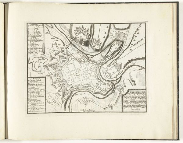
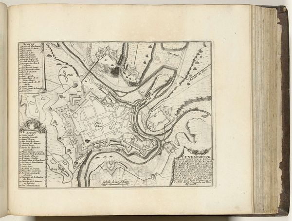
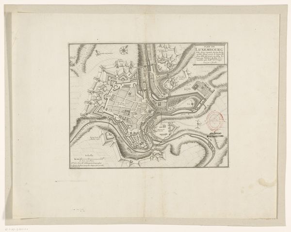
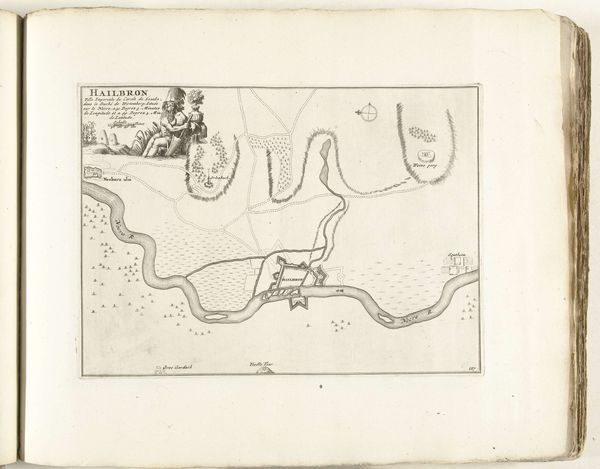
Curator: Here we have an anonymous engraving, "Plattegrond van Luxemburg, ca. 1702," a plan of the city dating from the early 18th century, held in the Rijksmuseum. Editor: My immediate reaction is that of intricate detail—it feels meticulously rendered. The dense network of lines creates a visually compelling, almost maze-like impression of the city. Curator: Indeed, the fineness of the lines speaks to the engraver's mastery, emphasizing a careful consideration of perspective and scale. Observe the consistent use of line weight to distinguish between architectural elements and the surrounding landscape, a clever approach to differentiate forms on a single plane. Editor: It is hard to disassociate this city plan from the history of siege warfare. Each fortified element, each star fort and defensive wall is rendered with precision, as though anticipating a military assault. One imagines that plans such as these held political significance, reflecting not only urban layout, but military strategy, too. Curator: Precisely. We can apply a semiotic lens to unpack that. Each line, each hatched area, functions as a signifier, communicating specific information about the city's defenses, while the map in its totality signifies Luxembourg's strategic importance during that tumultuous period. It operates on multiple levels—cartographic, aesthetic, and geopolitical. Editor: Right, and if we analyze the function of such city plans during that era, we must also factor in the social hierarchy present within its walls. The wealthy inhabitants safe in the core, those more vulnerable positioned just outside, and the peasant class on the periphery… a visual microcosm of the social and economic structure of Luxembourg, no? Curator: Certainly, though such interpretations rely on information absent from the work itself. Editor: I’d argue that our engagement with such a document would be incomplete without such vital contextualizing. What are lines, forms, and shapes separated from that world, after all? Curator: Fair enough. Regardless, examining "Plattegrond van Luxemburg, ca. 1702," offers invaluable insight into baroque engraving. Editor: Absolutely—it equally allows us to map not just a city's geography, but its complex social realities.
Comments
No comments
Be the first to comment and join the conversation on the ultimate creative platform.
More like this