drawing, print, ink, engraving
#
drawing
#
ink drawing
#
dutch-golden-age
# print
#
pen sketch
#
landscape
#
ink
#
geometric
#
engraving
Dimensions: height 466 mm, width 532 mm
Copyright: Rijks Museum: Open Domain
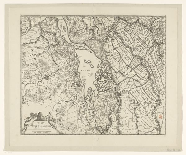
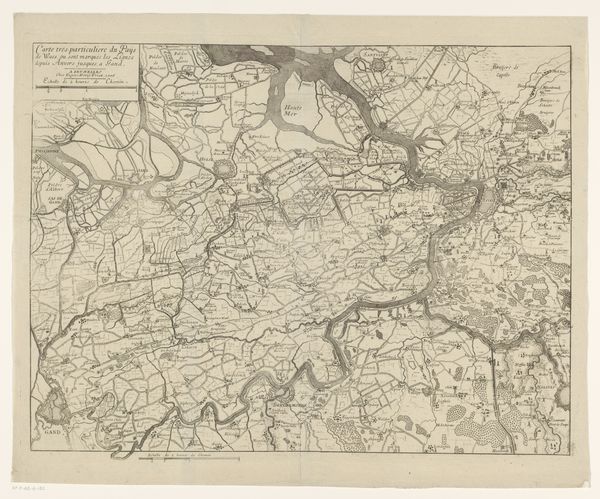
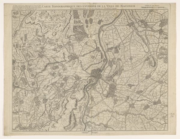
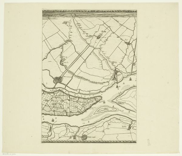
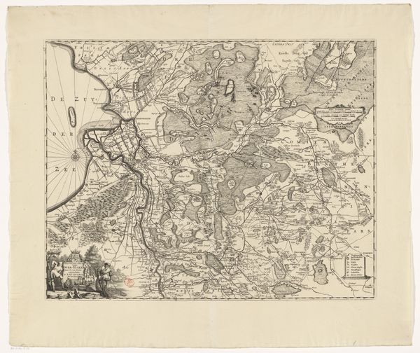
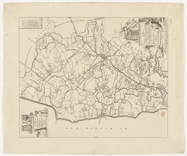
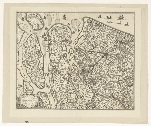
This is an anonymous map of Zeeland, part of a larger series, made using engraving. The detailed representation of geographical space in the Netherlands had real political implications, with the control of waterways being essential to Dutch power. Cartography like this played an important role in the history of Dutch power by establishing formal claims to territory. We can see how the mapmakers create meaning through the visual codes and cultural references within the image, drawing on the historical associations of place, water and land. The map also records the expansion of the province of Zeeland at the expense of the sea, with the names of the regions like 'Verdronken Zuyt Beve' being a reference to the floods that were so common in the region. To fully understand the social context of this map, it’s vital to consult archives, historical documents, and other maps of the period. Understanding the creation and usage of such maps allows us to better reflect on how geographical imagery is always contingent on the social and institutional context.
Comments
No comments
Be the first to comment and join the conversation on the ultimate creative platform.
More like this