drawing, print, paper, ink, engraving
#
drawing
# print
#
pen sketch
#
landscape
#
paper
#
ink
#
geometric
#
engraving
Dimensions: height 215 mm, width 391 mm
Copyright: Rijks Museum: Open Domain
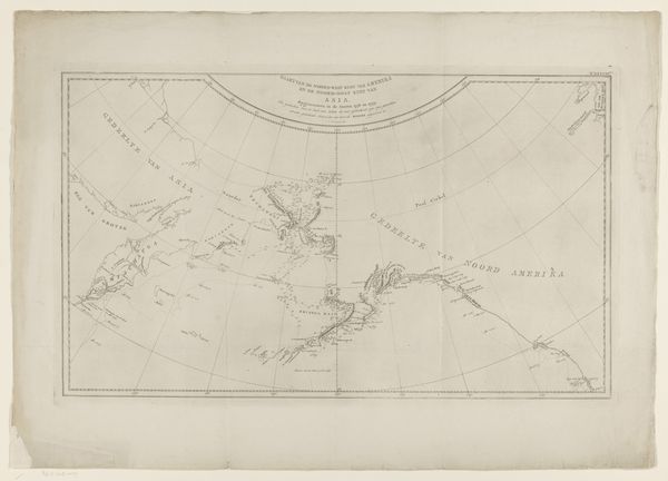
Editor: This is "Kaart van Resolution Bay en omliggende eilanden in Nieuw-Zeeland," a 1799 print and ink drawing on paper. It's quite striking how the artist used line and form to create a detailed map. What compositional elements stand out to you? Curator: Note the intricate lines and the calculated arrangements that structure the composition. This print presents us with an exemplary display of topographical precision. Observe how line weight varies to articulate depth. It creates a contrast between land and water. Editor: I see that, how the thickness of the lines almost implies a hierarchy of information. What about the emptiness around the drawing itself? Curator: The stark white space serves as a framing device. It accentuates the geometric rigor of the map itself. Consider how the positive and negative space interplay to direct the eye. The drawing adheres to cartographic principles. We can discern elements of geometric abstraction inherent to mapmaking. Editor: So, even a seemingly utilitarian object like a map can be viewed through an aesthetic lens? Curator: Precisely. Look at the delicate lines radiating from what appears to be a compass rose, situated above. It infuses the map with directional purpose and decorative flourish. Editor: I didn't consider how functional and ornamental aspects can merge. I’m realizing the potential for analysis is more extensive than I first assumed. Curator: Exactly. By isolating elements like line, form, and spatial relationships, one can unlock a richer understanding, and appreciate nuances in a form you previously looked over. Editor: Thank you. This formalist analysis of cartography encourages one to examine all works with an equal perspective of intention.
Comments
No comments
Be the first to comment and join the conversation on the ultimate creative platform.
More like this