drawing, print, paper, ink, engraving
#
drawing
# print
#
landscape
#
paper
#
ink
#
geometric
#
engraving
Dimensions: height 422 mm, width 505 mm
Copyright: Rijks Museum: Open Domain
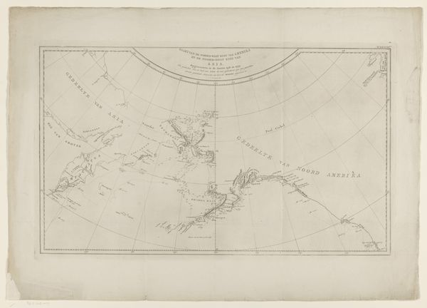
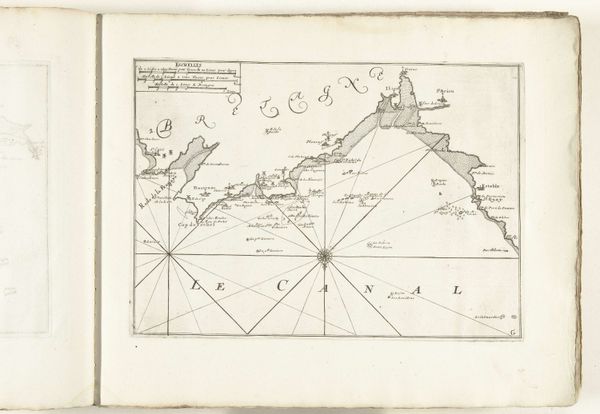
This map of the southernmost tip of South America was made around 1775 by Cornelis van Baarsel, using engraving on laid paper. Maps like this one had huge significance in the age of exploration. Their making was a complex process, first requiring careful observation, then the skilled hand of a draughtsman to compile information into a legible form, and finally the work of an engraver, incising the image into a copper plate. The plate would then be inked and printed onto paper, allowing for wide distribution. Consider the amount of labor involved in this process, and the value placed on accurate information during a time when maritime trade was booming. The map wasn't just a depiction of land; it was a tool of power, integral to trade routes, political claims, and military strategy. Looking at this map, we can appreciate the artistry, the labor, and the social context that shaped its creation. It challenges us to see beyond the image and understand the complex interplay of craft, commerce, and culture.
Comments
No comments
Be the first to comment and join the conversation on the ultimate creative platform.
More like this