About this artwork
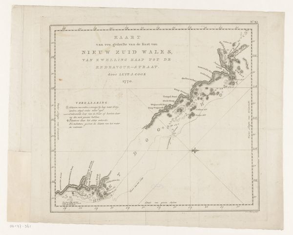
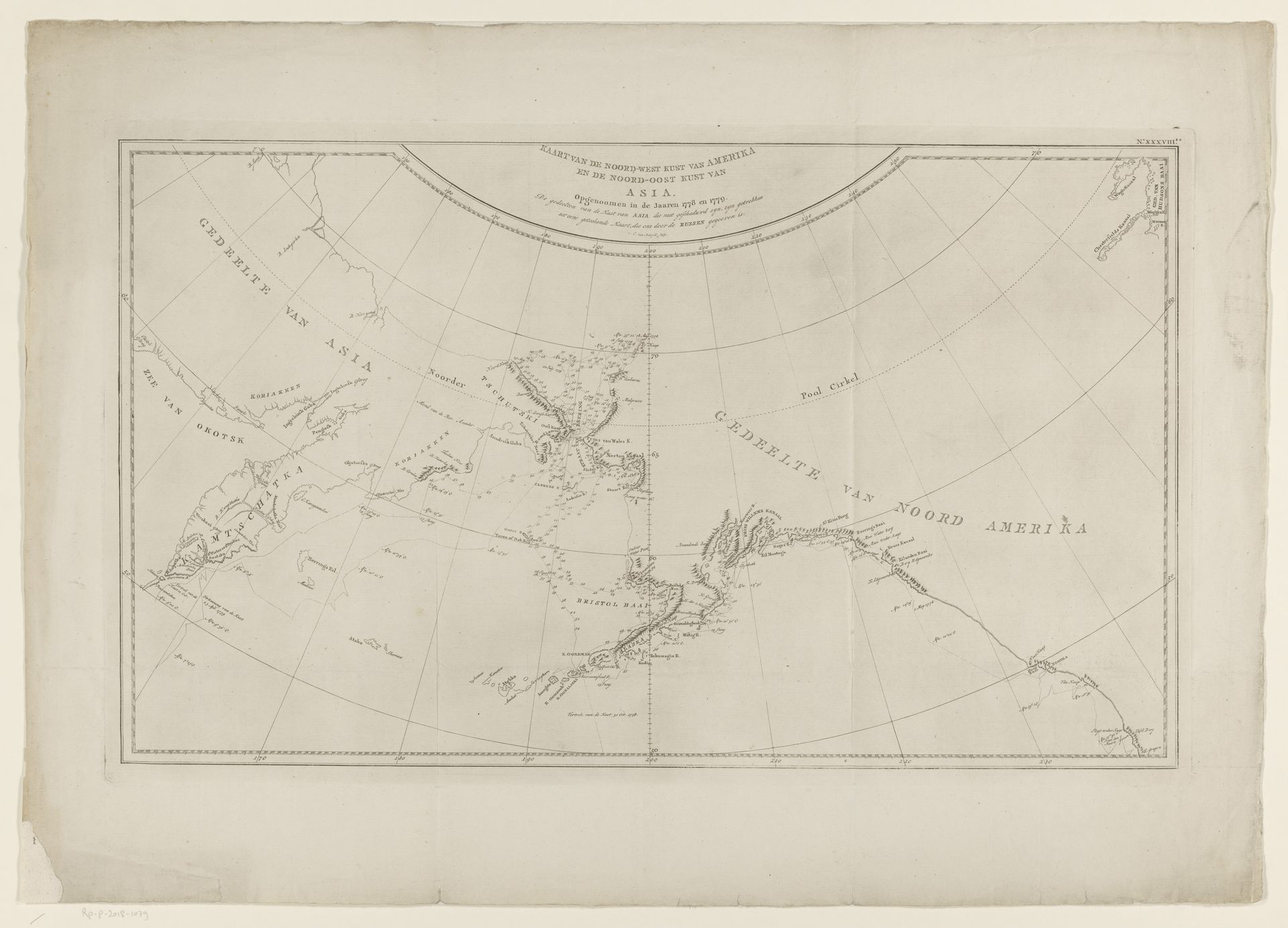
This is Cornelis van Baarsel's map of the northwest coast of America and the northeast coast of Asia. Notice the careful arrangement of geographical features, rendered with lines that delineate not only coastlines, but also cultural and political aspirations. Maps like these are never neutral; they are potent symbols of power, projecting a worldview that transcends mere topography. Consider how the simple act of naming a place—Bristol Bay, for example—stakes a claim, echoing across time. This echoes the act of the explorer planting a flag, an assertion of ownership over the unknown, connecting it to the collective memory of conquest and discovery. The map is more than a guide for navigators; it is a mirror reflecting our deepest desires for exploration and domination, a cycle that repeats itself throughout history. The past is never dead, it’s not even past.
Zeekaart van de noordwestkust van Amerika en de noordoostkust van Azië
1679 - 1779
Artwork details
- Medium
- print, etching, engraving
- Dimensions
- height 516 mm, width 665 mm
- Copyright
- Rijks Museum: Open Domain
Tags
Comments
Share your thoughts
About this artwork
This is Cornelis van Baarsel's map of the northwest coast of America and the northeast coast of Asia. Notice the careful arrangement of geographical features, rendered with lines that delineate not only coastlines, but also cultural and political aspirations. Maps like these are never neutral; they are potent symbols of power, projecting a worldview that transcends mere topography. Consider how the simple act of naming a place—Bristol Bay, for example—stakes a claim, echoing across time. This echoes the act of the explorer planting a flag, an assertion of ownership over the unknown, connecting it to the collective memory of conquest and discovery. The map is more than a guide for navigators; it is a mirror reflecting our deepest desires for exploration and domination, a cycle that repeats itself throughout history. The past is never dead, it’s not even past.
Comments
Share your thoughts