drawing, print, ink, engraving
#
drawing
# print
#
pen sketch
#
landscape
#
ink
#
geometric
#
orientalism
#
history-painting
#
engraving
Dimensions: height 294 mm, width 472 mm
Copyright: Rijks Museum: Open Domain
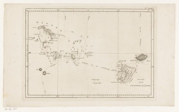
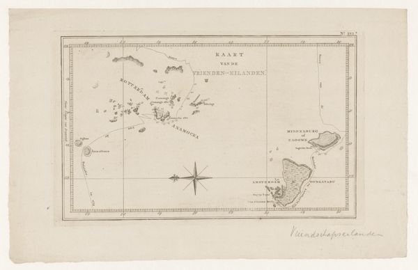
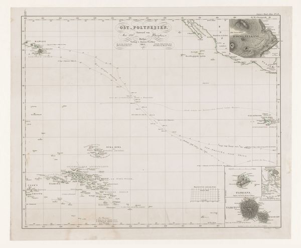
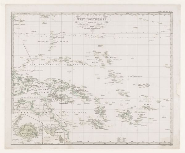
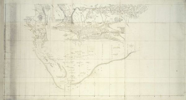
Cornelis van Baarsel created this map of the Sandwich Islands and Karakakooa Bay, using engraving, during a period of intense European exploration and colonization. At this time, the islands, now known as Hawai'i, were undergoing rapid transformation due to increasing contact with the outside world, which deeply impacted native Hawaiian society. The map reflects a Western perspective, naming and charting territories with an emphasis on their potential for trade and strategic importance. The detailed rendering of Karakakooa Bay, where Captain James Cook met his demise, underscores the colonial gaze and its complex interactions with the local population. The map is a stark reminder of the power dynamics at play, capturing a moment in time when the identities and histories of the Hawaiian people were being reshaped by external forces. It serves as a poignant, visual representation of the tensions between exploration, exploitation, and cultural exchange.
Comments
No comments
Be the first to comment and join the conversation on the ultimate creative platform.
More like this