drawing, print, paper, ink
#
drawing
# print
#
asian-art
#
landscape
#
paper
#
ink
#
romanticism
#
cityscape
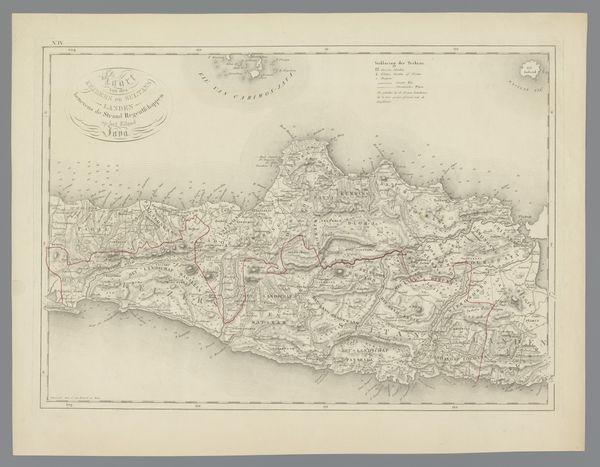
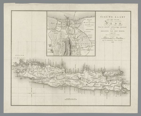
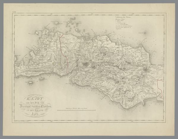
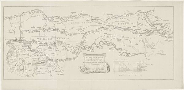
Dimensions: height 382 mm, width 530 mm
Copyright: Rijks Museum: Open Domain
This is a map of Madura and the port of Surabaya, made by C. van Baarsel en Zoon. Maps like these are never just neutral depictions of geography. They reflect the interests and priorities of those who commission and create them, and they should be viewed in their social and institutional context. Here we see Madura and Surabaya visualized through the lens of Dutch cartography. The detailed rendering of Surabaya's port highlights its strategic importance for trade and colonial control in the region. Consider how the map might have been used by the Dutch East India Company to facilitate navigation, resource extraction, or military operations. The act of mapping itself was a form of asserting power and claiming knowledge over a territory. To fully understand this map, we would need to delve into the archives of the Dutch colonial administration, study the historical accounts of the local population, and analyze the economic and political dynamics of the time.
Comments
No comments
Be the first to comment and join the conversation on the ultimate creative platform.
More like this