drawing, print, etching, engraving
#
drawing
# print
#
etching
#
asian-art
#
old engraving style
#
hand drawn type
#
personal sketchbook
#
hand drawn
#
romanticism
#
pen-ink sketch
#
thin linework
#
pen work
#
sketchbook drawing
#
hand-drawn
#
sketchbook art
#
engraving
#
realism
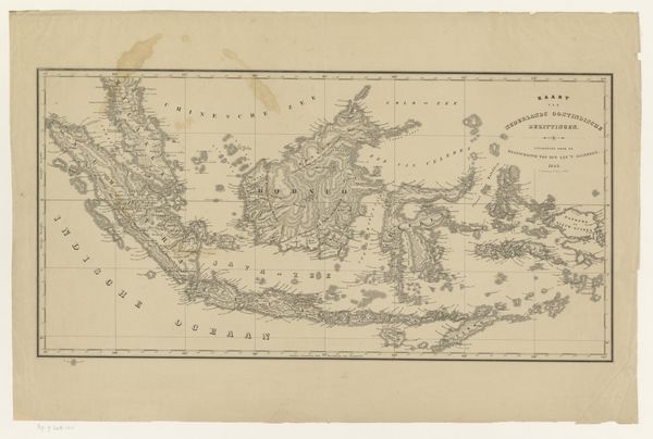
Dimensions: height 442 mm, width 560 mm
Copyright: Rijks Museum: Open Domain
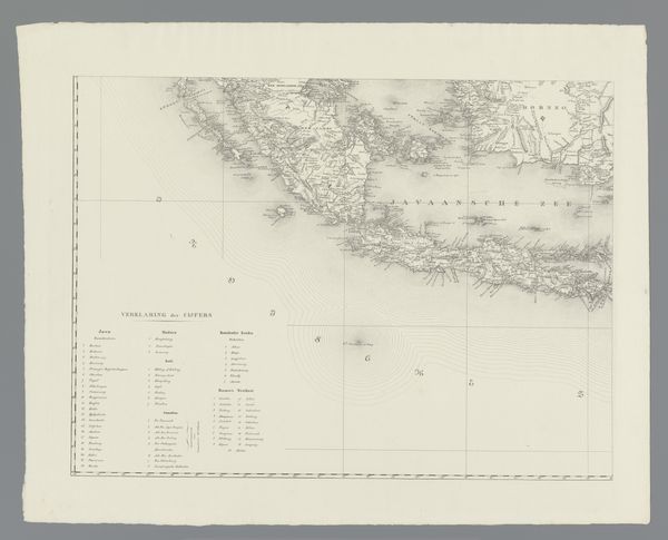
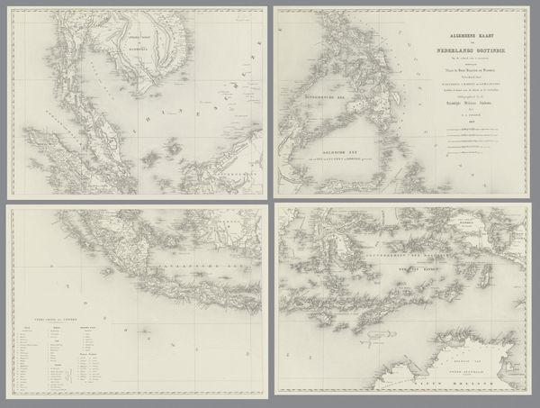
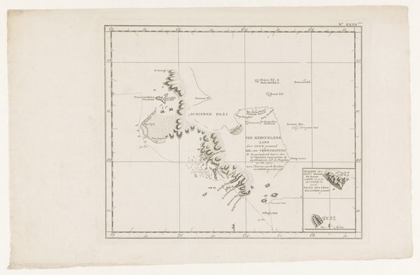
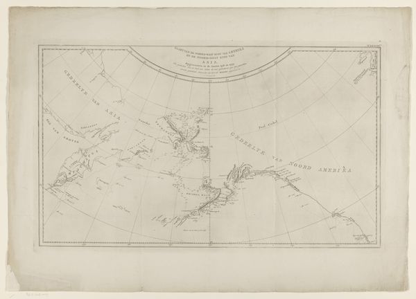
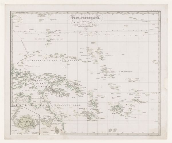
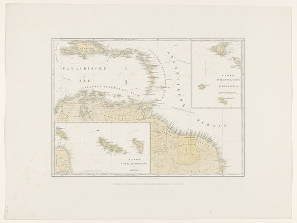
Franciscus Josephus Ensinck created this map of the Dutch East Indies, present-day Indonesia, using an engraving technique. Cartography, or map-making, in the 19th century was closely linked to colonial expansion and the assertion of power over distant lands. Maps like this one weren't just neutral representations of geography, they were tools used to claim and control territories. Notice the careful detailing of coastlines and waterways, essential for navigation and trade. The Dutch East India Company, a powerful trading organization, played a major role in colonizing the area. The map reflects the economic and strategic interests of the Dutch, highlighting resources and trade routes. Understanding the history of colonialism helps us to interpret this map not just as a geographical document, but as a symbol of power, exploitation, and cultural exchange. To fully understand the historical context, researchers consult archives of colonial records, company documents, and indigenous accounts to examine the impact of Dutch rule on the people and landscapes of the East Indies.
Comments
No comments
Be the first to comment and join the conversation on the ultimate creative platform.
More like this