print, engraving
#
dutch-golden-age
# print
#
landscape
#
engraving
Dimensions: height 410 mm, width 300 mm
Copyright: Rijks Museum: Open Domain
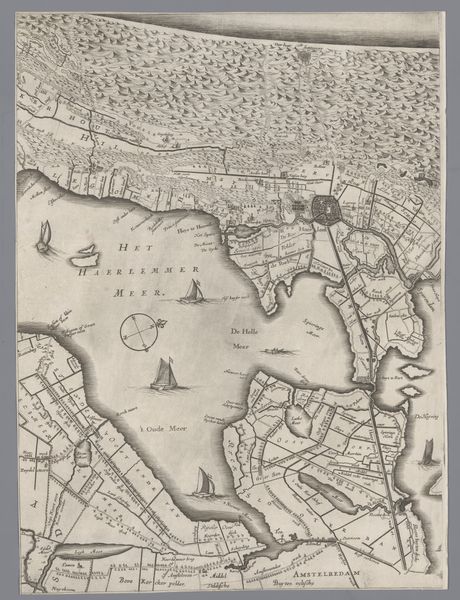
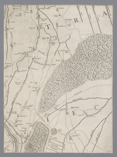
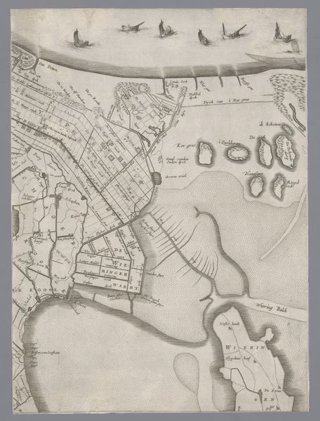
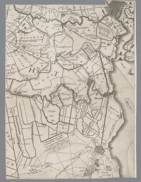
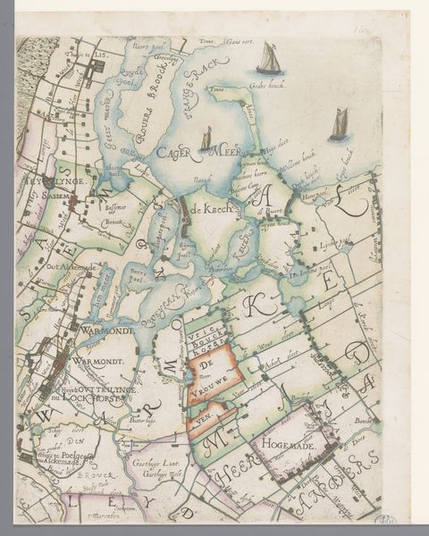
Curator: What a meticulously detailed map. Here we see "Kaart van het Graafschap Holland en Utrecht (plaat 11)," an engraving by Jacob Aertsz. Colom, created in 1639. It’s currently held in the collection of the Rijksmuseum. Editor: It’s surprisingly…calm. Despite being a map—usually tools of power—the subtle textures created by the engraving lend it a quiet, almost meditative quality. The waterways feel like veins on a leaf. Curator: Maps, particularly during the Dutch Golden Age, were powerful political tools. This detailed representation wasn’t merely about geographical accuracy; it was about claiming, defining, and communicating territorial control and the economic power connected to the water resources. Editor: Exactly. These visual representations literally shaped how people conceived of their world, reinforcing existing power structures, ownership, and even influencing social hierarchies by dictating movement and access. Consider, who commissioned this map, who used it, and what knowledge was prioritized. Curator: Colom was a well-known cartographer, part of a larger industry fulfilling a societal need driven by trade, naval power, and land reclamation projects. He catered to a market that included merchants, navigators, and landowners. It served a very real and functional role. Editor: And who got left off the map, both literally and figuratively? Were indigenous perspectives included or considered valuable? Looking at this now, in the context of the climate crisis and rising sea levels, how do we re-evaluate these historical claims to land and resources? What’s included, what’s emphasized – those are all value judgements with profound historical impacts. Curator: It highlights a fascinating intersection of art, science, and political power. His meticulous technique is as striking today as I’m sure it was centuries ago. It's important to acknowledge that a seemingly straightforward image carries within it so many socio-political layers. Editor: Precisely. Maps like this invite us to rethink not just how we understand history but how we map our own futures, considering inclusivity and equity within those frameworks.
Comments
No comments
Be the first to comment and join the conversation on the ultimate creative platform.
More like this