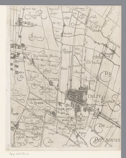
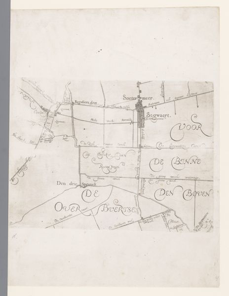
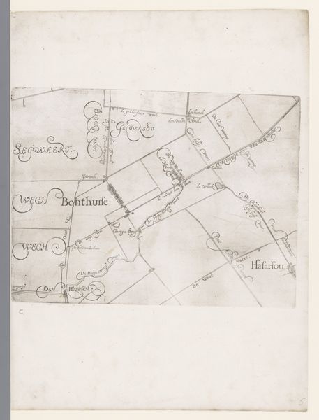
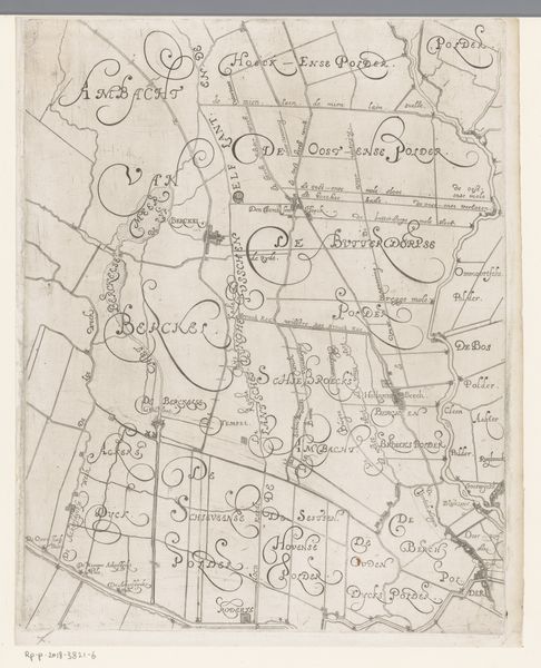
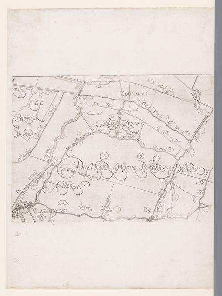
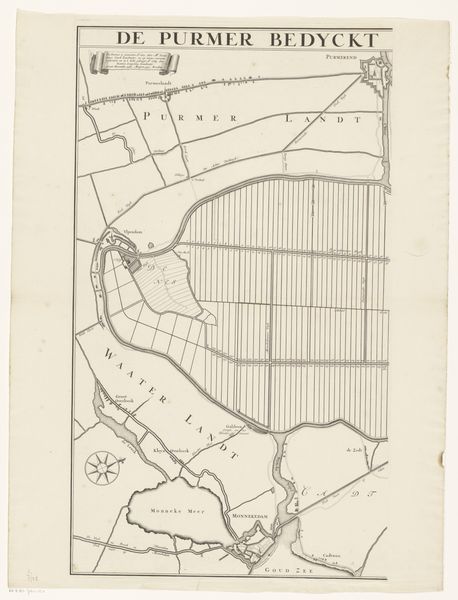
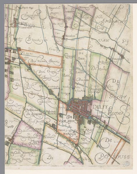
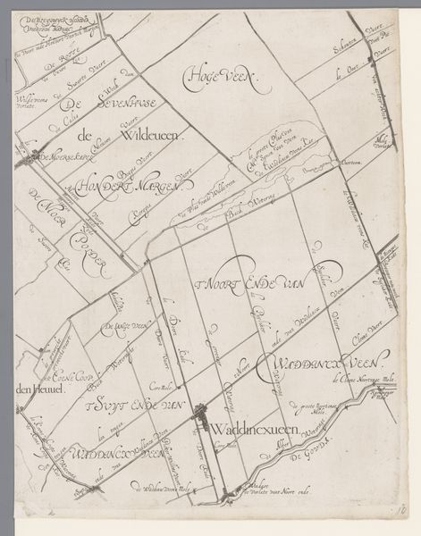
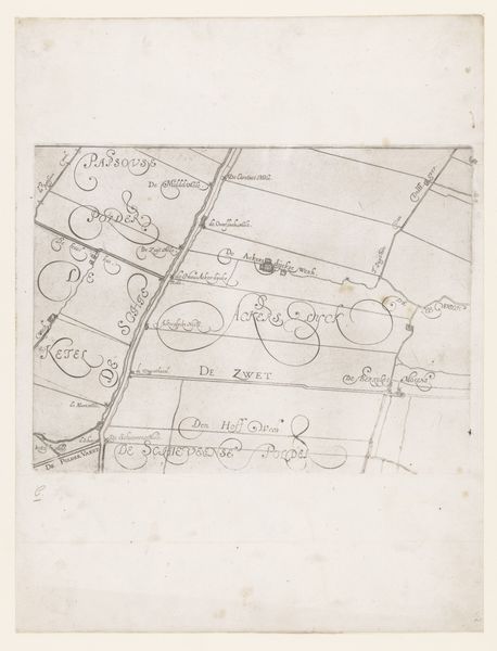
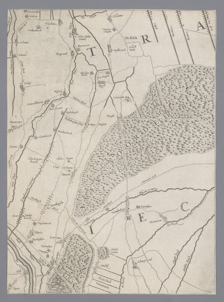
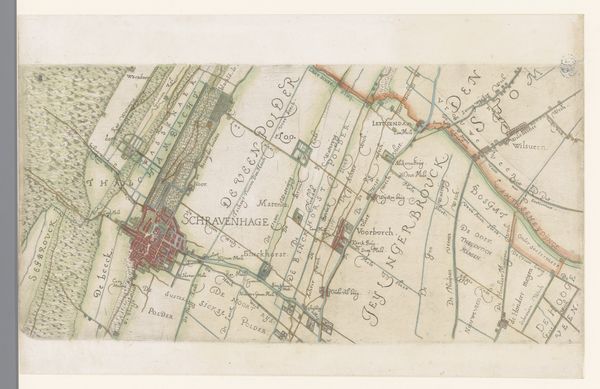
Kaart van het Hoogheemraadschap van Schieland, met Rotterdam, Hillegersberg en Overschie 1611 - 1635
florisbalthasarszvanberckenrode
Rijksmuseum
drawing, print, paper, ink, engraving
drawing
dutch-golden-age
landscape
paper
ink
cityscape
engraving
Dimensions: height 380 mm, width 291 mm
Copyright: Rijks Museum: Open Domain
Editor: This is an interesting drawing, it is entitled "Kaart van het Hoogheemraadschap van Schieland, met Rotterdam, Hillegersberg en Overschie" created sometime between 1611 and 1635 by Floris Balthasarsz van Berckenrode. It looks like ink on paper. What first strikes me is the density of information – place names, boundaries – all meticulously recorded. How do you interpret this work? Curator: This isn't just a map; it's a symbolic representation of Dutch identity at a crucial moment. Consider the waterways. Water management was integral to Dutch survival, wouldn't you agree? These carefully delineated polders – each a hard-won victory against the sea – become emblems of Dutch perseverance. The map is really a coded declaration of who the Dutch are. Editor: That’s interesting! I see it, the polders, especially, give this a sense of…purpose. Was there a reason Berckenrode included Rotterdam itself in such detail? Curator: Exactly! Rotterdam, at the bottom of the image, anchors the map but also links land and water, tradition and potential. Also notice how meticulously detailed each place name is noted on the drawing! The font choices, the careful lines -- it suggests stability, knowledge, and order. This isn’t just a representation of space but a potent symbol of cultural achievement and ingenuity. A proud visual testament! Editor: I hadn't considered the map itself as a symbol. I appreciate your pointing out the way the visual language elevates it beyond just geography. Curator: These historical documents offer more than just spatial orientation. They encapsulate cultural memory, whispering stories of resilience and resourcefulness to those who know how to listen. Editor: Thanks to you, I’m now listening more closely! I'm going to look at maps very differently now.
Comments
No comments
Be the first to comment and join the conversation on the ultimate creative platform.