print, engraving
#
dutch-golden-age
# print
#
landscape
#
ink line art
#
cityscape
#
engraving
Dimensions: height 571 mm, width 229 mm
Copyright: Rijks Museum: Open Domain
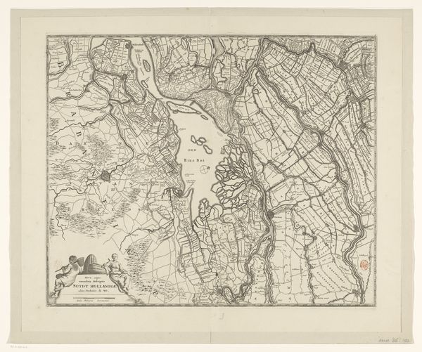
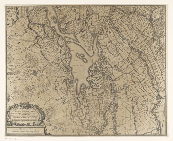
Editor: Here we have Hendrik de Leth’s 1729 "Kaart van een deel van Noord-Kennemerland," a printed engraving housed at the Rijksmuseum. It is deceptively simple. What stands out is its precise detail; you can practically trace every canal and plot of land. As a material object, what do you think this print tells us? Curator: Precisely. We should consider this not merely as a depiction, but as a commodity and record of labour. This wasn't just about representing landscape, it was about claiming and managing it. The act of surveying, engraving, and distributing this map participated directly in controlling land use. Consider the material costs—paper, ink, the engraver's tools. What was the social purpose here? Editor: You mean, who benefitted from the map's existence? It seems like landowners or merchants trading goods would get the most use of such details. Curator: Exactly. This level of cartographic detail wouldn’t be necessary or profitable without land-based capitalism already being an established concern. Maps like these codified ownership and facilitated resource extraction. Furthermore, this print is an artifact produced by specialized labor within a structured market. Was it a widely distributed item or commissioned for an individual? Editor: Well, it's in a museum, so I would guess it was not widely used. But maybe its survival says something about its quality. The labor of the engraver is undeniably evident. Curator: Precisely. The skill involved suggests this was a valuable object. What about the communities who lived on this land? Did this map empower them or facilitate their subjugation? Whose stories aren’t being told in this precisely rendered landscape? Editor: It really brings a new dimension to see how an image of land is really a story of production. Curator: Indeed. This "Kaart" exemplifies how art can actively shape economic and social relations by shaping our understanding of the land.
Comments
No comments
Be the first to comment and join the conversation on the ultimate creative platform.
More like this