drawing, print, etching, ink
#
drawing
#
dutch-golden-age
# print
#
etching
#
landscape
#
etching
#
ink
#
cityscape
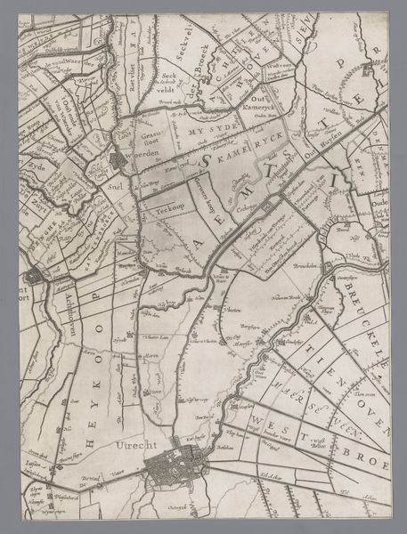
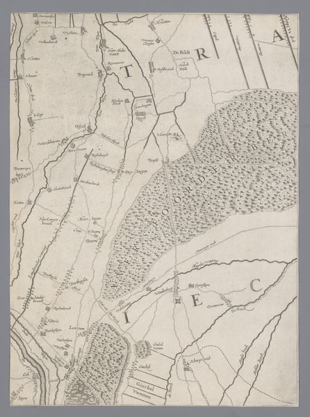
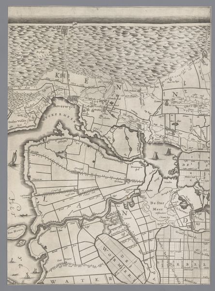
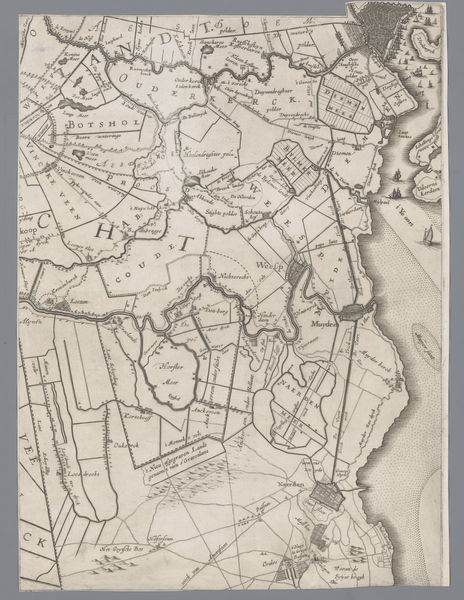
Dimensions: height 410 mm, width 300 mm
Copyright: Rijks Museum: Open Domain
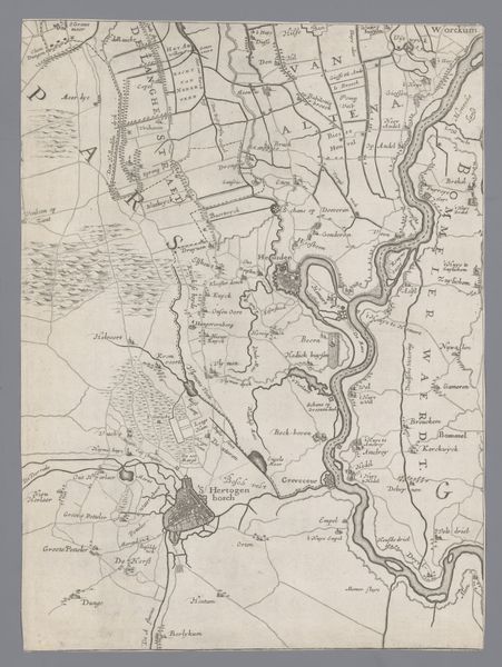
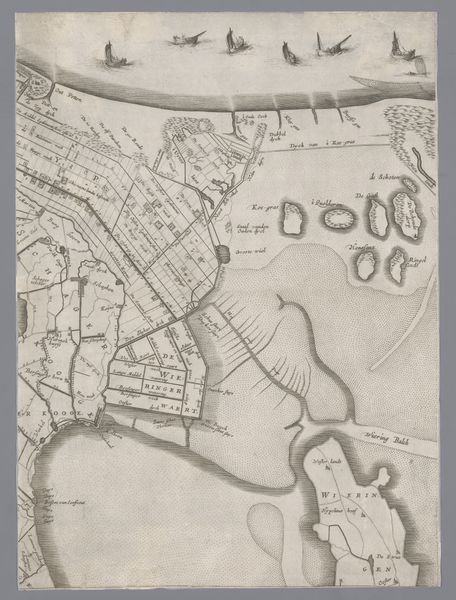
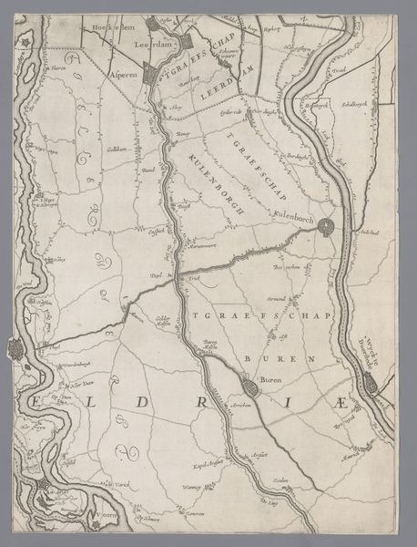
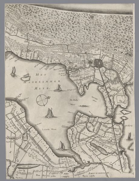
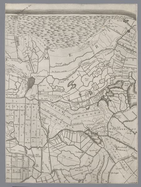
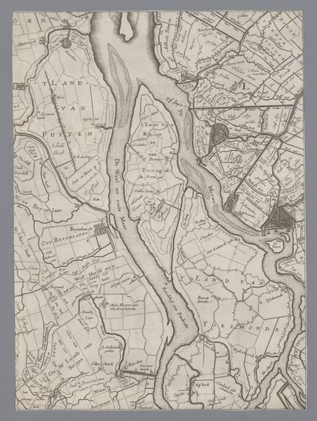
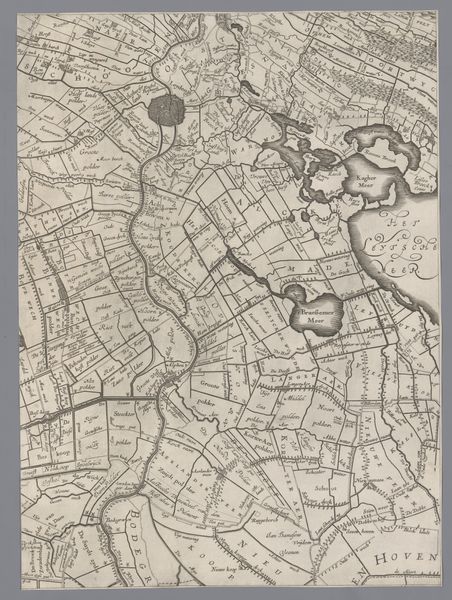
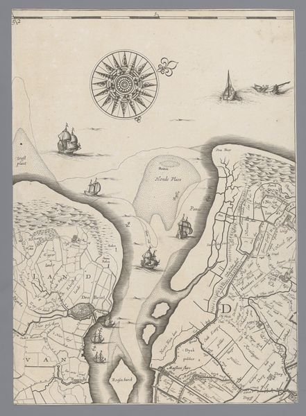
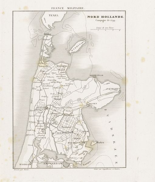
Jacob Aertsz Colom made this map of Holland and Utrecht sometime before his death in 1673, using ink on paper. Maps like these weren't just about geography, they were about power, trade, and knowledge. The ink lines, etched with precision, delineate not only land and water but also property lines, roads, and settlements. Consider the labor involved: from the initial surveying of the land to the meticulous engraving and printing processes. Each stroke represents countless hours of skilled craftsmanship. Printed maps were a key technology, just like digital mapping today. They shaped how people understood their place in the world and how resources were managed. They facilitated trade, military campaigns, and colonial expansion, reflecting the growing mercantile power of the Dutch Republic. Ultimately, by looking closely at materials and techniques we can appreciate the full significance of objects like this, and question what we think we already know about craft, art, and the making of history.
Comments
No comments
Be the first to comment and join the conversation on the ultimate creative platform.
More like this