drawing, print, paper, ink, engraving
#
drawing
#
dutch-golden-age
# print
#
landscape
#
perspective
#
paper
#
ink
#
geometric
#
engraving
Dimensions: height 403 mm, width 297 mm
Copyright: Rijks Museum: Open Domain
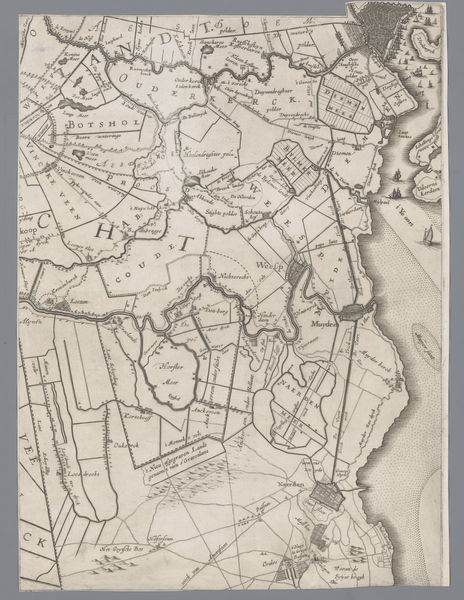
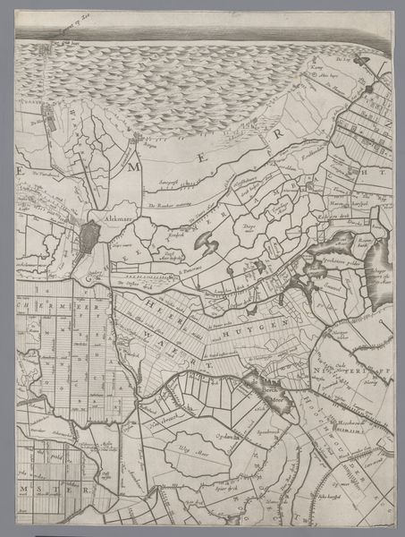
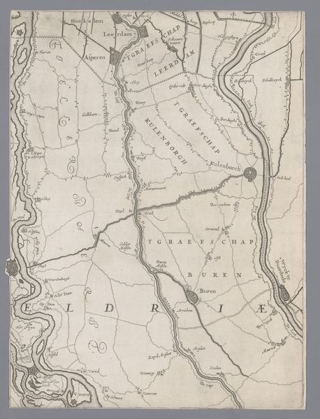
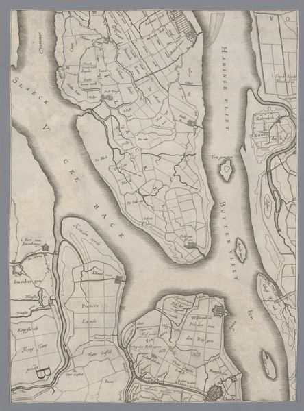
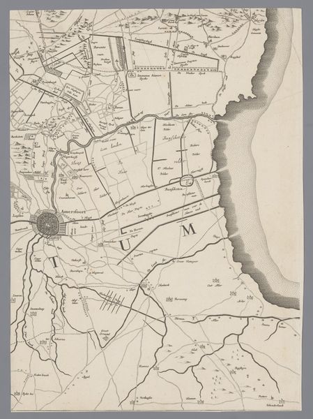
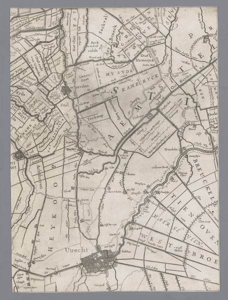
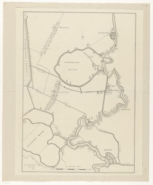
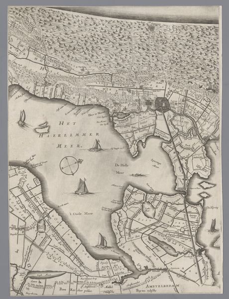
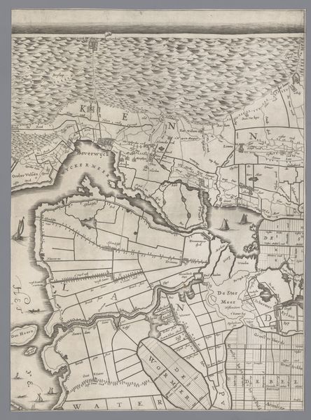
This is Jacob Colom’s etched map of Holland and Utrecht, capturing the landscape with a precision that belies deeper, symbolic currents. Consider the strategic placement of fortresses. These aren’t merely military necessities; they echo the ancient Roman castra, symbols of power and order imposed upon the land. This cartographic projection revives a sense of dominion, a claim of civilization over untamed nature, much like the Roman ambition to map and control their vast empire. Note how bodies of water dissect the landscape, evoking both the life-giving force of rivers and the ever-present threat of inundation, mirroring the primordial chaos from which the world was formed. These features are not merely geographical; they resonate with the subconscious anxieties of a people living in a precarious balance with their environment. In viewing this map, we aren’t just seeing a layout of land, but a complex layering of cultural memory, fear, and aspiration, a cartographic palimpsest where the past continually informs the present.
Comments
No comments
Be the first to comment and join the conversation on the ultimate creative platform.
More like this