drawing, print, paper, watercolor
#
drawing
# print
#
landscape
#
river
#
paper
#
watercolor
#
coloured pencil
Dimensions: height 164 mm, width 227 mm
Copyright: Rijks Museum: Open Domain
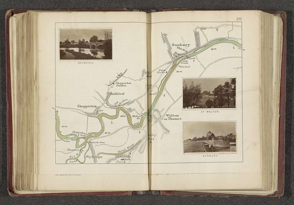
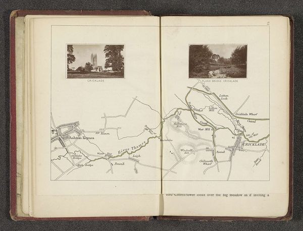
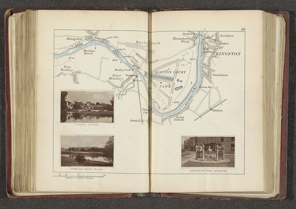
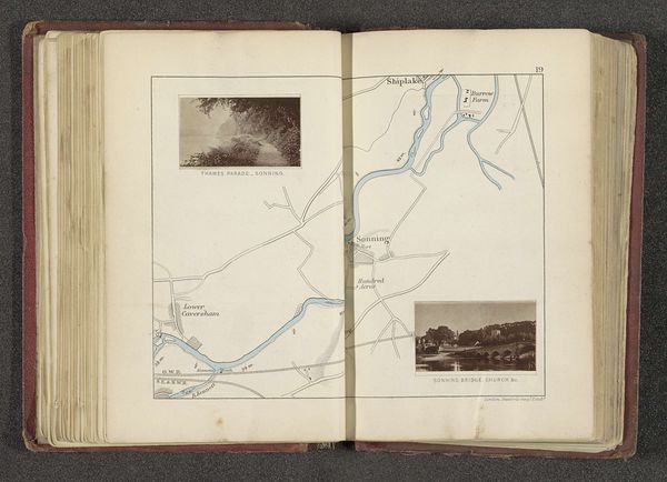
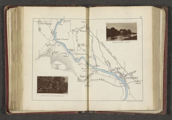
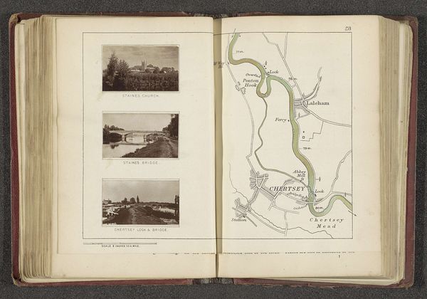
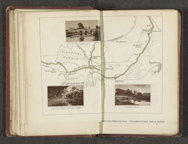
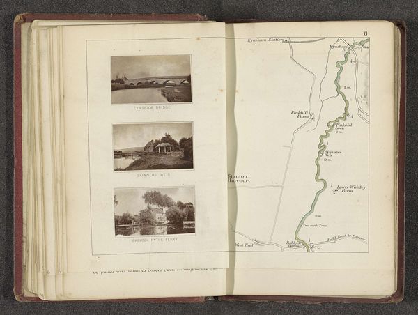
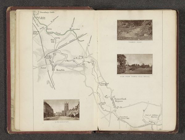
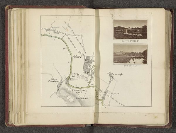
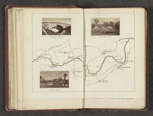
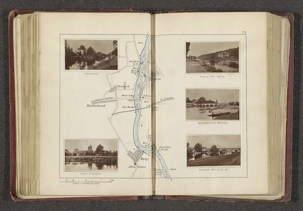
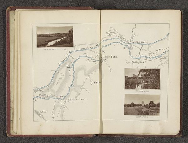
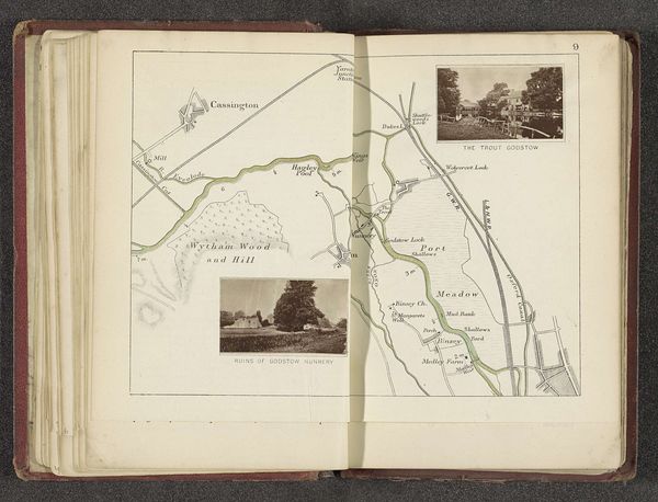
Curator: This is a page from an album by Henry Taunt, titled "Kaart met twee afbeeldingen van plaatsen langs de Theems," placing two Thames scenes into relationship with a drawn map, sometime before 1879. The combined mediums – photographs integrated with map – give me a distinct feeling about how people in that era experienced and understood their landscape. What strikes you first about it? Editor: The contrasting viewpoints are interesting! It feels like Taunt wanted to give the viewer both a scenic view and a functional representation of the same area. But why combine them like this? Curator: Exactly! Taunt was active during a period of significant expansion of photography, its intersection with social documentation, and increased tourism along the Thames. By combining the picturesque with the practical, the scenic photograph with the ordinance survey map, the album presents itself almost as a kind of accessible record for popular consumption. Note how the composition almost echoes the way many viewers probably engaged with the river - partly for leisure and partly through some kind of property interests. It asks: Who are these books made *for*, do you think? Editor: Someone wealthy enough to take leisure trips and perhaps also involved in land ownership? Did albums like these affect how the Thames was perceived or valued? Curator: I believe so. They popularized the river and, by extension, the countryside. In doing so, they framed its future; developing a social imperative to consider its protection as a valuable cultural asset in the face of industrial change. And how, therefore, property rights and scenic preservation need to be weighed carefully. Editor: I see how presenting the Thames as both beautiful scenery and as mapped territory makes its social and economic importance clearer. The imagery is part of its identity. Curator: Precisely! I wonder what the waterways and beauty spots near us mean in a similar context? Editor: It’s fascinating to see how much history is embedded even in something that appears so simple, a Thames river view from yesteryear. Thank you!
Comments
No comments
Be the first to comment and join the conversation on the ultimate creative platform.
More like this