drawing, print, paper, watercolor
#
drawing
# print
#
landscape
#
paper
#
watercolor
#
coloured pencil
#
watercolor
Dimensions: height 182 mm, width 238 mm
Copyright: Rijks Museum: Open Domain
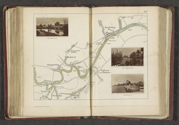
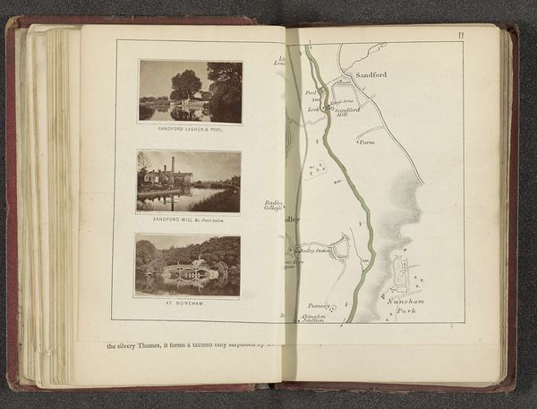
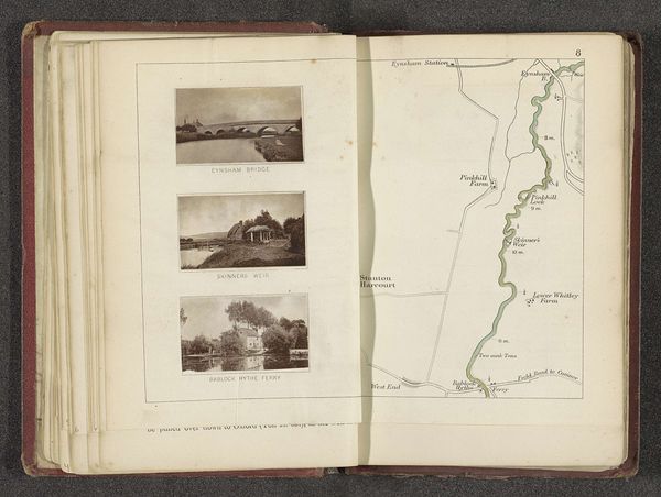
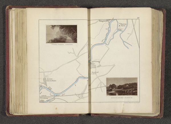
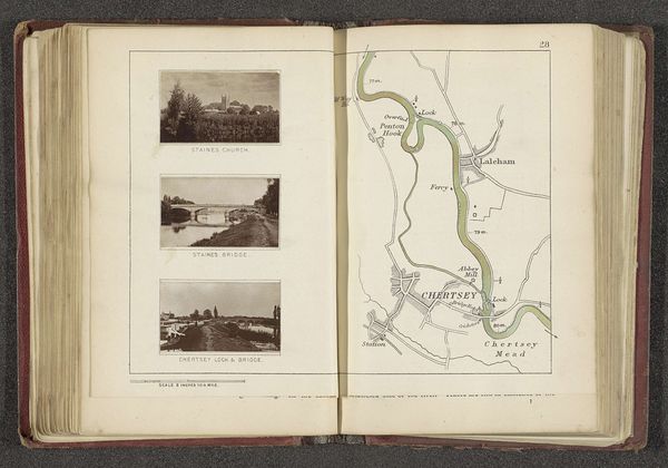
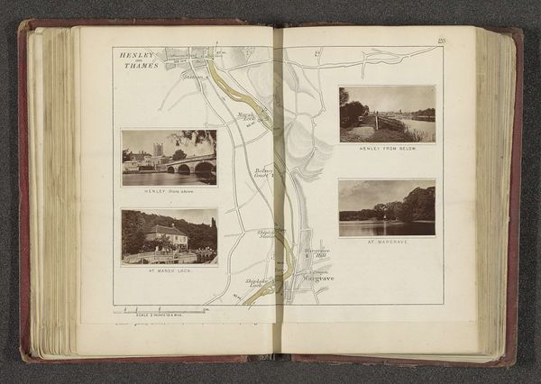
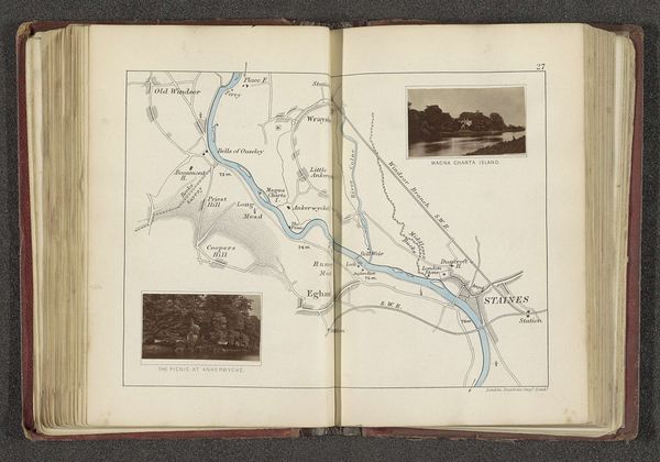
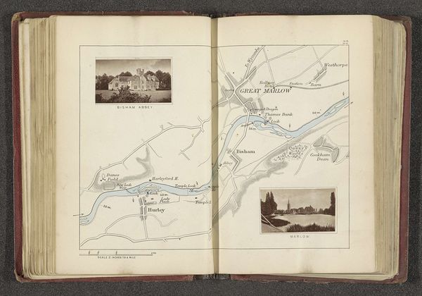
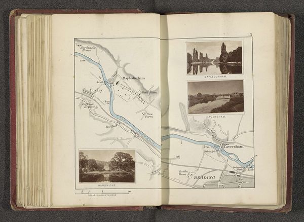
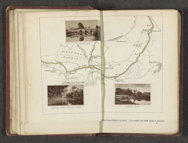
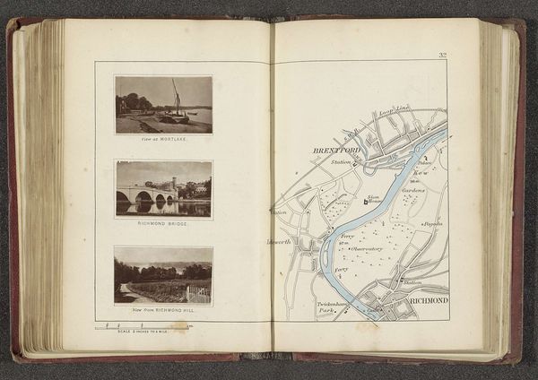
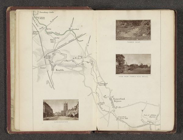
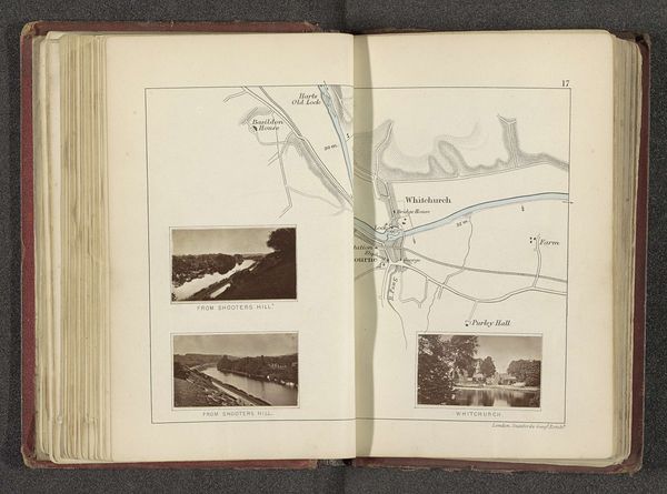
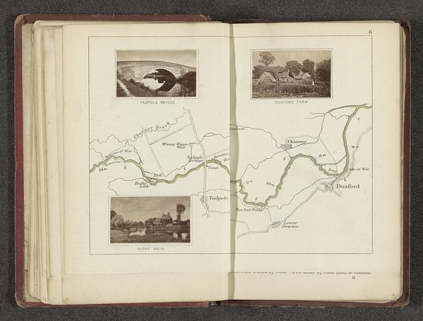
Curator: At first glance, this piece seems almost scientifically detached, yet quietly charming. Editor: Indeed. Let's delve into "Kaart met drie afbeeldingen van plaatsen langs de Theems" created by Henry W. Taunt before 1879. It’s a combination of drawing and print, with watercolor washes on paper. Curator: So, the hybridity of media already speaks volumes. How fascinating to combine these printing methods with direct interventions. Is this artist taking control of the means? Editor: Precisely! Taunt uses these traditional media to create something beyond just a practical document. It shows us how artisanal processes blend into industrial methods of the time. We're looking at a piece created on paper, utilizing watercolor washes, maybe to elevate these prints? Curator: I find that interesting because this combination of media helps to show this as a functional document, rather than a sublime painting for the aesthetic eye, it shows us a commoners document! Editor: Yes, in a social and institutional historical way, this isn't meant to simply record a place; but for personal use or collection, this speaks to how knowledge and images are spread in society and maybe also class associations? Curator: It is almost as if the paper has become this vessel containing a specific place or event, like this time capsule that is waiting to be shared! The paper has a story to tell beyond simply acting as a ground for pigment! Editor: These layered methods suggest that a dialogue between craft and mechanical reproduction opens to allow us to appreciate the artist's labor in constructing not just an image but the viewers experience of place through this lens. Curator: Absolutely, these scenes allow an opportunity for reflection, and to contemplate the artistic interpretation. Editor: This brings up critical issues of access and visual literacy. This approach to capturing these locations seems a direct ancestor of the everyday travel snapshot.
Comments
No comments
Be the first to comment and join the conversation on the ultimate creative platform.
More like this