drawing, print, paper, photography, ink
#
drawing
#
aged paper
#
toned paper
# print
#
sketch book
#
landscape
#
river
#
paper
#
photography
#
personal sketchbook
#
ink
#
coloured pencil
#
sketchbook drawing
#
cityscape
#
watercolour bleed
#
watercolour illustration
#
sketchbook art
#
watercolor
Dimensions: height 182 mm, width 230 mm
Copyright: Rijks Museum: Open Domain
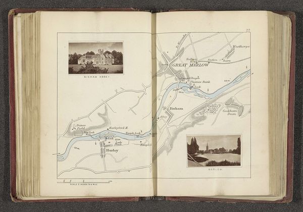
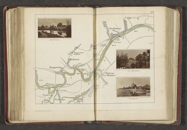
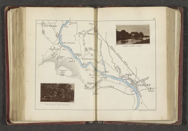
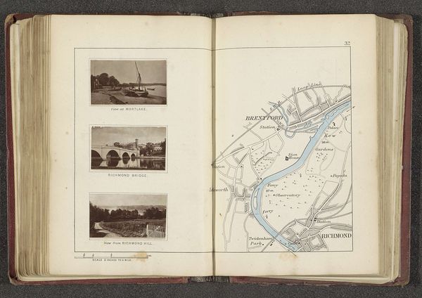
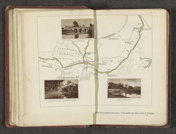
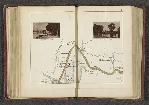
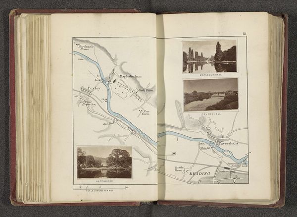
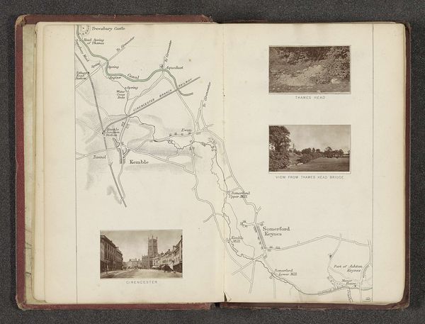
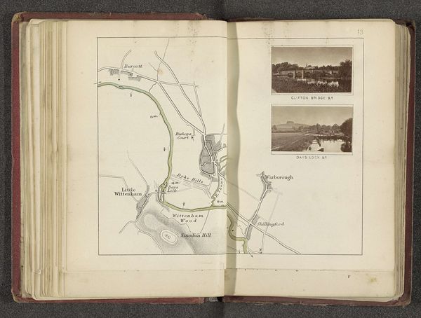
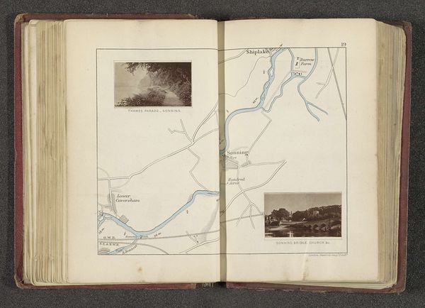
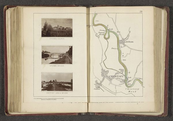
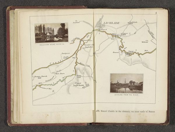
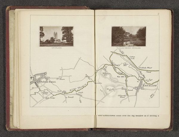
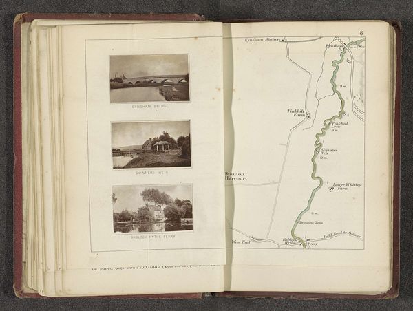
Curator: This open sketchbook reveals a fascinating composition: “Kaart met drie afbeeldingen van plaatsen langs de Theems,” which translates to "Map with three images of places along the Thames." Created by Henry W. Taunt before 1879, it incorporates ink drawings, prints, and what appears to be photographic elements on toned paper. Editor: Oh, it has this nostalgic sepia tint that makes me think of old postcards. But what strikes me is the slightly awkward, endearing mix of the precise map and these almost dreamlike snapshots nestled around it. Curator: The juxtaposition is quite intentional. The map, detailed and schematic, emphasizes infrastructure like train stations alongside waterways. Editor: While the little picture vignettes transport you right onto the riverbank! You almost expect a boat to drift lazily into the frame. Curator: The layering is informative in thinking about 19th-century views of progress, and Taunt's social commentary might touch the ideal and idyllic on the one hand, and on the other a way of mapping development around the river. How society reshapes the landscape. Editor: So, on the one hand, we’ve got progress forging ahead, the need for railway maps. And, yet, we’re drawn to pause with those dreamy watercolor views, capturing a gentler pace? A resistance almost? Curator: That tension mirrors debates of the time concerning industrial impact on the natural world, absolutely. Consider also the role of photography at this moment and the expansion of photographic practices out of strictly commercial projects to capture more personalized and creative experiences and reflections. Editor: Exactly. This feels so…personal. Like rifling through someone's travel diary. Maybe a touch of longing in the toned paper. A bittersweet, nostalgic journey down the Thames! It’s more than just geography; it's about the experience of a place. Curator: A convergence of art, science, and personal reflection then? The intersections of photography, maps and experience reveal not just what places are documented but also how the places are experienced and remembered. A valuable window into our own interpretation of historical moments.
Comments
No comments
Be the first to comment and join the conversation on the ultimate creative platform.
More like this