drawing, print, etching, paper, photography, pencil
#
drawing
# print
#
etching
#
landscape
#
paper
#
photography
#
coloured pencil
#
pencil
#
cityscape
Dimensions: height 162 mm, width 232 mm
Copyright: Rijks Museum: Open Domain
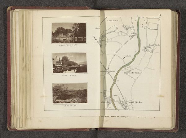
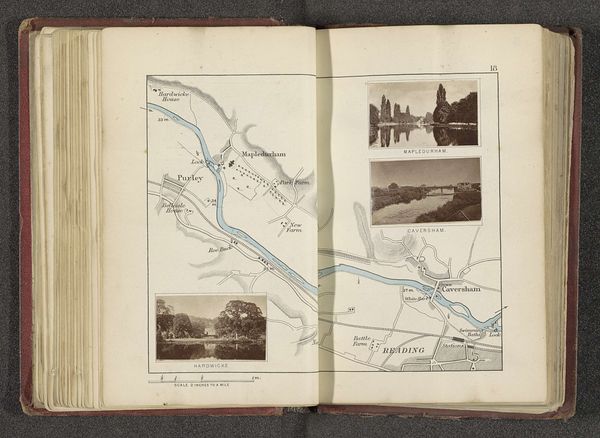
Henry Taunt made this map with two photographs of Cricklade, likely in the late 19th or early 20th century, using photographs and ink. This was a time of great change for rural English villages. The map depicts Cricklade and its surrounding areas, a commentary on the importance of place and local identity during a period of industrial and social transformation. Taunt's choice to include photographs of the church and Plank Bridge reflects the contemporary interest in preserving the image of England's rural past, even as it was being reshaped by modernity. The detailed mapping and inclusion of local landmarks suggests a desire to document and celebrate the unique character of this community. Such efforts reflect broader social and cultural trends. To fully understand its creation, one might look to local historical societies, photographic archives, and period guidebooks. These could reveal the values and attitudes that shaped its production and reception.
Comments
No comments
Be the first to comment and join the conversation on the ultimate creative platform.
More like this