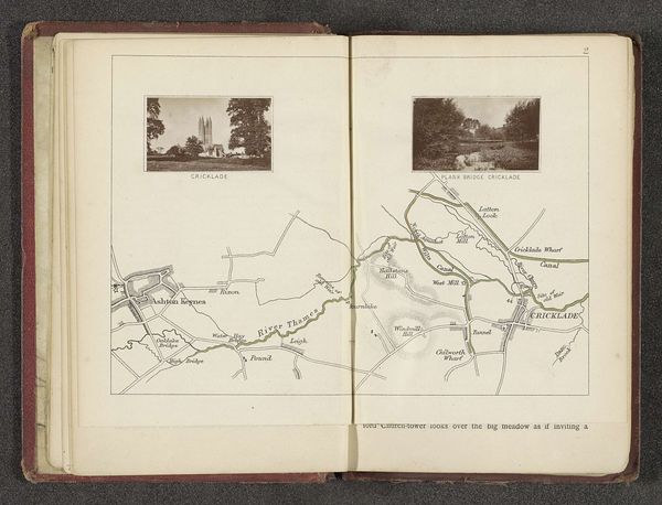
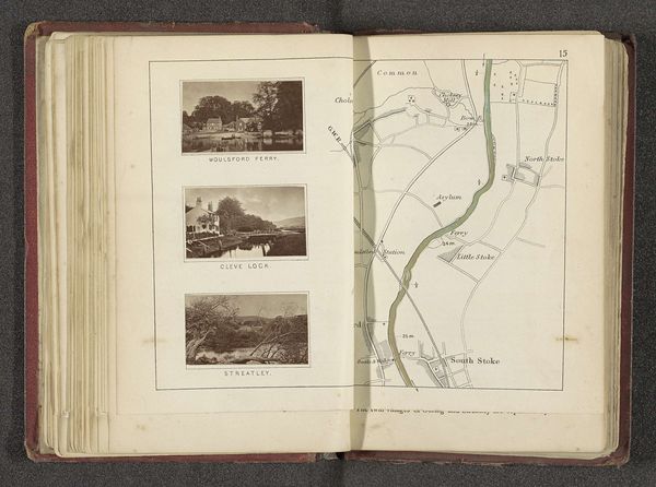
drawing, print, paper, ink, pencil
#
drawing
# print
#
landscape
#
river
#
paper
#
ink
#
coloured pencil
#
pencil
Dimensions: height 165 mm, width 230 mm
Copyright: Rijks Museum: Open Domain
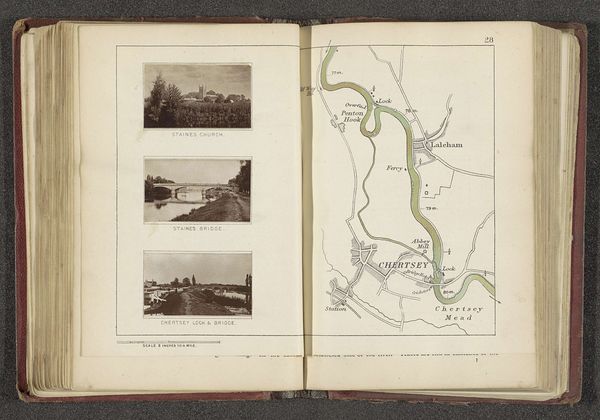
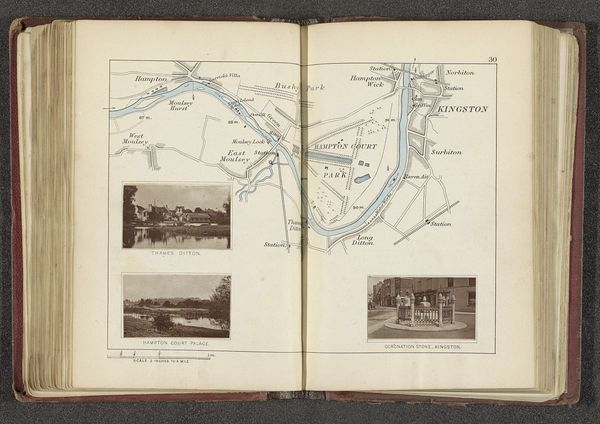
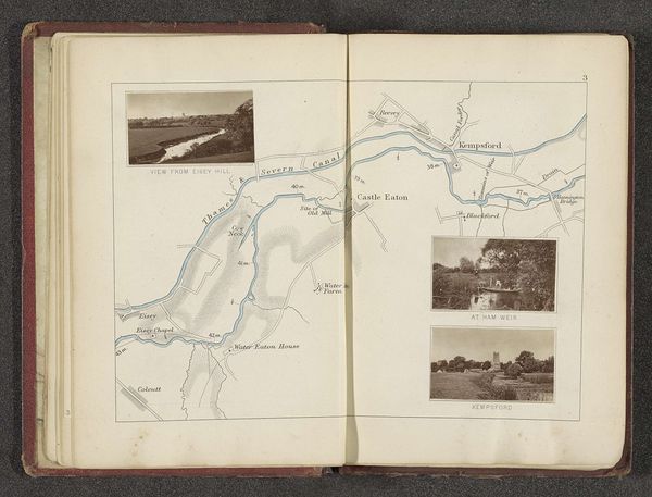
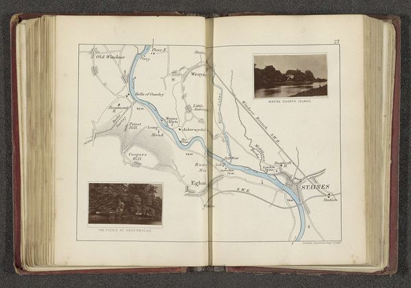
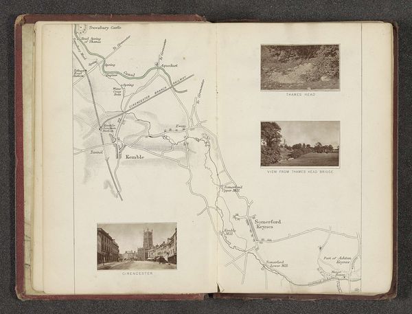
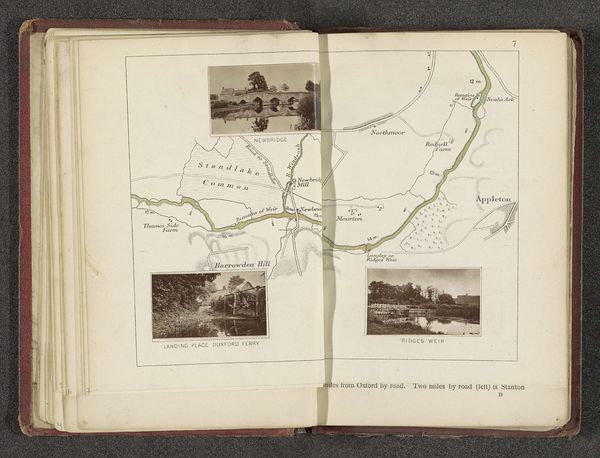
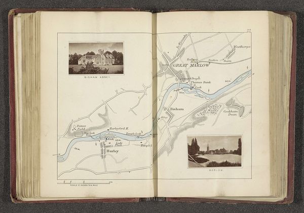
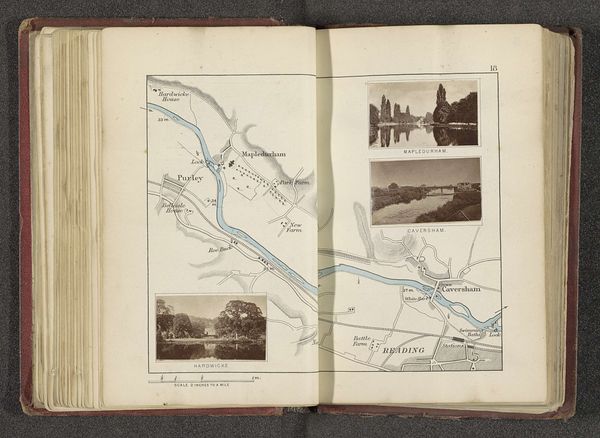
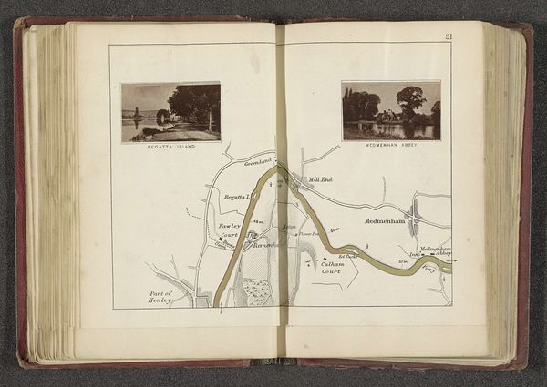
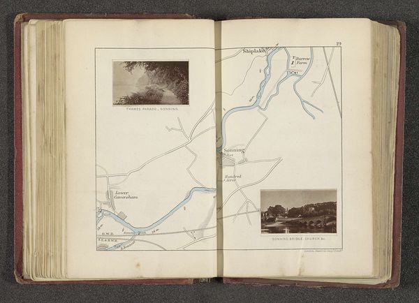
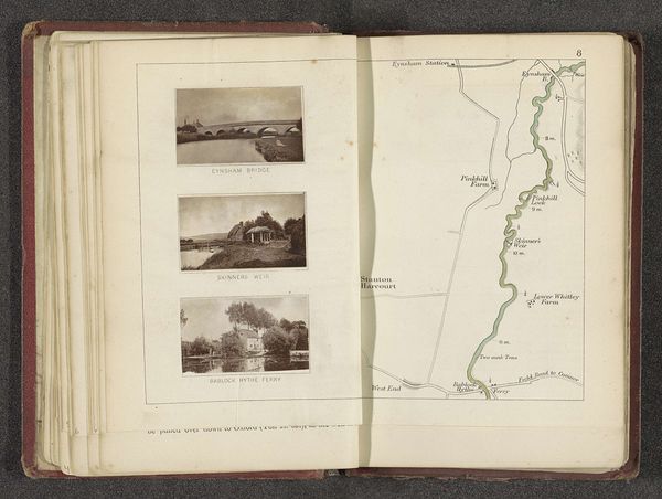
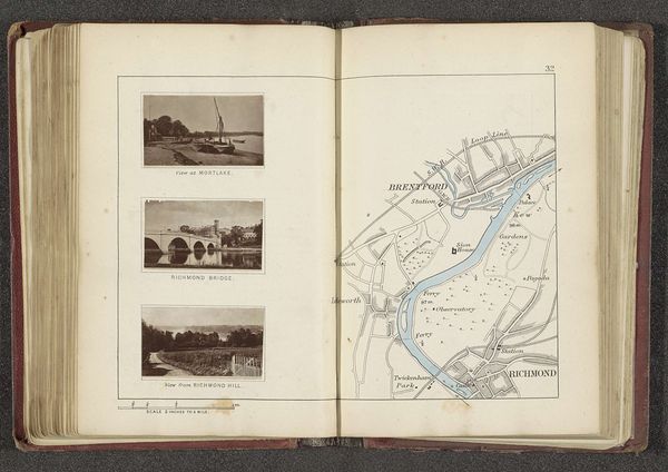
Editor: Here we have Henry W. Taunt's "Kaart met drie afbeeldingen van plaatsen langs de Theems," a print with ink and pencil, dating from before 1879. It has a charmingly antiquated feel, with its delicate renderings of the river and surrounding landscapes. What catches your eye? Curator: This piece whispers of the persistent human desire to map and capture our surroundings, doesn’t it? The combination of map and picturesque vignettes suggests more than just a geographical record. Think about how water, rivers specifically, feature in myth, folklore, and even the collective unconscious. What associations do these images along the Thames evoke for you? Editor: I guess I see it as a pretty record of places, perhaps for someone planning a trip? The little pictures are like postcards. Curator: Consider the cultural significance of the Thames itself. It’s not just a river; it's a vein through England’s history, bearing witness to centuries of commerce, conquest, and cultural exchange. Do these specific locales – Weybridge, Walton, Sunbury – have particular resonance in English identity? Were they significant trading posts, sites of battles, or perhaps associated with literary or artistic movements? Taunt's choice of locations speaks volumes. Editor: That’s a side I hadn’t considered – how intertwined places can be with history and memory. I was focused on the surface. Curator: And isn’t that the joy of art? To continually uncover new layers of meaning. It's a dialogue across time. This piece, seemingly simple, is dense with potential readings about place and identity. Editor: I will remember to dig deeper beyond my first reaction in the future. Thank you.
Comments
No comments
Be the first to comment and join the conversation on the ultimate creative platform.
More like this